Much of the land within Patapsco Valley State Park is open to seasonal bow hunting. Consider wearing bright neon clothing. To learn more, visit: https://dnr.maryland.gov/publiclands/Pages/central/PatapscoValley/Hunting.aspx
Many areas have limited parking with no parking signs posted outside of the lots. Please follow all parking rules and if a lot is full, go to another nearby crag.
Numerous crags sit near the train tracks. Walking on the tracks is not permitted so stick to the trails! For more information please visit midatlanticclimbers.org
ABOUT Patapsco Valley State Park
This digital Patapsco Valley State Park climbing guidebook gives you GPS navigation, verified topos, and beta for hundreds of climbs. Explore classics and hidden gems with offline access to maps, directions, and beta videos. Whether it's your first visit or fiftieth, KAYA makes your Patapsco Valley State Park days smoother, safer, and more dialed.

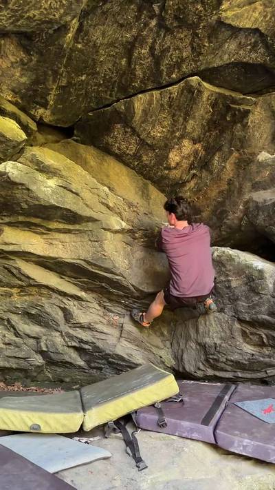
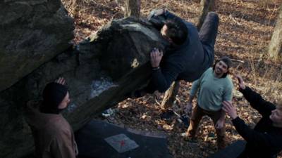
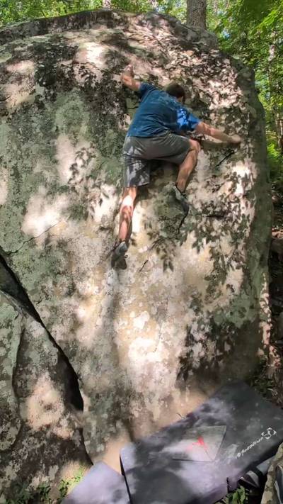
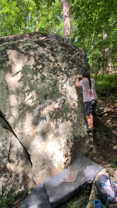
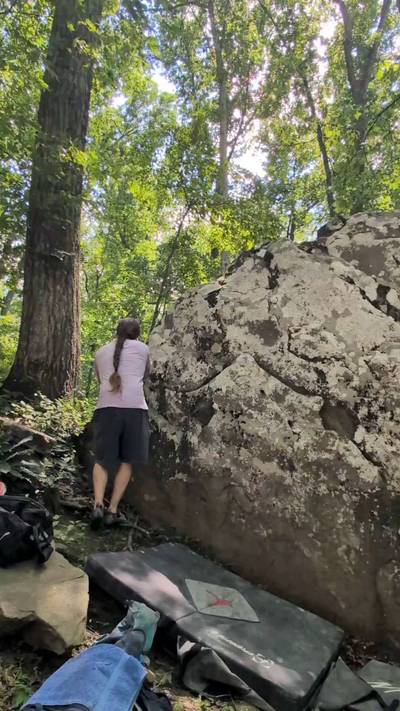
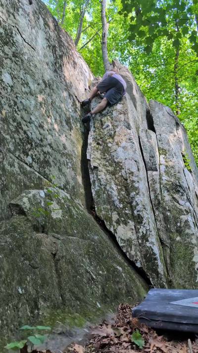
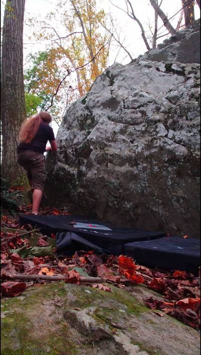
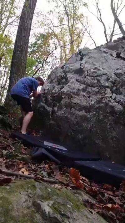
The Patapsco Valley State Park encompasses 16,000 acres of protected land that follows 32 miles of the Patapsco River. The park is frequented by hikers, fishermen, mountain bikers, kayakers, bow hunters, horseback riders, and of course rock climbers!

Climbers have been visiting Patapsco for decades. This guide is only possible due to the many years of hard work by local developers, first ascentionists, and crag stewards who have found, cleaned, climbed, and secured access to the rocks listed here. Mark "Indy" Kochte's "Climb Maryland" guides ... Show more
This digital Patapsco Valley State Park climbing guidebook gives you GPS navigation, verified topos, and beta for hundreds of climbs. Explore classics and hidden gems with offline access to maps, directions, and beta videos. Whether it's your first visit or fiftieth, KAYA makes your Patapsco Valley State Park days smoother, safer, and more dialed.
The Patapsco Valley State Park encompasses 16,000 acres of protected land that follows 32 miles of the Patapsco River. The park is frequented by hikers, fishermen, mountain bikers, kayakers, bow hunters, horseback riders, and of course rock climbers!
Climbers have been visiting Patapsco for decades. This guide is only possible due to the many years of hard work by local developers, first ascentionists, and crag stewards who have found, cleaned, climbed, and secured access to the rocks listed here. Mark "Indy" Kochte's "Climb Maryland" guides are invaluable resources for any DMV climber. Go buy them now. https://nextascent.com/maryland-climbing-guidebook/ John Kelbel aka "Mr. Patapsco" has created an incredible resource which documents nearly every gosh darn hunk of rock in the park in google maps along with photos. The Kelbel guide is a treasure map for anyone wanting to do future development at Patapsco and can be found here. https://patapscorock.blogspot.com/ Justin Piteleski, John Brunson, Robin Close, and Mark Profeta deserve special mention for their initial wave of bouldering development. Their love for choss hunting is inspirational. Because of these motivated climbers, the phrase "There's no climbing in Maryland." is heard less and less these days.
Finally, many of these crags are also used by graffiti artists and rapscallions who like to smash glass bottles and leave trash everywhere. Anytime you visit Patapsco bring an empty trash bag and try to leave with it full. The good karma will help you send your proj. Even better, volunteer with Mid Atlantic Climbers Adopt-A-Crag events to clean graffiti, broken glass, and trash. The authors of this guide have elected to donate the proceeds to Mid-Atlantic-Climbers to help fund these clean-ups.
Explore Patapsco Valley State Park from all levels with KAYA PRO. Drill down to the area, subarea, boulder and climb levels. Get approach information for each, and a variety of beta.