Reynolds Creek Climbing

Last Updated: Aug, 2026
191
Ascents
316
Boulders
1
Route
Guide moderated by Mike McClure
ABOUT Reynolds Creek

This digital Reynolds Creek climbing guidebook gives you GPS navigation, verified topos, and beta for hundreds of climbs. Explore classics and hidden gems with offline access to maps, directions, and beta videos. Whether it's your first visit or fiftieth, KAYA makes your Reynolds Creek days smoother, safer, and more dialed.

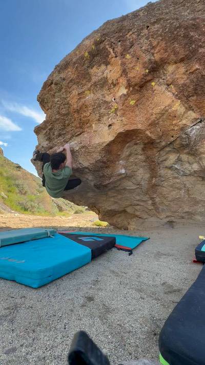
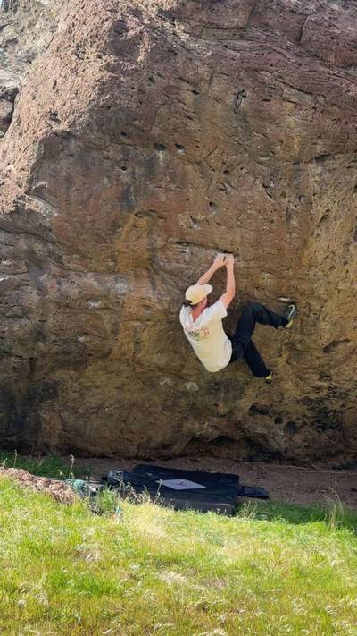
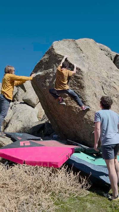
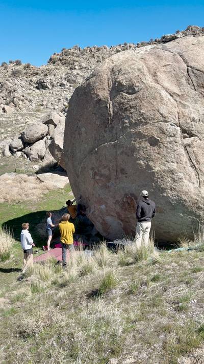
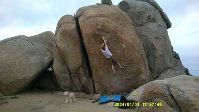
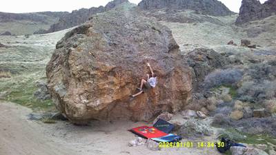
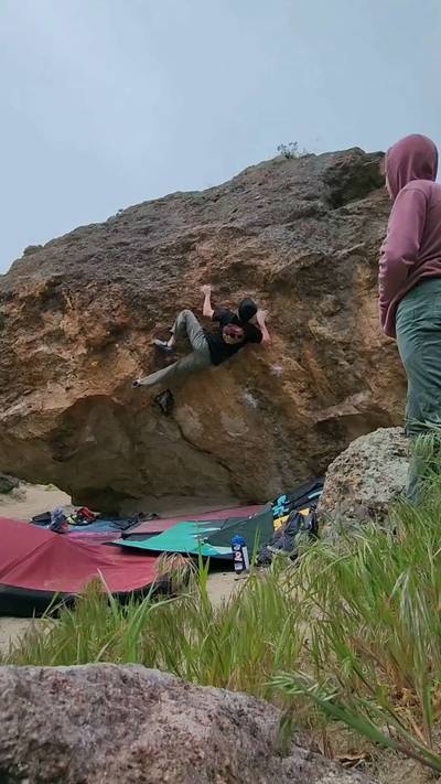
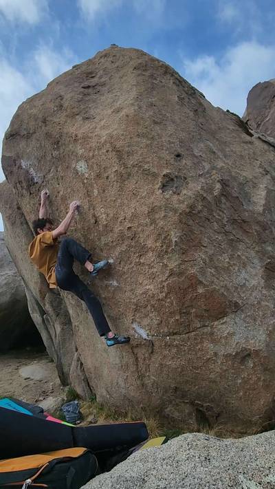
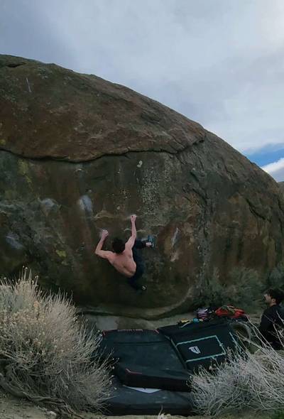
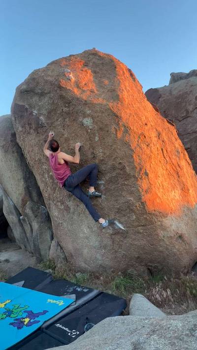
Reynolds Creek is one of Boise's top bouldering areas and for good reason. Generally good rock, a diversity of not only grades but styles as well. One side of the Upper Reynolds Creek Road is littered with granite boulders that tend toward the gritty and technical side. The other side of the road is filled with rhyolite boulders that tend toward steep faces, large holds, and gymnastic moves. Most people thrash their skin on the granite to start the day and finish on the rhyolite.

Bouldering History – Although the early climbing history in Reynolds remains a mystery,... Show more
This digital Reynolds Creek climbing guidebook gives you GPS navigation, verified topos, and beta for hundreds of climbs. Explore classics and hidden gems with offline access to maps, directions, and beta videos. Whether it's your first visit or fiftieth, KAYA makes your Reynolds Creek days smoother, safer, and more dialed. Reynolds Creek is one of Boise's top bouldering areas and for good reason. Generally good rock, a diversity of not only grades but styles as well. One side of the Upper Reynolds Creek Road is littered with granite boulders that tend toward the gritty and technical side. The other side of the road is filled with rhyolite boulders that tend toward steep faces, large holds, and gymnastic moves. Most people thrash their skin on the granite to start the day and finish on the rhyolite. Bouldering History – Although the early climbing history in Reynolds remains a mystery, Leeper hangers have been found on top of many boulders indicating people may have been climbing there as early as the 1960s or 70s! Regardless, modern bouldering began out there in the mid 90s when Chris Cahoon and Sean Birt began establishing a few problems near the main area. Shortly after Miguel Reynoso, Jordan Forrest and Mike McClure began systematically climbing everything within their realms. Jordan’s bold head lead to some early ascents of some of the most terrifying and futuristic, for the time, highballs such as Meat Grinder (without pads) and Rodents of Unusual Size. By 2002 Sus Edmundson, Jamey Srpoull, John Who and others began development of the Rhyolite side of the road establishing the majority of the climbs in the Boneyard area as well as many overlooked classics in the Climate/Season – Reynolds Creek is a true year-round climbing area. Obviously it can get hot in the summer, although a reliable afternoon breeze cools it down quickly. In fact some of the harder problems, Absolution and Ride the Lightning for example, were established during the summer months. Wintertime can be excellent as well since Reynolds is typically above the fog inversion that socks in the valley below. Allowing sunny skies and warmer temperatures than the valley. With that being said, prime season is typically March-May and September-November. To access Reynold’s Creek from Nampa head south on 12th Ave/Highway 45 for approximately 15 miles. The road will drop into the Snake River Canyon and cross the river. To access the Wilson Creek areas, veer right after crossing the river and make a right on Highway 78. Continue west for 3.2 miles to make a left on Wilson Creek Rd. After 2.5 miles veer right onto the dirt road to avoid driving into the feedlot. Another mile will get you too Wilson Creek Trails where individual area directions will start from. The roads in Wilson Creek are all dirt although generally passable in a 2WD with moderate clearance. Always use good judgment and just walk a bit further if the road seems muddy. Lower Reynolds (Peaches) and the Windy Point zones are accessed by veering left after crossing the Snake River to merge with Highway 78. After just under 1 mile make a right on Upper Reynolds Creek Rd. In about 1.5 miles the road will pass through a feedlot. The parking for the Peaches Boulder will be on a small hill overlooking a side canyon on your right after approximately 4.5 miles. The Windy Point area is reached at about 10 miles, follow individual zone directions for more details. Generally a 2WD with moderate clearance will access most areas at the Windy Point Boulders although some boulders like Absolution and Brain Teaser may require an additional 5-10 minutes walk depending on road conditions.

OFFLINE MAPS + APPROACH

Get the full experience in the app.
Download KAYA

Recent Ascents in Reynolds Creek

KAYA CLIMBER
CLIMB
DETAILS
DATE
CONOR SOUHRADA
@ConSou
Catalysis v10
Sick climb!
★ 5(v10, Solid)
5.21.2026
KEVIN BRADFORD
@Kevinist
Daft Punk v7
★ 3(v7, Solid)
4.26.2026
WEATHER
SEASON CHART
APPROACH
Forecast for Reynolds Creek
Powered by the Tomorrow.io Weather API

Areas in Reynolds Creek

Explore Reynolds Creek from all levels with KAYA PRO. Drill down to the area, subarea, boulder and climb levels. Get approach information for each, and a variety of beta.
Download KAYA