
Skillet Creek Climbing

Last Updated: Sep, 2026
1
Boulder
Guide moderated by Joel Ledvina
ABOUT Skillet Creek

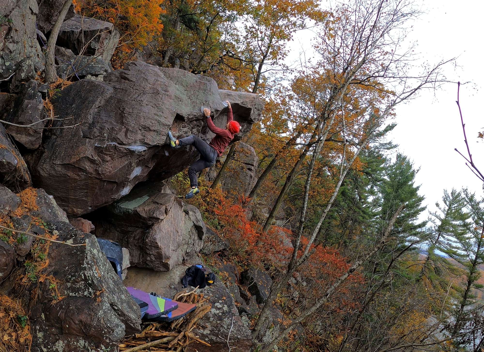
This digital Skillet Creek climbing guidebook gives you GPS navigation, verified topos, and beta for hundreds of climbs. Explore classics and hidden gems with offline access to maps, directions, and beta videos. Whether it's your first visit or fiftieth, KAYA makes your Skillet Creek days smoother, safer, and more dialed.

A remote crag in the northwest corner of the park propoerty. Rock west of Skillet Creek is on private land. Please stay within park boundaries.

Easiest access is to call Skillet Creek Campgrounds and ask to be allowed to park in their parking lot, then hike ~5-10 mins to the pin. Alternatively, park along south shore road and bushwhack through the forest for 20-30 mins, while being mindful of nearby private property. 
This digital Skillet Creek climbing guidebook gives you GPS navigation, verified topos, and beta for hundreds of climbs. Explore classics and hidden gems with offline access to maps, directions, and beta videos. Whether it's your first visit or fiftieth, KAYA makes your Skillet Creek days smoother, safer, and more dialed. A remote crag in the northwest corner of the park propoerty. Rock west of Skillet Creek is on private land. Please stay within park boundaries. Easiest access is to call Skillet Creek Campgrounds and ask to be allowed to park in their parking lot, then hike ~5-10 mins to the pin. Alternatively, park along south shore road and bushwhack through the forest for 20-30 mins, while being mindful of nearby private property.

OFFLINE MAPS + APPROACH

Get the full experience in the app.
Download KAYA
WEATHER
SEASON CHART
APPROACH
Forecast for Skillet Creek
Powered by the Tomorrow.io Weather API

Areas in Devil's Lake

Explore Devil's Lake from all levels with KAYA PRO. Drill down to the area, subarea, boulder and climb levels. Get approach information for each, and a variety of beta.
Download KAYA

