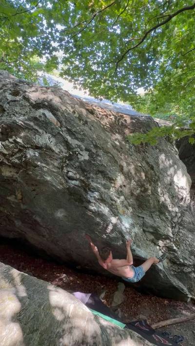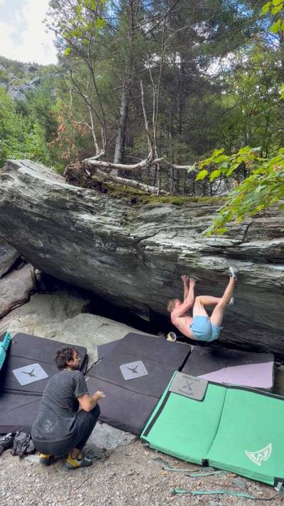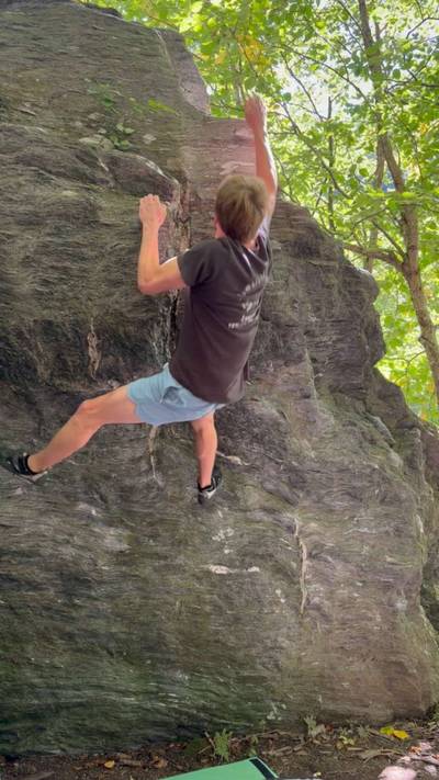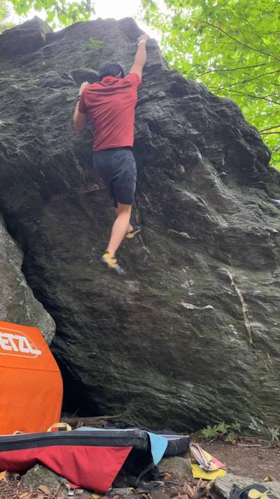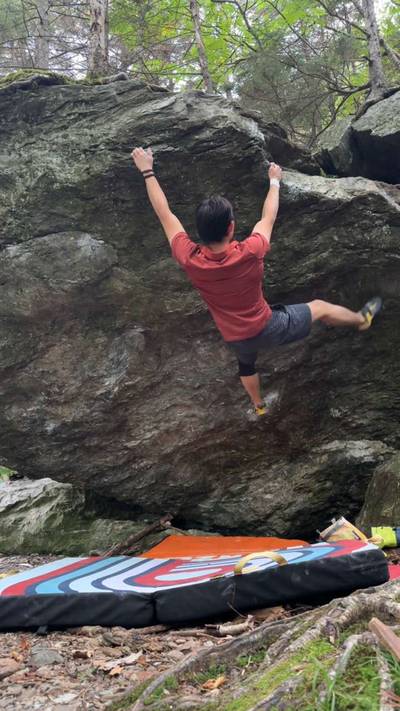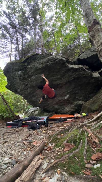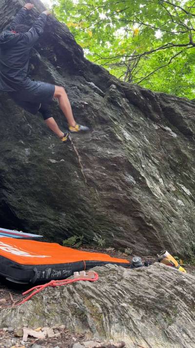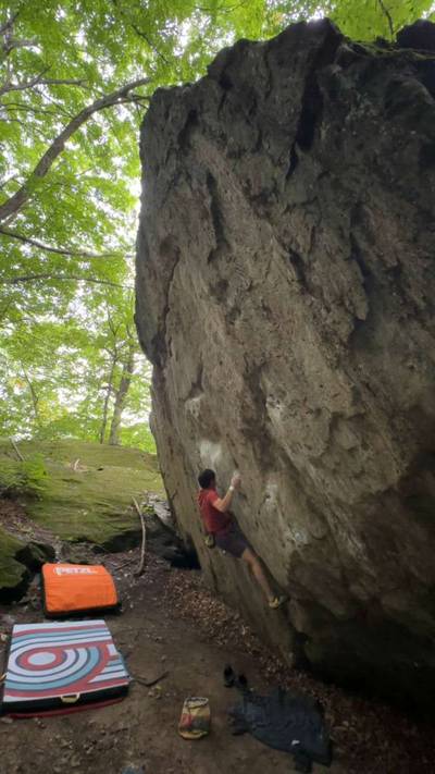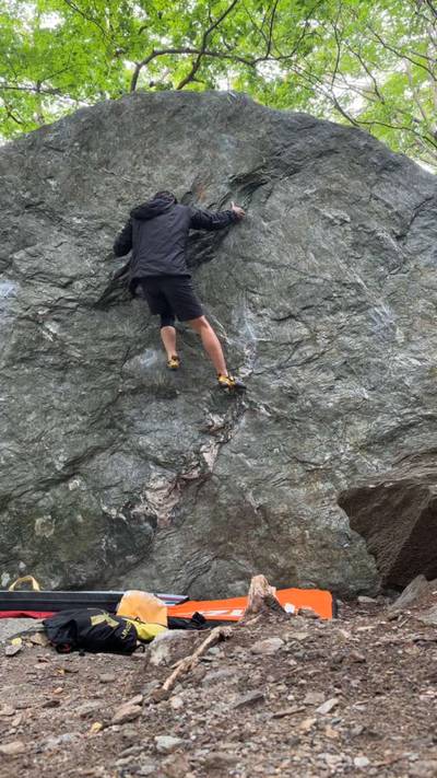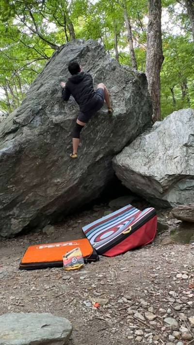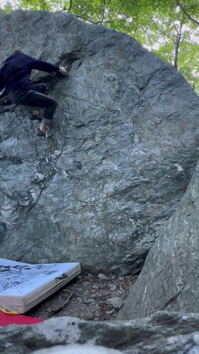
This digital Smugglers' Notch climbing guidebook gives you GPS navigation, verified topos, and beta for hundreds of climbs. Explore classics and hidden gems with offline access to maps, directions, and beta videos. Whether it's your first visit or fiftieth, KAYA makes your Smugglers' Notch days smoother, safer, and more dialed.
Tucked into a beautiful, forested, alpine valley, Smuggler's Notch is one of the best bouldering destinations in Northern New England. I would even go so far as to say it is one of the best summer bouldering destinations on the entire East coast. It sits right about 2100 feet of elevation and can be 10-15 degrees cooler than lower elevation areas. On warmer days Smuggs can be good in the morning and evening or in the Green Cave area which generally stays cooler. The rock dries extremely quick after rain, other than a few seepy boulders. You can arrive at Smuggs i... Show more
This digital Smugglers' Notch climbing guidebook gives you GPS navigation, verified topos, and beta for hundreds of climbs. Explore classics and hidden gems with offline access to maps, directions, and beta videos. Whether it's your first visit or fiftieth, KAYA makes your Smugglers' Notch days smoother, safer, and more dialed.
Tucked into a beautiful, forested, alpine valley, Smuggler's Notch is one of the best bouldering destinations in Northern New England. I would even go so far as to say it is one of the best summer bouldering destinations on the entire East coast. It sits right about 2100 feet of elevation and can be 10-15 degrees cooler than lower elevation areas. On warmer days Smuggs can be good in the morning and evening or in the Green Cave area which generally stays cooler. The rock dries extremely quick after rain, other than a few seepy boulders. You can arrive at Smuggs in pouring rain and have it be climbable just an hour or 2 later. This is particularly important because Smuggs has its own unique weather. Some days it can be pouring rain just a few miles down the road in Stowe, while its bone dry at the boulders in Smuggs. But unfortunately the opposite is also true and it can have its own personal rain cloud sitting just over the notch with the rest of the state mostly sunny. Additionally, watch out for humidity in the spring and fall, it can cause the boulders to become soaked with condensation in the morning. This doesn't happen nearly as often in the middle of summer. Even if it doesn't rain, they may be wet from this. This generally only affects the bottom half of boulders near the ground and generally affects overhangs and roofs the worst. If you get rained out of Smuggs check out the nearby board gym Burly Bloc about 30 minutes away from the boulders in Essex, VT. Right on the way to Burlington.
The Smuggs season lasts from about May to November coinciding with the status of route 108 that runs through the Notch. 108 is a seasonal road and the gates will close around the first snowfall where snow sticks to the roads in early November. I've seen it close as early as just before Halloween, and seen it stay open as late as just before Thanksgiving. The gate generally opens around the first week of May but may open in April following a mild winter or later in May if there was significant snowfall in the late winter/early spring. Fret not, however, because the climbing is still accessible, depending on snow/ice at least. Whenever 108 is closed you can park in parking lots at either of the gates and hike in. The hike is significantly quicker and easier from the North side. While Smuggs is an excellent summer option, its best climbed in late April, May, October, and early November when temps are low and friction is high.
There are 3 main parking lots in the main areas and 2 parking lots for the Stowe-side satellite areas. At the main area the main parking lot is the one with the outhouse and info hut. It is gravel and not paved. The top of the notch parking lot is found on the opposite side of the road just south of the main lot and is paved. The 3rd lot is brand new and can be found on the South/Stowe side just below the King boulder and across from the Landslide area. There are also some spots to park up the north side of the road around and just past the outhouse. Approach times vary depending on where you park with the farthest being going from the new King boulder lot to the main lot areas, this should still only take 5-10 minutes walk.
Local Ethics:
The park is focusing on allowing some eroded areas to regrow. Most of these are along the sides of the road and parking lots. If you find sticks, branches, or logs crossed over what looks like a trail do not walk that way, they are left there as a barrier. Stick to trails or the side of the road to get around. There is a trail to nearly every single boulder in this guide. There are also some new signs pointing these areas out. Also please make sure that if you need to park along the side of the road that you keep your tires away from any plant life.
History:
Smuggler's Notch gets its name from its historical use as a smuggling route between Canada and the US. During these times smuggled goods were hidden in the various caves and crevices formed by the boulders that fell off the main wall above. Some of these caves even have ice nearly year round allowing them to preserve some goods in the summer months.
Smuggler's Notch is actually one of the oldest developed climbing areas in all of the Northeast. After the ski resorts were built and subsequent road infrastructure was built in the 1960s, accessing the notch became much easier and climbing development accelerated. The famous German climber Fritz Weissner even had a hand in development of Smuggs climbing after he moved to Stowe in 1952.
Most of the bouldering we know and love in Smuggs today was developed by Bill Patton and his crew consisting of people like Marc Troob, Benny Harlow, Kyle, John Tomes, and Marlon Campos in the 90s and early 00s. During this era even the famous John 'The Vermin' Sherman climbed at Smuggs.
A new wave of development has also been seen in the 2010s and 20s by Brad Fauteux, Troy Fauteux, and Jake Perry.
Access:
There are no real access issues. Some park rangers have an issue with night climbing but not all of them. If they find you climbing at night and ask you to leave please respect that. They may also just tell you that you can climb as long as you want as long as you aren't planning on camping overnight there.
From the south get on interstate 89 North til exit 10 Waterbury. Take a right onto route 100 off the interstate and drive til route 108 in Stowe. Take a left onto 108 and continue until you reach any of the various parking areas in the Notch. You will find them just after the Stowe ski resort. You can also take a shorter route by turning left on Moscow Rd before you reach Stowe. From Moscow Rd continue for a couple miles til you reach Barrows Rd. Turn right onto Barrows Rd and continue til the end of the road. At the end, turn right on Luce Hill Rd and continue til the end of this where it connects with 108. Take a left onto 108 through a funky intersection, watch out for cars on 108 turning left onto Luce Hill road!
From Burlington take 89 South to Waterbury and use those directions. Alternatively you can take exit 11 in Richmond. Take a left off the interstate onto route 2 then immediately take a right onto route 117 at the intersection. Take the very first immediate right off 117 onto Governor Peck Highway. Drive til the end and then take a left onto Browns Terrace. Proceed through Jericho Center and past the high school til you reach route 15. Take route 15 til Jeffersonville where you will see a Mobil gas station. Turn right here onto Church St. At an intersection soon after go straight onto Mill St which is route 108. Take this all the way up the mountain to the parking areas.
From the north if coming directly down from Canada you can cross the border in Frelighsburg which will put you on 108 and take you directly there.
From the north but coming from 89 get off exit 18 in Georgia and turn left onto route 7. Just past the mobil gas station turn left onto Highbridge Rd route 104A. Continue on 104A til the end and then turn right on Main St route 104. Continue for a while on 104 until it meets up with route 15. From here you can follow the directions found in the 'From Burlington' section.
Did the move static a handful of times but could not move my feet without both of them plus my right hand picking simultaneously, resulting in deathly mega helicopter. Double clutch for the W
This is probably a much more enjoyable line for the long
★ 1(v3, Solid)
8.13.2026
Showing results: 1 - 5
WEATHER
SEASON CHART
APPROACH
Forecast for Smugglers' Notch
Areas in Smugglers' Notch
Explore Smugglers' Notch from all levels with KAYA PRO. Drill down to the area, subarea, boulder and climb levels. Get approach information for each, and a variety of beta.