Ginger Goodwin Creek is located on private forestry land controlled by Mosaic Forest Mangement. The logging roads are gate controlled. Generally, Comox Logging Rd. is open on weekends only with additional days on long weekends. The gates are subject to closure due to weather, safety and operational requirements. To ensure getting to/from the boulders and to obtain details on access please visit: www.mosaicforests.com/access
ABOUT Ginger Goodwin Creek
This digital Ginger Goodwin Creek climbing guidebook gives you GPS navigation, verified topos, and beta for hundreds of climbs. Explore classics and hidden gems with offline access to maps, directions, and beta videos. Whether it's your first visit or fiftieth, KAYA makes your Ginger Goodwin Creek days smoother, safer, and more dialed.

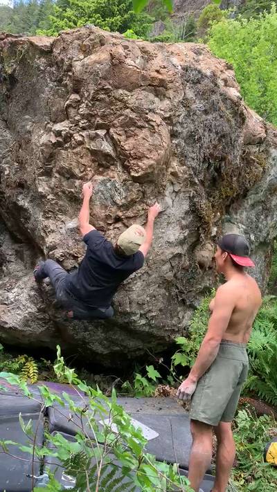
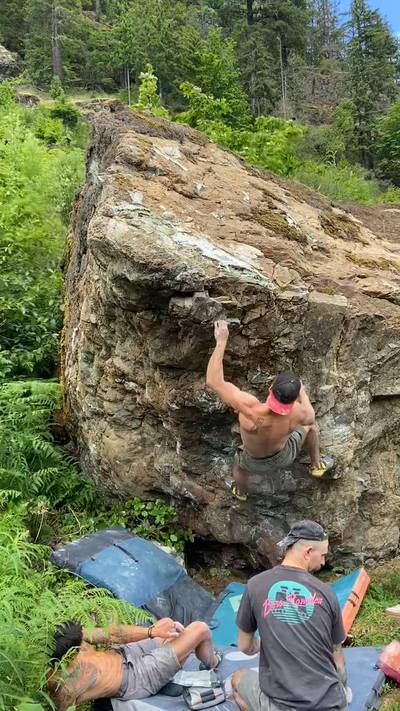
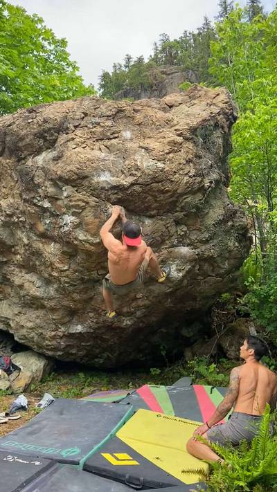
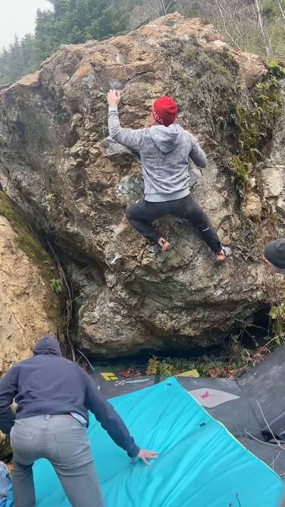
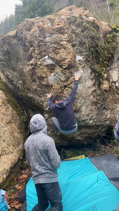
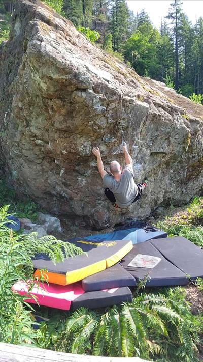
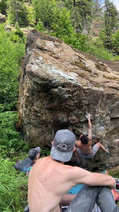
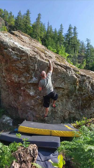
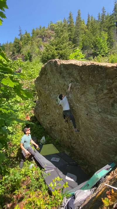
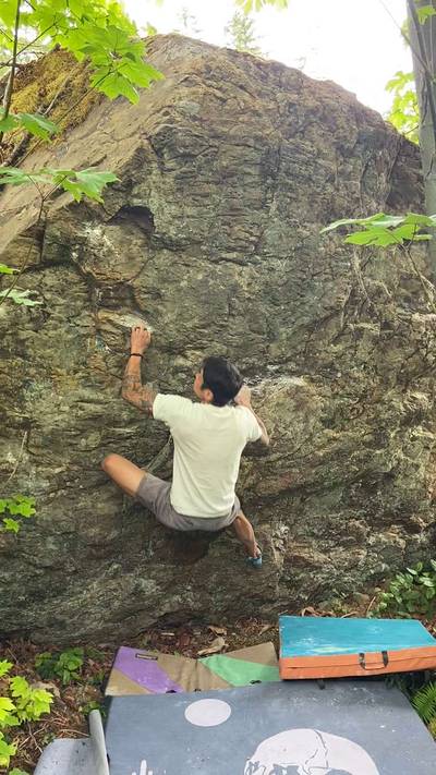
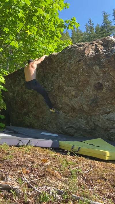
The Ginger Goodwin Creek Boulders are located on the west side of Comox lake. Approached via a well maintained logging road, located on an exposed south facing slope, and with a very short walk from your car, these boulders are a great shoulder season, or even winter climbing option. This area was originally found and developed by Justin Harris in 2024 and has seen intermittent additions to the area over the past two years.

From Comox Valley Pkwy/Cumberland Rd: Head into Cumberland. Turn right onto Bevan Rd. Follow Bevan Rd. for 5.6 kms. Turn left onto C... Show more
This digital Ginger Goodwin Creek climbing guidebook gives you GPS navigation, verified topos, and beta for hundreds of climbs. Explore classics and hidden gems with offline access to maps, directions, and beta videos. Whether it's your first visit or fiftieth, KAYA makes your Ginger Goodwin Creek days smoother, safer, and more dialed.
The Ginger Goodwin Creek Boulders are located on the west side of Comox lake. Approached via a well maintained logging road, located on an exposed south facing slope, and with a very short walk from your car, these boulders are a great shoulder season, or even winter climbing option. This area was originally found and developed by Justin Harris in 2024 and has seen intermittent additions to the area over the past two years.
From Comox Valley Pkwy/Cumberland Rd: Head into Cumberland. Turn right onto Bevan Rd. Follow Bevan Rd. for 5.6 kms. Turn left onto Comox Logging Rd. You will pass the Comox Dam Recreation Area, a very popular swimming and beach spot. Follow Comox Logging Rd. for approximately 14 kms.
From Courtenay: Locate Lake Trail Road and head west, depending where you get onto Lake Trail, it will be approximately 4.5 km to the intersection of Comox Lake Rd./Comox Logging Rd. Follow Comox Logging Rd for approximately 16kms. Access to Ginger Goodwin Creek is controlled by Mosaic Forest Management. This bouldering area lies past a locked gate and can only be accessed during permitted hours. Please visit www.mosaicforests.com/access for the most up-to-date schedule and gate closures.
Explore Comox Lake from all levels with KAYA PRO. Drill down to the area, subarea, boulder and climb levels. Get approach information for each, and a variety of beta.