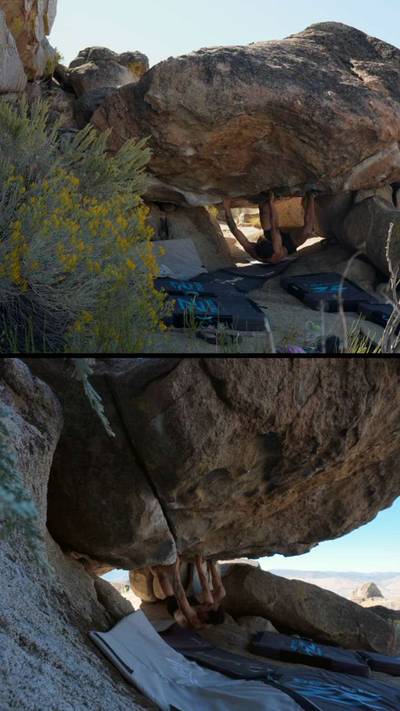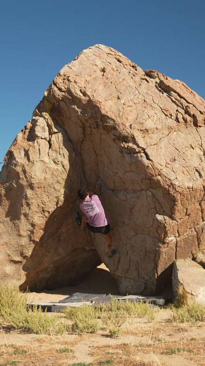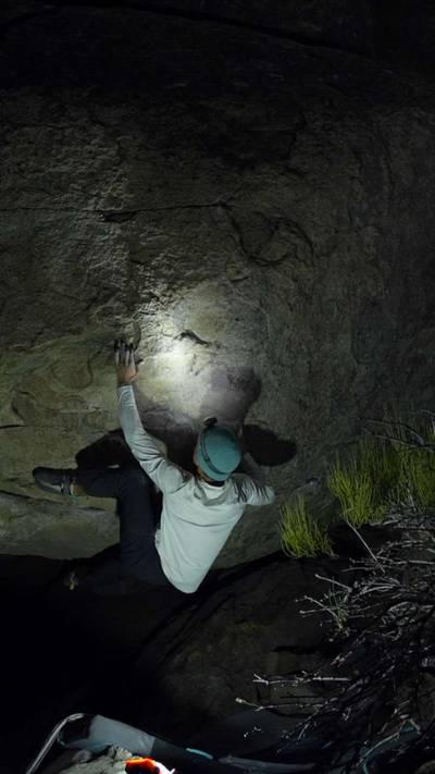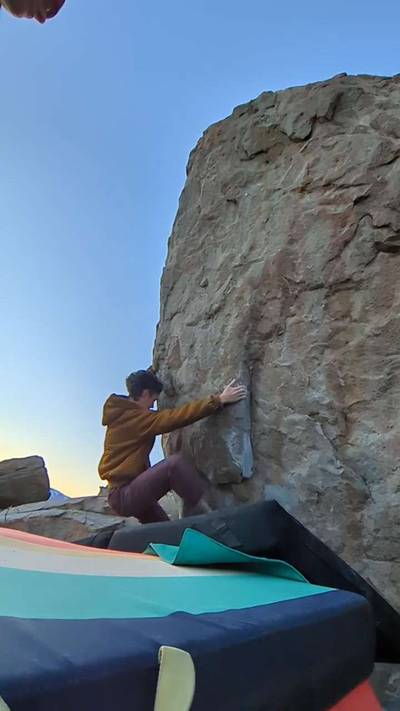
This digital Doyle climbing guidebook gives you GPS navigation, verified topos, and beta for hundreds of climbs. Explore classics and hidden gems with offline access to maps, directions, and beta videos. Whether it's your first visit or fiftieth, KAYA makes your Doyle days smoother, safer, and more dialed.
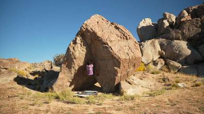
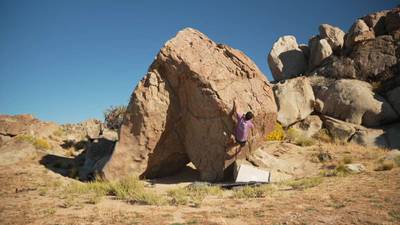
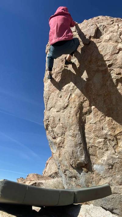
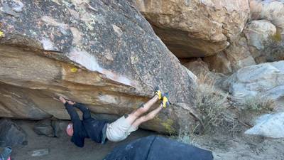
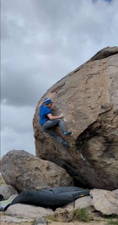
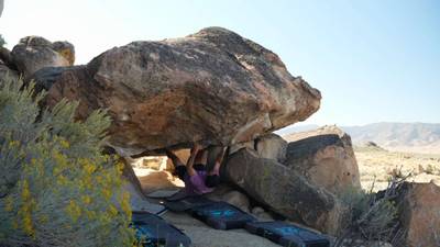
Are you looking for an alternative to the East Side when Tahoe is snowed in during winter? Located just 1 hour north of Reno, Doyle is a great change of pace and much closer than the Buttermilks or the Happy Boulders. Doyle kinda has a Joshua Tree look and feel to it. The rock is similar and the high desert setting is reminiscent of J-Tree as well. Doyle is divided into two main zones: the West Face Area and Fort Sage Mountain. The West Face Area tends to be more highball while Fort Sage is a little more friendly in that respect.
I really enjoy this spot; it holds a massive number of... Show more
This digital Doyle climbing guidebook gives you GPS navigation, verified topos, and beta for hundreds of climbs. Explore classics and hidden gems with offline access to maps, directions, and beta videos. Whether it's your first visit or fiftieth, KAYA makes your Doyle days smoother, safer, and more dialed.
Are you looking for an alternative to the East Side when Tahoe is snowed in during winter? Located just 1 hour north of Reno, Doyle is a great change of pace and much closer than the Buttermilks or the Happy Boulders. Doyle kinda has a Joshua Tree look and feel to it. The rock is similar and the high desert setting is reminiscent of J-Tree as well. Doyle is divided into two main zones: the West Face Area and Fort Sage Mountain. The West Face Area tends to be more highball while Fort Sage is a little more friendly in that respect.
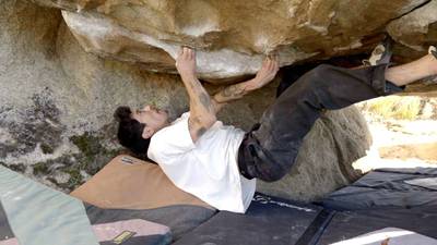
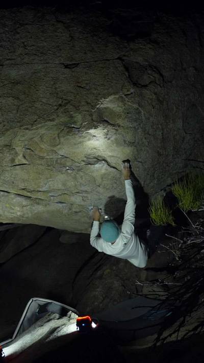
I really enjoy this spot; it holds a massive number of boulders with a wide variety of styles. Unknown to most climbers, this area has not seen much traffic. Hopefully with the publication of this guidebook Doyle will get the attention it deserves. It has become my favorite winter spot and is an easy hit for a day trip from Tahoe, especially if you live in Truckee or better yet Reno. Doyle is wide open desert and there are many primitive camping spots around if you decide to make a multi-day trip.
The area is in a bit of a rain shadow and when it’s raining and snowing in Tahoe it can be climbable at Doyle. But the conditions are best when high pressure moves in, and the weather is solid. At those times you will find cool, crisp temps, great friction and no snow on the ground. Be aware that when the really big storms hit and Reno gets standing snow Doyle is not good. General rule of thumb is if Reno is warm and snow free so is Doyle.
DRIVING: From Reno drive north on Hwy 395 for 42 miles and turn right on Doyle Loop Road. The turn for Doyle Loop Road is at the end of a long sweeping corner, just after a bridge that crosses the train tracks. It’s not well marked and easy to miss. After turning right on Doyle Loop Road, go for 0.5 miles and turn right on Hackstaff Road. Continue for 0.8 miles until the pavement ends. Just past where the pavement ends is where you can turn right to The West Face Area or go straight to Fort Sage Mountains.
To Approach The West Face Area take the immediate right turn just past where the pavement ends and reset your odometer here. Drive for 4.2 miles on a semi rough dirt road passing many left turns along the way, some of which lead to smaller satellite areas. At 4.2 miles turn left up a steep canyon passing two old run down trailer/houses at the junction. From the junction go 1.1 miles and park in a pullout on the left below the obvious boulder cluster on you right, which is the Cow Skull Boulders. A passenger car can just barely make it here if you’re careful and this is a good place to start and get to know Doyle, especially if you don’t have 4wd. The road continues from here up a very steep road to many of Doyle’s finest boulders and a 4wd is pretty much mandatory.
To Approach Fort Sage Mountain take Hackstaff Road until the pavement ends and reset your odometer. Continue straight for 1.2 miles and turn right on Fort Sage Road. Continue for 1.0 miles and you will see a right hand turn which is the south entrance to a road that forms a developed so far are located along this roughly 6 mile loop. It’s a little confusing from here because some of the boulders are better approached by entering on the south side of the loop and some from the north. To me, entering the loop from the north gets you to the more obvious clusters quicker, so I will begin the Fort Sage Mountain section as if you are coming into the loop from the north. To get to the north entrance of the loop continue past the south entrance for 2.3 miles and go right into the loop road. Go for 0.9 miles, turn right at the fork, continue for 0.1 miles and park on either side of the road in a few small pullouts. The Rocky Ridge boulders will be visible on the hill to your left. The loop continues from here to the rest of the areas and you will find beta for the approaches in the Fort Sage Mountain section.
Explore Doyle from all levels with KAYA PRO. Drill down to the area, subarea, boulder and climb levels. Get approach information for each, and a variety of beta.