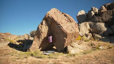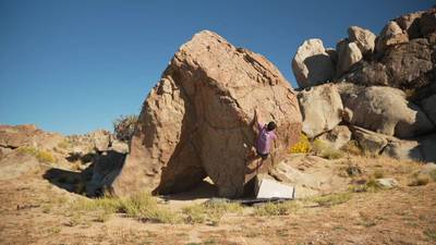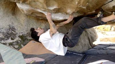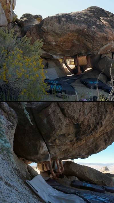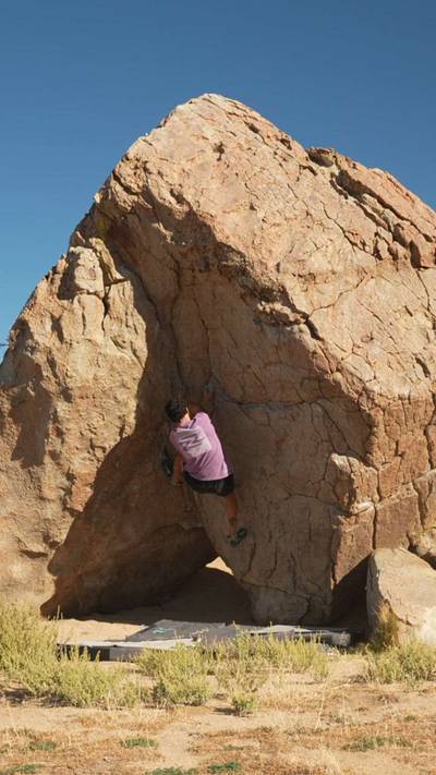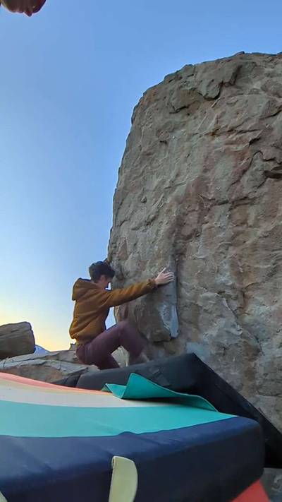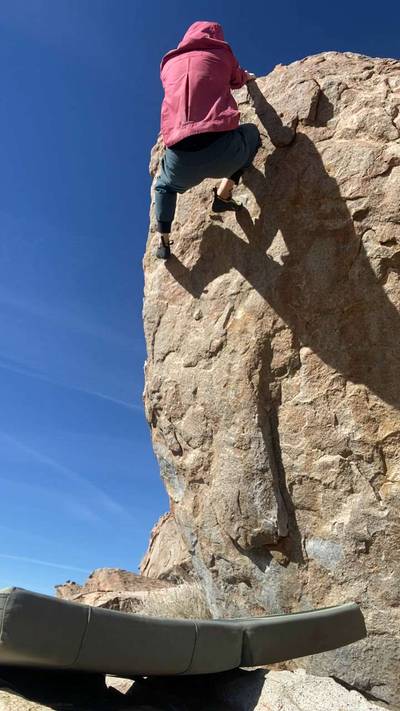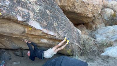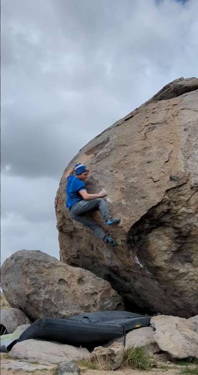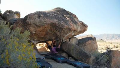
This digital Fort Sage Mountains climbing guidebook gives you GPS navigation, verified topos, and beta for hundreds of climbs. Explore classics and hidden gems with offline access to maps, directions, and beta videos. Whether it's your first visit or fiftieth, KAYA makes your Fort Sage Mountains days smoother, safer, and more dialed.
To Approach Fort Sage Mountain take Hackstaff Road until the pavement ends and reset your odometer. Continue straight for 1.2 miles and turn right on Fort Sage Road. Continue for 1.0 miles and you will see a right hand turn which is the south entrance to a road that forms a big loop that feeds back out a little further down Fort Sage Road. Most of the boulders developed so far are located along this roughly 6 mile loop. It’s a little confusing from here because some of the boulders are better approached by entering on the south side of the loop and some f... Show more
This digital Fort Sage Mountains climbing guidebook gives you GPS navigation, verified topos, and beta for hundreds of climbs. Explore classics and hidden gems with offline access to maps, directions, and beta videos. Whether it's your first visit or fiftieth, KAYA makes your Fort Sage Mountains days smoother, safer, and more dialed.
To Approach Fort Sage Mountain take Hackstaff Road until the pavement ends and reset your odometer. Continue straight for 1.2 miles and turn right on Fort Sage Road. Continue for 1.0 miles and you will see a right hand turn which is the south entrance to a road that forms a big loop that feeds back out a little further down Fort Sage Road. Most of the boulders developed so far are located along this roughly 6 mile loop. It’s a little confusing from here because some of the boulders are better approached by entering on the south side of the loop and some from the north. To me, entering the loop from the north gets you to the more obvious clusters quicker, so I will begin the Fort Sage Mountain section as if you are coming into the loop from the north. To get to the north entrance of the loop continue past the south entrance for 2.3 miles and go right into the loop road. Go for 0.9 miles, turn right at the fork, continue for 0.1 miles and park on either side of the road in a few small pullouts. The Rocky Ridge boulders will be visible on the hill to your left.
Explore Doyle from all levels with KAYA PRO. Drill down to the area, subarea, boulder and climb levels. Get approach information for each, and a variety of beta.