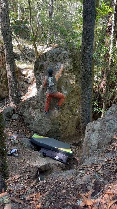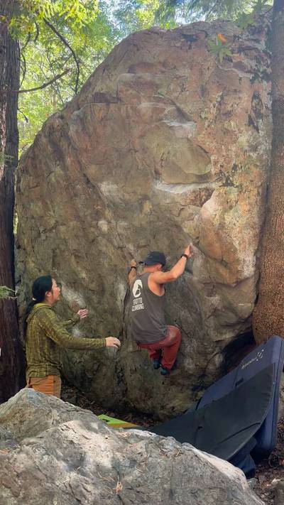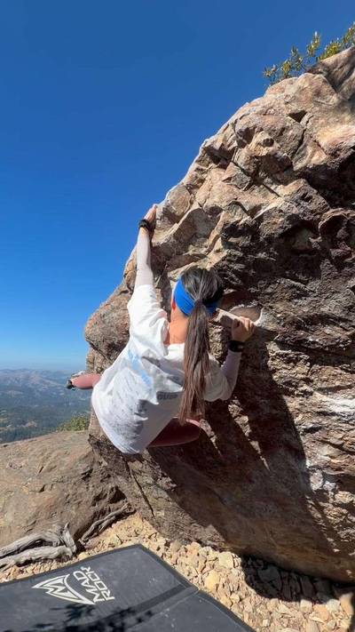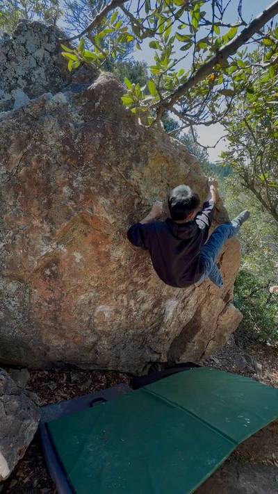
This digital Mt. Tamalpais climbing guidebook gives you GPS navigation, verified topos, and beta for hundreds of climbs. Explore classics and hidden gems with offline access to maps, directions, and beta videos. Whether it's your first visit or fiftieth, KAYA makes your Mt. Tamalpais days smoother, safer, and more dialed.
Overview: Mountains are a place of transcendence. Moses spoke with God on Mount Sinai, and Mohammad received his first revelation in the Cave of Hira. When ancient Greeks wanted to hear the enigmatic prediction of the Oracle at Delphi, they would naturally have to walk uphill. You don't have to believe these stories to believe in the symbolism of ascendance that inspired them.
Mount Tamalpais is not that type of mountain. It doesn't take itself so seriously. One hundred years ago, this was the home of “The Crookedest Railroad in the World,” and later, modern mountain ... Show more
This digital Mt. Tamalpais climbing guidebook gives you GPS navigation, verified topos, and beta for hundreds of climbs. Explore classics and hidden gems with offline access to maps, directions, and beta videos. Whether it's your first visit or fiftieth, KAYA makes your Mt. Tamalpais days smoother, safer, and more dialed.
Overview: Mountains are a place of transcendence. Moses spoke with God on Mount Sinai, and Mohammad received his first revelation in the Cave of Hira. When ancient Greeks wanted to hear the enigmatic prediction of the Oracle at Delphi, they would naturally have to walk uphill. You don't have to believe these stories to believe in the symbolism of ascendance that inspired them.
Mount Tamalpais is not that type of mountain. It doesn't take itself so seriously. One hundred years ago, this was the home of “The Crookedest Railroad in the World,” and later, modern mountain biking was developed on the surrounding hills. In the words of the philosopher Alan Watts, who spent his final night in a cabin on the mountainside, “man suffers only because he takes seriously what the Gods made for fun.”
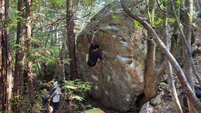
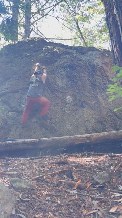
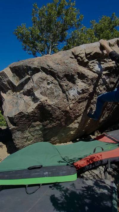
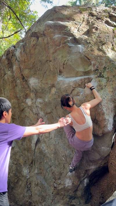
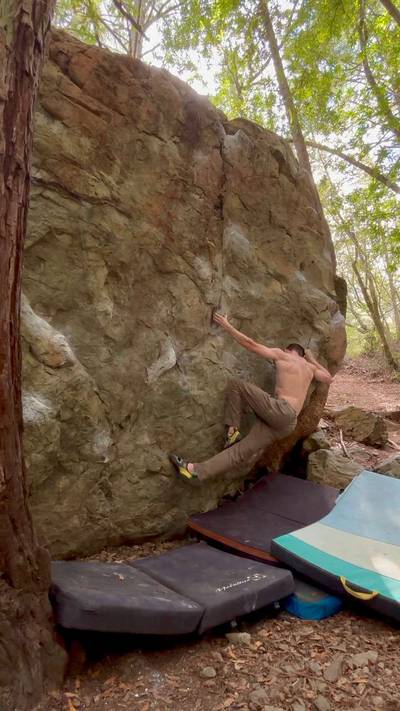
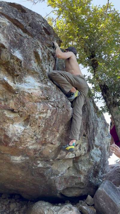
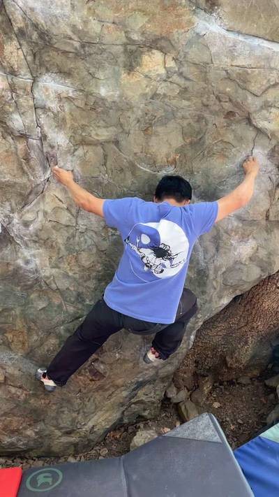
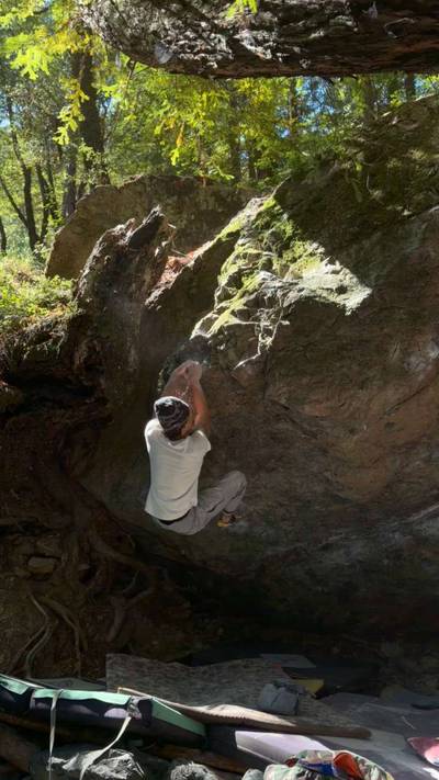
There are volcanic boulders spread throughout the oak and redwood forest that covers the sides of Mount Tamalpais. If this sounds transcendent, that’s because it is... in its own way. The rock, it could be harder and less likely to break. Yet the views of the Bay are stunning, and if you can find joy in climbing such humble stone, you have tapped into the same force that compels people to wander upwards, to the mountains, in search of meaning.
Conditions: Like most areas in the Bay, the spring and fall have the best conditions. The climbing can be enjoyable even in the heat of summer, although you’ll undoubtedly be greasing off your project. Some of the lower boulders are in a creek bed, and water swallows the landings when the creek swells up in the winter or after heavy rain.
Rules: The park is open from 7:00am to sunset. Dogs aren’t allowed on trails, even if on a leash.
Bathrooms: There are bathrooms at Bootjack Campground, the Rock Springs Trailhead, and the summit of Mount Tamalpais.
Land Manager: Mount Tamalpais State Park
Approach: No approach is longer than 10 minutes, and some can be quite steep. Since the areas are spread out, see specific directions in the following pages.
Accessibility: The Lower Boulders and the Bay View Boulders are the most accessible, requiring no more than a 50 foot approach from the road along slippery single track trails.
Parking: Different parking pullouts are spread out along Panoramic Highway and Ridgecrest Blvd. From US 101, take exit 445B/CA-1 toward Stinson Beach. Head west for 0.6 miles, then turn left to stay on CA-1 when it meets up with Almonte Blvd. Continue for 2.7 miles, then trend right onto Panoramic Highway. After 4.3 miles you will arrive at the hairpin turn of the Ravine Boulders (the lowest climbing on the mountain), and after 5.2 miles you will reach the intersection for Pantoll Rd. Turn right here and continue for 1.4 miles until the road intersects with Ridgecrest Blvd. at the Rock Springs Trailhead. The rest of the bouldering is up the mountain to the east, so follow the specific directions for each area.
Explore Mt. Tamalpais from all levels with KAYA PRO. Drill down to the area, subarea, boulder and climb levels. Get approach information for each, and a variety of beta.