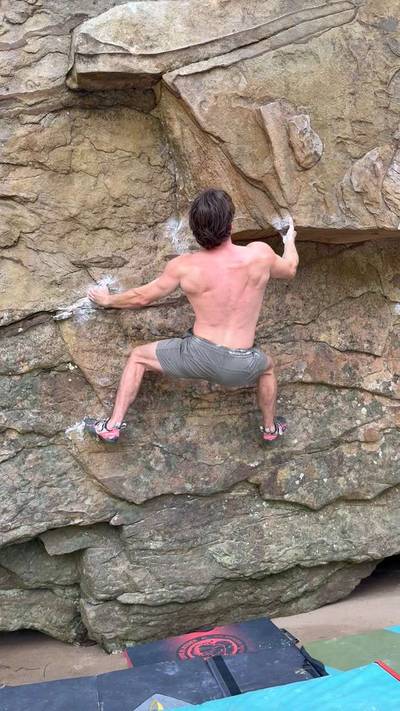
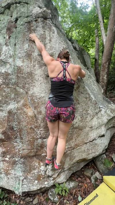
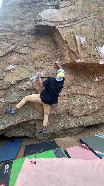
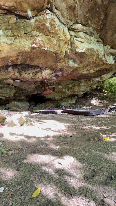
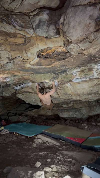
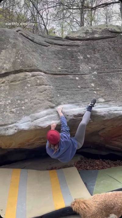
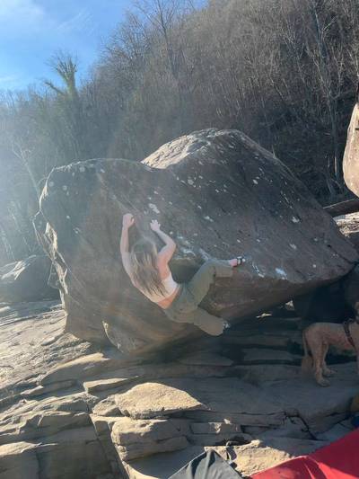
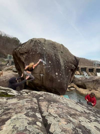
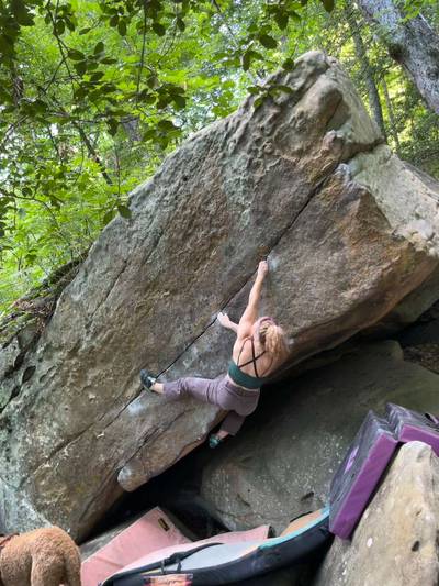
This digital The Dries climbing guidebook gives you GPS navigation, verified topos, and beta for hundreds of climbs. Explore classics and hidden gems with offline access to maps, directions, and beta videos. Whether it's your first visit or fiftieth, KAYA makes your The Dries days smoother, safer, and more dialed.

Downstream of Hawk's Nest Dam, the majority of the water is tunneled through Gauley Mountian and doesn't rejoin the riverbed for the next 6 miles, leaving a bizarre landscape with much of the riverbed boulders exposed. Cotton Top and Cotton Bottom sit far enough up the slope of the gorge not to be affected by water level, but the rest of the areas require low water to climb there. Minimum flow is about 4.5ft, and if the water level is above 8ft it's probably not worth going to a riverbed area. https://waterdata.usgs.gov/monitoring-location/380649081083301/#parameterCode=00065&... Show more
This digital The Dries climbing guidebook gives you GPS navigation, verified topos, and beta for hundreds of climbs. Explore classics and hidden gems with offline access to maps, directions, and beta videos. Whether it's your first visit or fiftieth, KAYA makes your The Dries days smoother, safer, and more dialed.
Downstream of Hawk's Nest Dam, the majority of the water is tunneled through Gauley Mountian and doesn't rejoin the riverbed for the next 6 miles, leaving a bizarre landscape with much of the riverbed boulders exposed. Cotton Top and Cotton Bottom sit far enough up the slope of the gorge not to be affected by water level, but the rest of the areas require low water to climb there. Minimum flow is about 4.5ft, and if the water level is above 8ft it's probably not worth going to a riverbed area. https://waterdata.usgs.gov/monitoring-location/380649081083301/#parameterCode=00065&period=P7D
To get to any area in The Dries, from Fayetteville, drive north on WV-16, heading straight through the intersection with US-19. Drive about 7mi to the bridge over the New River. This is The Dries and most subareas park near here. CSX Right is further down the road.
Explore New River Gorge from all levels with KAYA PRO. Drill down to the area, subarea, boulder and climb levels. Get approach information for each, and a variety of beta.