This digital Wisconsin climbing guidebook gives you GPS navigation, verified topos, and beta for hundreds of climbs. Explore classics and hidden gems with offline access to maps, directions, and beta videos. Whether it's your first visit or fiftieth, KAYA makes your Wisconsin days smoother, safer, and more dialed.

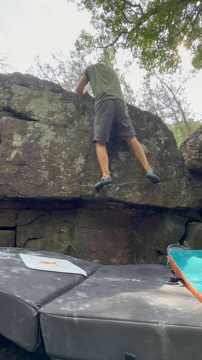
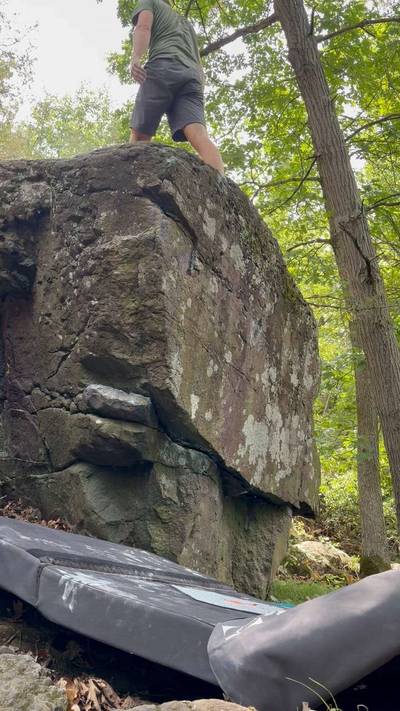
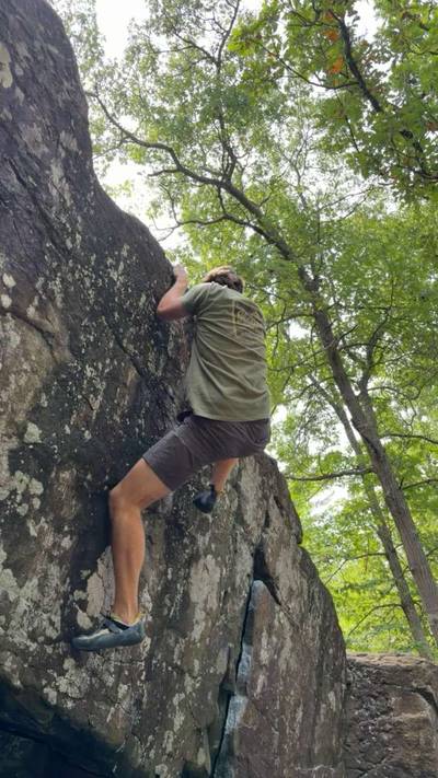
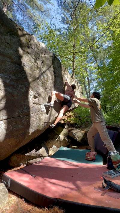
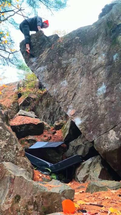
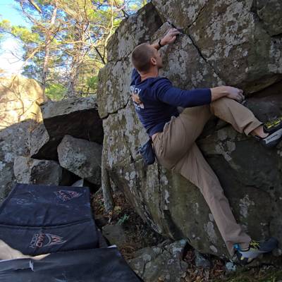
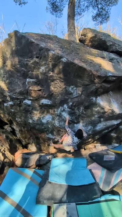
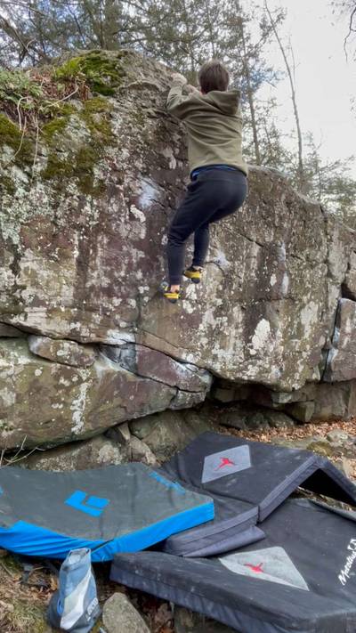
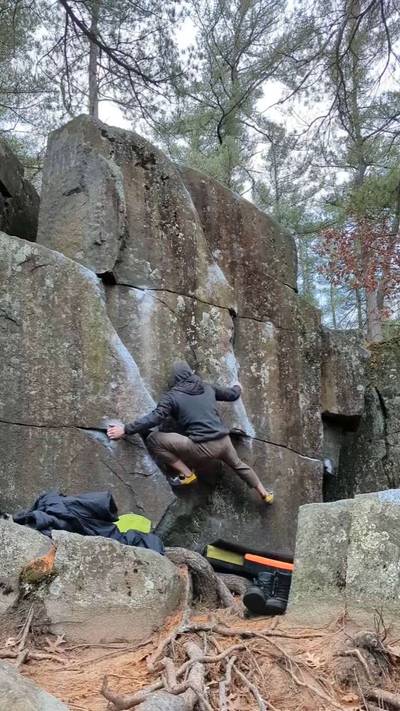
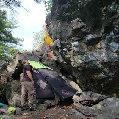
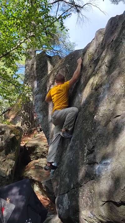
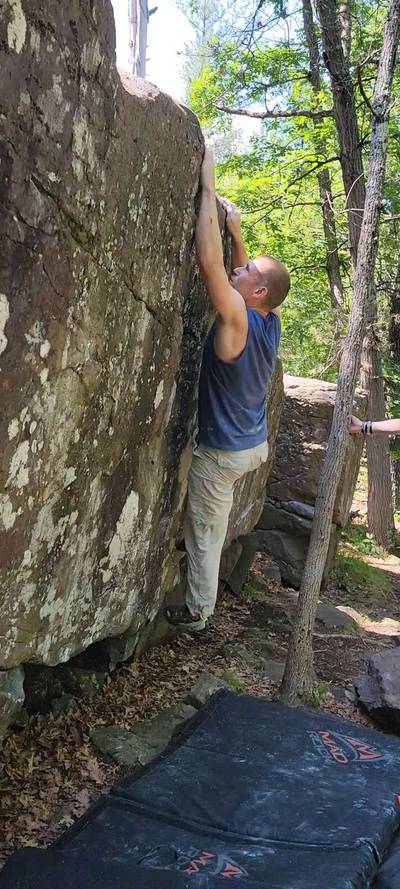
The Wisconsin side is a quiet respite from the gawking and awkward questions of the tourist-dense Minnesota side. A chance to boulder in the quiet solitude of the woods. Step off the beaten path to sample some of the other areas besides the Cave Boulder and Mike’s Boulder.

Swimming in the river is not allowed by either Interstate Park—Minnesota or Wisconsin—and as such, deep water soloing is not OK. Climbing over water filled potholes is no longer allowed, unless it is frozen over. Climbing on or near a road is OK but please make sure not to have any of your crashpads, gear, ... Show more
This digital Wisconsin climbing guidebook gives you GPS navigation, verified topos, and beta for hundreds of climbs. Explore classics and hidden gems with offline access to maps, directions, and beta videos. Whether it's your first visit or fiftieth, KAYA makes your Wisconsin days smoother, safer, and more dialed.
The Wisconsin side is a quiet respite from the gawking and awkward questions of the tourist-dense Minnesota side. A chance to boulder in the quiet solitude of the woods. Step off the beaten path to sample some of the other areas besides the Cave Boulder and Mike’s Boulder.
Swimming in the river is not allowed by either Interstate Park—Minnesota or Wisconsin—and as such, deep water soloing is not OK. Climbing over water filled potholes is no longer allowed, unless it is frozen over. Climbing on or near a road is OK but please make sure not to have any of your crashpads, gear, or spotters on the road while climbing. You can be ticketed for blocking traffic. Tourists are ever present at Taylors Falls and many of the other bouldering areas. You will be a representative of the sport—like it or not—so please be kind and respectful of the space. Crashpads should be kept off walking paths and out of the way of daily park users and hikers.
Pets are welcome in Minnesota state parks, as long as they are kept on a leash six feet or shorter and are personally attended at all times. Please do not tie pets up along pathways and leave unattended while you climb. Use caution with pets near the St. Croix River when water levels are high and fast.
Both areas can be accessed from the main parking. From the Twin Cities: Take interstate 35 north to Forest Lake. Take the Hwy 8 exit. No need to worry about which direction on Hwy 8, it only goes east from the interstate. Hwy 8 will take you all the way to the town of Taylors Falls. Continue straight at the stoplight across the river, and exit onto Hwy 35, turning right (south). The entrance will be a half mile down and on the right side of the road. It is possible, and enjoyable, to walk from state to state via the Hwy 8 bridge.
Explore Taylors Falls from all levels with KAYA PRO. Drill down to the area, subarea, boulder and climb levels. Get approach information for each, and a variety of beta.