Bunker Creek Climbing

Last Updated: Aug, 2026
121
Boulders
Guide moderated by Casey Webb & Colten Pendleton

ABOUT Bunker Creek

This digital Bunker Creek climbing guidebook gives you GPS navigation, verified topos, and beta for hundreds of climbs. Explore classics and hidden gems with offline access to maps, directions, and beta videos. Whether it's your first visit or fiftieth, KAYA makes your Bunker Creek days smoother, safer, and more dialed.

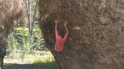
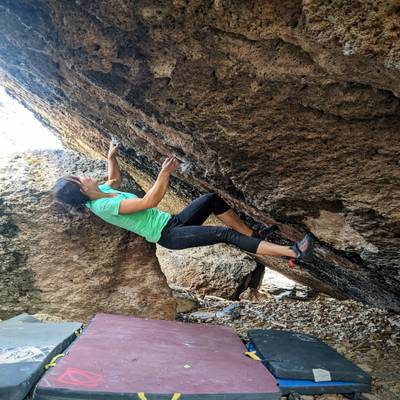
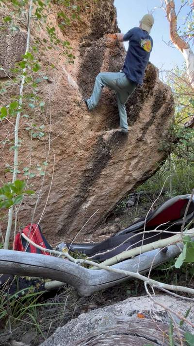
Nestled in the high plateau region near Panguitch Lake, Bunker Creek can offer respite from warmer conditions found in southern Utah. Located at 9,000 feet above sea level in the mountains east of Cedar City, Bunker Creek offers a quiet escape from the heat during the warmer months. There are several zones that are spread out along the Bunker Creek Road which can be accessed with moderate ground clearance. The highest concentrations of problems can be found at the Meadows (5 min approach) or Springfield (30 min approach) zones. Other smaller zones still host a handful of... Show more
This digital Bunker Creek climbing guidebook gives you GPS navigation, verified topos, and beta for hundreds of climbs. Explore classics and hidden gems with offline access to maps, directions, and beta videos. Whether it's your first visit or fiftieth, KAYA makes your Bunker Creek days smoother, safer, and more dialed. Nestled in the high plateau region near Panguitch Lake, Bunker Creek can offer respite from warmer conditions found in southern Utah. Located at 9,000 feet above sea level in the mountains east of Cedar City, Bunker Creek offers a quiet escape from the heat during the warmer months. There are several zones that are spread out along the Bunker Creek Road which can be accessed with moderate ground clearance. The highest concentrations of problems can be found at the Meadows (5 min approach) or Springfield (30 min approach) zones. Other smaller zones still host a handful of classics worth visiting. Rock is abundant, commonly chossy, but opportunities for many new boulders and first ascents exist just about everywhere. The rock quality varies greatly across the area. Overall the problems are heavily featured with pockets, pinches, crimps, and jugs. Holds that are inset are typically of higher quality than brittle crimps. The rock is fairly sharp on the skin, especially in areas along the 2nd pad and sides of the fingers. As with anything, the rock becomes more comfortable as you use it. What the rock may lack in quality it more than makes up through really interesting shapes and movement possibilities. There are excellent problems in every grade (see lists for recommendations). Geology: The rock at Bunker Creek is composed of welded rhyolitic tuff. This tuff likely came from a large volcanic area in western Nevada known as the Caliente caldera complex. The tuff in Bunker Creek is formally known as the Leach Canyon Formation and came from the first and largest eruption of the Caliente complex around 25 million years ago. As this supervolcano erupted, ash spread out over Nevada and parts of western Utah through ash raining from the sky and quickly moving outward as pyroclastic flows. The volume of ash produced from this eruption was over 1,000 times greater than that of Mt. St. Helens. Originally this ash settled and accumulated in relatively low areas. Geologically recently the region has been uplifted by the Hurricane Fault to bring it to its current elevation. I-15 southbound from Salt Lake City. Exit the freeway on exit 78 to Parowan. Turn left onto Main St. and continue for 1.2 miles and then turn left to take UT-143 towards Panguitch Lake. You will need to turn left again after Brian Head to stay on UT-143. Continue on UT-143 for 12.5 miles then turn left to FR-081 following the sign to Bunker Creek. Continue for 2.6 miles to park for the Meadows. I-15 northbound from St. George. Take exit 57 to Cedar City Main Street. Turn right and continue on Mainstreet for 2.1 miles. Turn right onto UT-14 and continue for 17.9 miles. Turn right towards Cedar Breaks (road is closed during winter and early spring go through Parowan/Brian Head if it is closed) and take UT-148 and then turn right on UT-143. Continue on UT-143 for 12.5 miles then turn left to FR-081 following the sign to Bunker Creek. Continue for 2.6 miles to park for the Meadows.

OFFLINE MAPS + APPROACH

Get the full experience in the app.
Download KAYA

Recent Ascents in Bunker Creek

KAYA CLIMBER
CLIMB
DETAILS
DATE
MAX CONNOR-JONES
@maxcj
Forbidden Donut v5
Really fun, but the approach is heinous. Would’ve prolly been more worth it if I had the whole day to spend in the area. Bring bear spray or a fire arm if you’re going alone, definitely bear/ lion territory.
★ 4(v5, Solid)
Two Days Ago
SAM EDSON
@Sam.edsonvt
Profane Arete v6
Potential FA by me although I feel like Colton said something that made me think ot had been done before. This is the name I used though
★ 3(v6, Solid)
7.10.2026
SAM EDSON
@Sam.edsonvt
Fueled by Profanity v11
Awesome climb. Couldn't do Casey's beta and found it quite hard at my size. 11/12 12 side for shorties
★ 5(v12, Solid)
7.10.2026
SAM EDSON
@Sam.edsonvt
Gassed Up v7
I couldnt do Casey's beta and found this quite hars. Took 3 sessions? Stuck it first try when I aimed for a different hold tho so maybe more V8ish for shorties
★ 4(v8, Solid)
7.10.2026
SAM EDSON
@Sam.edsonvt
Scotland Yard v5
★ 2(v5, Solid)
7.10.2026
WEATHER
SEASON CHART
APPROACH
Forecast for Bunker Creek
Powered by the Tomorrow.io Weather API

Areas in Cedar City

Explore Cedar City from all levels with KAYA PRO. Drill down to the area, subarea, boulder and climb levels. Get approach information for each, and a variety of beta.
Download KAYA