This digital Lake Ramona climbing guidebook gives you GPS navigation, verified topos, and beta for hundreds of climbs. Explore classics and hidden gems with offline access to maps, directions, and beta videos. Whether it's your first visit or fiftieth, KAYA makes your Lake Ramona days smoother, safer, and more dialed.
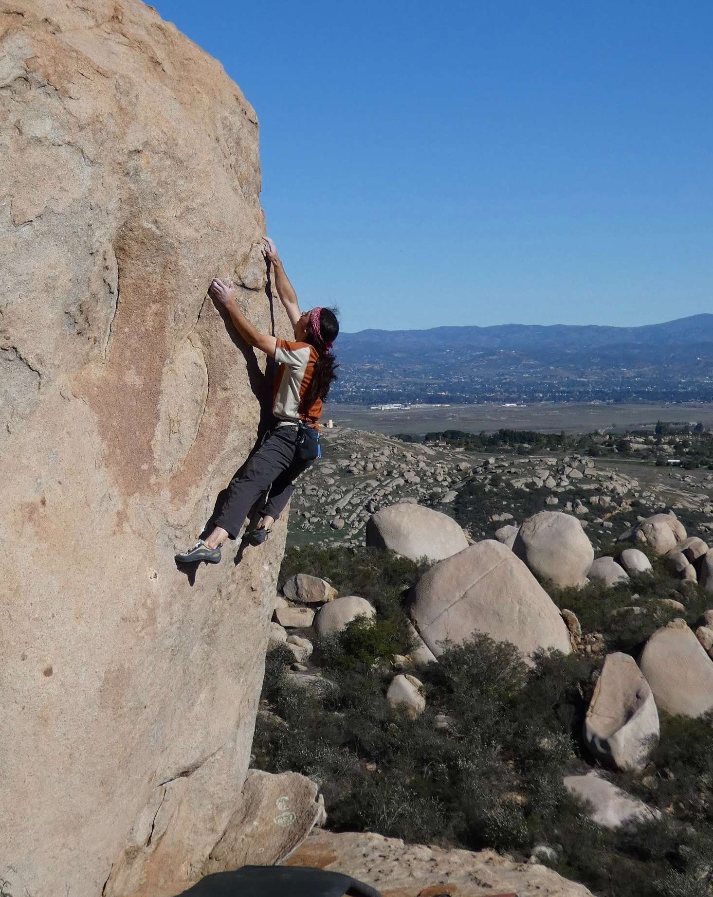
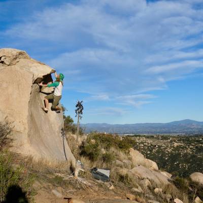
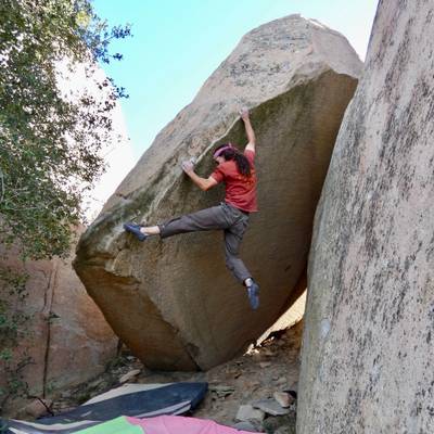
Lake Ramona is quite an amazing area for San Diego climbing. Those seeking out a more “modern” style of climbing than the nearby Mount Woodson will love it here. The boulders have holds. And while it’s still a very technical style of climbing, it tends to be quite different from the rest of San Diego County: quality face climbs on amazing, unique rock, athletic movement, and of course some amazing splitter cracks. When you first get a glimpse of the hillside, the number of boulders is staggering. Nearly all of them have (or will have) climbs. I’ve spent a lot of time explo... Show more
This digital Lake Ramona climbing guidebook gives you GPS navigation, verified topos, and beta for hundreds of climbs. Explore classics and hidden gems with offline access to maps, directions, and beta videos. Whether it's your first visit or fiftieth, KAYA makes your Lake Ramona days smoother, safer, and more dialed.
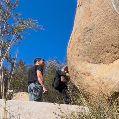
Lake Ramona is quite an amazing area for San Diego climbing. Those seeking out a more “modern” style of climbing than the nearby Mount Woodson will love it here. The boulders have holds. And while it’s still a very technical style of climbing, it tends to be quite different from the rest of San Diego County: quality face climbs on amazing, unique rock, athletic movement, and of course some amazing splitter cracks. When you first get a glimpse of the hillside, the number of boulders is staggering. Nearly all of them have (or will have) climbs. I’ve spent a lot of time exploring the hills of San Diego looking for boulders, this is by far the most concentrated in quality that I have come across. It is just a big playground!
Access Issues
The parking lot opens at sunrise and closes at sunset. There is private property surrounding the hillside, but all of the climbing listed here is public. Please keep off of the rocks that surround the dam when hiking up!
Local Ethic
Since this place doesn’t have much history, it is up to us to establish the ethics. Due to its proximity and similar style to Mt. Woodson, it’s best kept similar. Toprope bolts are generally OK if there is no opportunity for gear anchors, and if the height warrants it. Sport climbs don’t really exist here, mostly because the boulders aren’t big enough. Stick to the established trails and game trails as much as possible. The brush here is very resilient but the soil will have a harder time recovering. Brush off excess chalk/tick marks, and wipe any dirt off your shoes off before getting on the rock. Of course, no chipping, manufacturing, or gluing holds! Holds break. It may be a bummer but it’s not worth gunking this place up. Pick up any trash left or found, and just be respectful of the area. This place has a such a cool vibe to it, let’s keep it that way.
History
People have been climbing here off and on since the late 70’s. We recently learned that one of the first persons to climb up there was John Sherman. He established the Summit Crack (5.7), Summit Lieback (5.8), and Slacker Cracker (V4/5.12-), and likely several more. He also had tried what is now Lifeblood (5.13+) on a few different days.
In 2016, Andrew (AJ) Burch made the first modern mission to the hillside, putting up the difficult tips crack, Izabella (5.12a), and several moderates. Almost exactly a year later, Ben May paid a visit and began putting up difficult face climbs, which sparked my interest, and development of the area has been pretty steady since then.
It takes just about an hour to reach the best concentration of climbs. The hike is not too strenuous, but it’s long enough that you’ll want to make a full day of it. Park in the Blue Sky Ecological Reserve lot (NOTE: parking lot opens at sunrise and closes at sunset. Make sure to plan your day accordingly.) Begin the 2.5 mile hike up to the Lake Ramona Dam, following obvious signs along the road. The first part of the hike is very pleasant and flat (20 min), before hoofing it up the road to the dam (20-30 min). This section is mostly a gradual uphill with a few
steep sections, though no steeper than the Mount Woodson trail. Once at the top of the dam you’ll see the boulders on the hillside north of the lake. Continue along the road to the hillside. There are multiple spots you can head up the hill depending on what area you’re headed to. Hiking up the left side of the hill (before the road makes a hard right turn) is the best way to access most of the hillside, not including the Approach Hills, Base Areas, and Lakeside Boulders. For the Main Summit Trail, hike up the short steep hill to the left, scrambling up the “granite staircase”. From there, follow the obvious, steep trail trending up and right to reach the exposed ridge. Walk along the ridge, keeping an eye out for the obvious Lighthouse Boulder. The trail heads straight to this landmark boulder. The trails to most other areas branch off of the main Summit Trail at some point and are marked in the topos. For the Base and Lakeside Areas, hike directly to the boulders from the road above the dam. The brush is low in most spots making the hillside easily navigable, but be ready for a bit of bushwhacking if you trek out to any boulders away from the main paths. Don’t worry about getting into poison oak, there is none to be found here!
Explore Lake Ramona from all levels with KAYA PRO. Drill down to the area, subarea, boulder and climb levels. Get approach information for each, and a variety of beta.