This digital Needle Peak climbing guidebook gives you GPS navigation, verified topos, and beta for hundreds of climbs. Explore classics and hidden gems with offline access to maps, directions, and beta videos. Whether it's your first visit or fiftieth, KAYA makes your Needle Peak days smoother, safer, and more dialed.

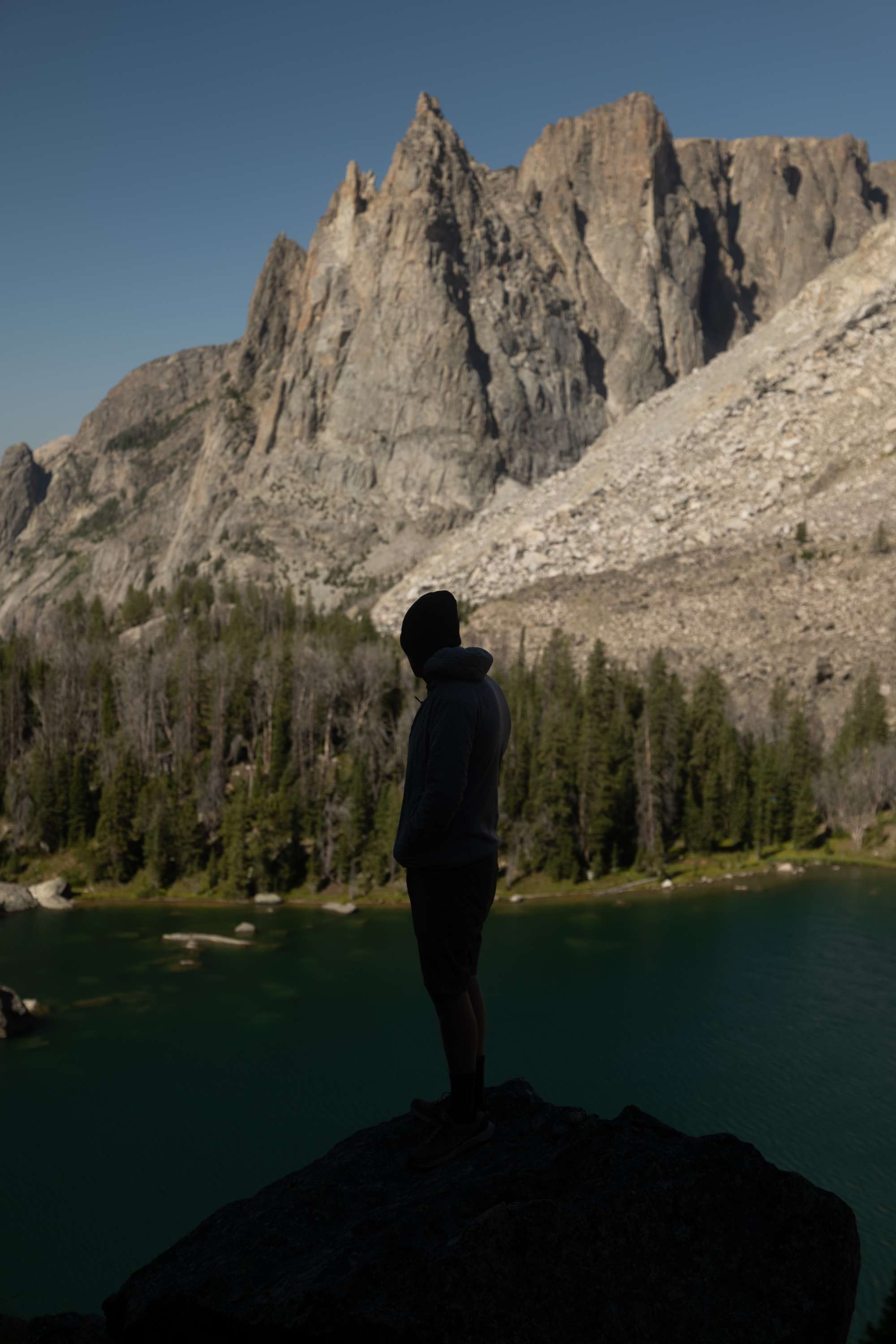
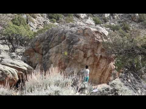
Needle Peak is an iconic Wyoming Bouldering area nestled within Saratoga Valley and framed between the Snowy Range to the east and Sierra Madre to the west. As such, it is part of a classic western landscape; an area enriched with the scent of sage and scattered with antelope, deer, coyote, and a variety of birds. The rock is excellent and abundant, consisting of compact Archean gneiss that has been cleaned and sculpted by wind and water over eons. The entire area is concentrated on a single mountain as an island in the sky, despite a few small outliers along the broad edg... Show more
This digital Needle Peak climbing guidebook gives you GPS navigation, verified topos, and beta for hundreds of climbs. Explore classics and hidden gems with offline access to maps, directions, and beta videos. Whether it's your first visit or fiftieth, KAYA makes your Needle Peak days smoother, safer, and more dialed.
Needle Peak is an iconic Wyoming Bouldering area nestled within Saratoga Valley and framed between the Snowy Range to the east and Sierra Madre to the west. As such, it is part of a classic western landscape; an area enriched with the scent of sage and scattered with antelope, deer, coyote, and a variety of birds. The rock is excellent and abundant, consisting of compact Archean gneiss that has been cleaned and sculpted by wind and water over eons. The entire area is concentrated on a single mountain as an island in the sky, despite a few small outliers along the broad edges of the peak.
Located between the towns of Saratoga to north and Riverside and Encampment to the south, the area provides many comforts in the neighboring towns. Saratoga is the largest of the towns and provides a grocery store, restaurants, lodging (no tent camping), fuel, and of course the free hot springs at the “Hobo Pool”. Riverside and Encampment are closest to Needle Peak and provide a rural assortment of options with a small bar or two, fuel, a small store, and a café or two. Riverside has a good campground, The Lazy Acres, should the free camping on BLM land at Needle Peak not provide adequate comfort.
It is possible to boulder at Needle Peak during any part of the year. The end of June through August is usually too hot, though morning and night sessions may be cool enough for good conditions. The end of November to the end of February is often cold in the middle of Wyoming winter. That being said, some perfect winter days occur if the wind behaves. and the road isn't completely drifted in. The back half of September into December is a long period of stable weather and more often than not, the best conditions for holding on to Needle Peak grips. Alternatively, March through May is also an excellent time for bouldering at Needle Peak. Wet days are more likely in the spring, but a cold wind often blows. Needle Peak sits in a small rain shadow created by the Sierra Madre to the west. Often, it is the only dry place to boulder during periods of bad weather in southeast Wyoming.
ETHICS:
Enjoy the boulders of Needle Peak. Treat the place as a sacred mountain. It is sacred for many of us. History is ongoing and the future is always near. Please add your own chapter to this mountain and revel in the process of it. NOTE: We do not chip or modify the rock at Needle Peak. It serves perfect grips as is! You will notice some landings built. Please be awarwe of the potential impact this has on the landscape. Organize and make it look natural (lichen up, soil and plants preserved), and do with a long term future in mind. It is better to have a level deck that last for generations than to have an eroding slope of dirt that gets worse every season.
HISTORY:
The history of Needle Peak is as common as most other places in the annals of Wyoming climbing. The first routes were done by Saratoga and other Wyoming locals during the initial waves of American free climbing (1950s-1960s). Later on, the steeper lines gained interest and bolts were added to a few small towers. In the early 2000s, bouldering began. Though boulder problems have been contributed by many, the majority of problems were cleaned and climbed by a few locals. Bryan Vansickle, Guilherme Zavaschi, Ethan McMahan, and the author spent too many days, over several long seasons, developing the majority of problems at Needle Peak. Other significant help in development came from Josh Helke, Liz Hajek, Bob Proffit, Josh Thuier and others. From 2016 onward, after the first edition of a PDF guide was released several of the last great projects were completed. Andrew Hudson and Sam Berg led this next generation with new problems being developed and new projects being cleaned. Some incredible projects remain with a few getting done each year. A generation of high end double digit problems await.
All bouldering is on public lands of both the BLM and State of Wyoming. However, all sides of the public land at Needle Peak are bounded by private ranch lands. Respect those landowners and do not access private lands. No, they are not interested in talking to you or allowing access to rock behind their fences.
Needle Peak is located a mile east of Highway WY 230, 14 miles south of Saratoga and 4.5 miles north of Riverside and Encampment. Baggott Rocks Road (Carbon County Rd. 680) leaves WY 230 going eastward. Follow the county road for less than a half mile to the first north going dirt road; just before the second cattle guard since leaving the highway. The dirt road follows a fence around private land, first northward, then eastward before going directly to Needle Peak. The “Central Parking” is the main parking for Needle Peak, but various other parking spots abound and make approaches pretty minor. Central parking is found by a quick left, then immediate right where the dirt road splits at the first fork (four-way fork) since leaving the fence line along the property boundary.
The west side of the mountain is the “front side”. It is seen from the highway and the side accessed while driving in. The east regions are the “far side” being the side you walk farthest to. North and south sides are equally accessible. An abundance of small side roads provide parking and access points. Be aware that private land surrounds the entirety of Needle Peak, though Needle Peak and the outlier Silver Spur are on BLM or State of Wyoming lands.
NOTE: The main dirt road from the the country road onward can be very poor in wet conditions, even for an off-road vehicle with good tires it may become a challenge to drive on.
SECOND NOTE: along the northern end of the peak is a 4wd road that is referenced several times for approaches. It has a nice and easy parking spot for any vehicle near the bottom of the road. After that parking spot, it gets rugged and steep. It requires not only significant clearance and 4wd low, but an experienced driver. Proceed at your own risk if you choose to drive up there.
THIRD NOTE: The long and bumpy road that takes you to the Silver Spur outlier traverses northward around a long distance shooting range (welcome to Wyoming). You will see large gongs on the private side of the fence. The range is run by responsible adults and they are aware of the public land behind the targets. Do your part and make yourself visible as you drive around the north end of the peak and across the broad field. Turn on headlights and drive safely!
Explore Needle Peak from all levels with KAYA PRO. Drill down to the area, subarea, boulder and climb levels. Get approach information for each, and a variety of beta.