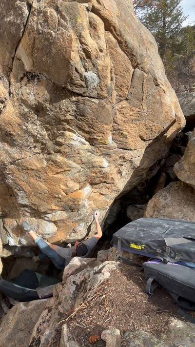
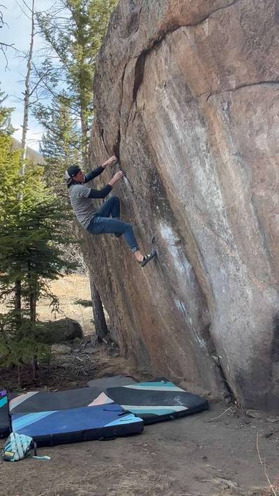
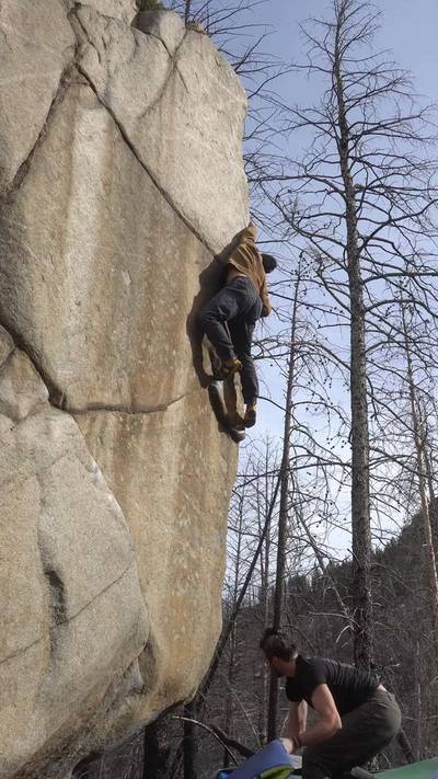
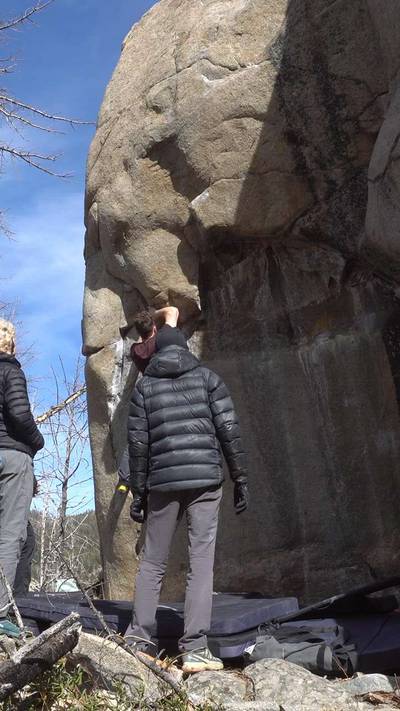
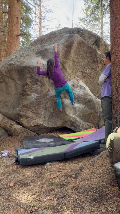
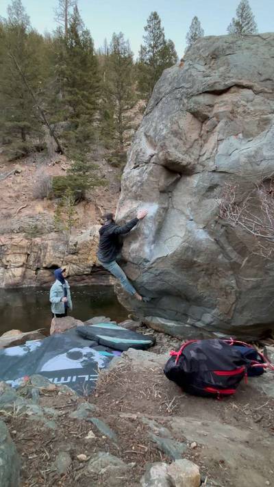
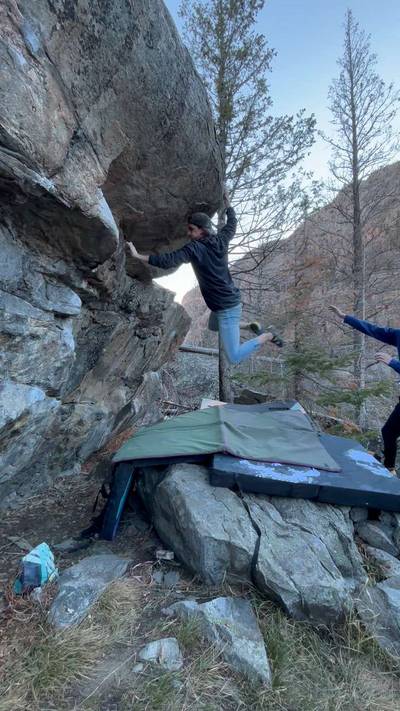
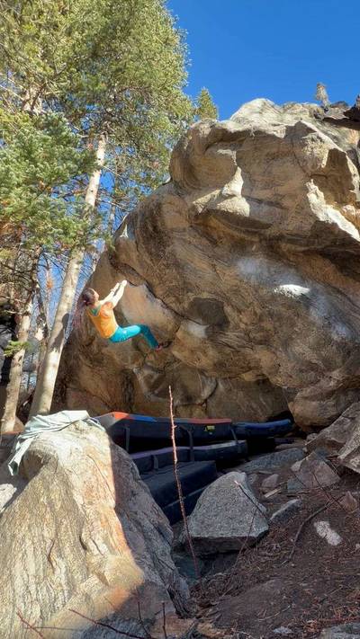
This digital Poudre Canyon climbing guidebook gives you GPS navigation, verified topos, and beta for hundreds of climbs. Explore classics and hidden gems with offline access to maps, directions, and beta videos. Whether it's your first visit or fiftieth, KAYA makes your Poudre Canyon days smoother, safer, and more dialed.

Cache La Poudre Canyon runs for about 50 miles starting near Bellvue, Colorado and all the way up to Cameron Pass. Initially settled by the Ute Indian Nation, its name comes from French settlers using the canyon to “stash their gun powder.” It is one of the few rivers in the country with a Wild and Scenic designation from the BLM. Most of the canyon falls within the Canyon Lakes Ranger District of the Roosevelt National Forest, with some areas also managed by the Dept. of Wildlife.

Camping options are plentiful in the warmer months, with many Forest Service pay sites ... Show more
This digital Poudre Canyon climbing guidebook gives you GPS navigation, verified topos, and beta for hundreds of climbs. Explore classics and hidden gems with offline access to maps, directions, and beta videos. Whether it's your first visit or fiftieth, KAYA makes your Poudre Canyon days smoother, safer, and more dialed.
Cache La Poudre Canyon runs for about 50 miles starting near Bellvue, Colorado and all the way up to Cameron Pass. Initially settled by the Ute Indian Nation, its name comes from French settlers using the canyon to “stash their gun powder.” It is one of the few rivers in the country with a Wild and Scenic designation from the BLM. Most of the canyon falls within the Canyon Lakes Ranger District of the Roosevelt National Forest, with some areas also managed by the Dept. of Wildlife.
Camping options are plentiful in the warmer months, with many Forest Service pay sites listed on Recreation.gov, generally costing $6–12. Privately-owned options exist as well, with Archers Resort being one of the best (poudreriverresort.com). Free camping is increasingly rare, though Pingree Park Road, Red Feather Lakes, and Laramie River Road remain potential options. Car camping is officially illegal, but maintaining a low profile is key.
Many areas require river crossings ranging from ankle-deep to hazardous, and assessing conditions is a learned skill. No tyroleans are used due to the boating community and short crossable season. Waders, sandals, or old shoes are recommended. Winter crossings often involve frozen river travel, which also requires careful judgment of ice quality.
The High Park Fire (2012) burned over 87,000 acres and affected portions of the Narrows and Lower Canyon. While no climbing damage has been documented, access and hillside stability remain concerns—be cautious of burnt trees, rockfall, and unstable slopes.
Waste disposal is essential. Dig cat-holes or use Wag Bags and avoid going within 100 yards of water or parking. Many bathrooms exist throughout the canyon.
Dogs are welcome but require awareness of other users, highway proximity, cactus, and river safety. On DOW land, dogs must remain under voice control.
Wildlife is abundant—bighorn sheep, mountain goats, and moose are common near the highway. Moose require distance and respect. Rattlesnakes can be present in the Lower Canyon in summer. Bears, lions, and lynx are present but rarely encountered.
New route development is ongoing. Most hardware is stainless steel (3/8” or 1/2” wedge bolts, or SS 5-piece). Report any damaged bolts to the NCCC (nococlimbers@gmail.com
). Many sport routes now use fixed carabiners for lowering; inspect before use, lower directly through them, and donate replacements if they are worn. Use your own gear for top-roping.
Fort Collins is the nearest major town, offering a vibrant arts scene, breweries, outdoor access, and a mild climate.
Most of the canyon sits within the Canyon Lakes Ranger District of the Roosevelt National Forest, with some portions managed by Colorado Department of Wildlife.
Camping:
Numerous Forest Service pay sites ($6–12), many reservable through Recreation.gov.
Private options exist, including Archers Resort.
Free camping is limited; possible zones include Pingree Park Road, Red Feather Lakes, and Laramie River Road.
Car camping is officially illegal but sometimes tolerated if low-key.
River Crossings:
Many climbing areas require a river crossing.
Conditions vary from easy to dangerous—evaluate carefully.
No tyroleans used due to river traffic and short crossable season.
Waders or water shoes recommended; in winter, evaluate ice thickness before crossing.
Post-Fire Zones:
High Park Fire burn areas remain unstable with falling tree and rockfall hazards.
Waste Disposal:
Use cat-holes or Wag Bags; stay 100 yards from water sources and parking.
Dogs:
Allowed on Forest Service land; must be under voice control on DOW lands.
Watch for cactus, river hazards, and traffic near the highway.
Wildlife:
Expect moose, bighorn sheep, mountain goats, rattlesnakes, and occasional large predators.
Yield to wildlife and keep distance, especially from moose.
Bolting & Hardware:
Routes use SS 3/8”, 1/2” wedge bolts or SS 5-piece bolts.
Report damaged bolts to NCCC (nococlimbers@gmail.com
).
Fixed carabiners at anchors are used for lowering—inspect first, replace if worn, and use personal draws for TR.
Nearest Town:
Fort Collins—major services, supplies, culture, breweries, and amenities.
Explore Poudre Canyon from all levels with KAYA PRO. Drill down to the area, subarea, boulder and climb levels. Get approach information for each, and a variety of beta.