
The Gateway Climbing

Last Updated: Sep, 2026
115
Boulders
Guide moderated by Scott Eveleigh
ABOUT The Gateway

This digital The Gateway climbing guidebook gives you GPS navigation, verified topos, and beta for hundreds of climbs. Explore classics and hidden gems with offline access to maps, directions, and beta videos. Whether it's your first visit or fiftieth, KAYA makes your The Gateway days smoother, safer, and more dialed.

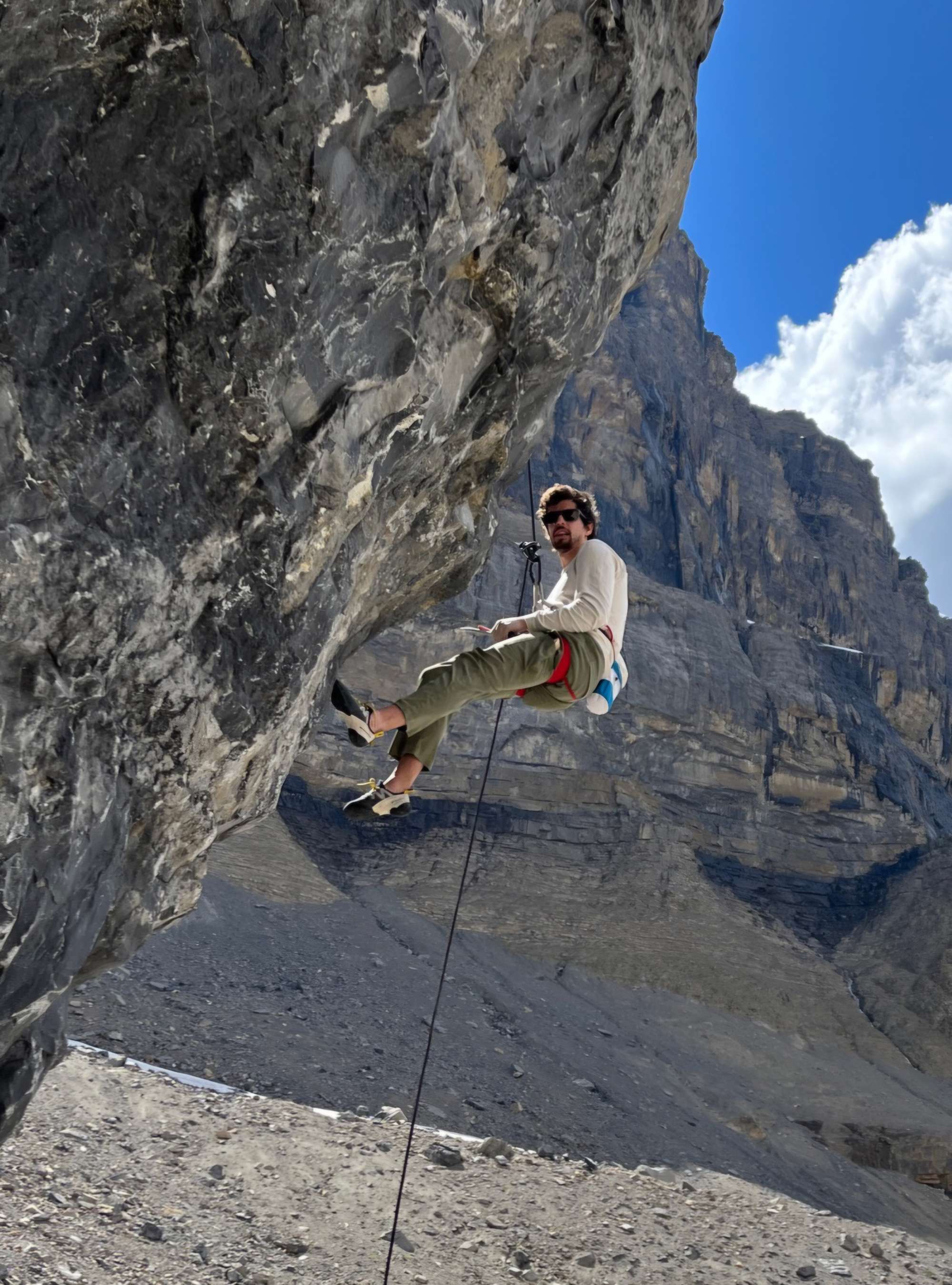
The Gateway has one of the highest concentration of difficult lines in Alberta with many being on steep overhangs. The rock quality is very good for limestone boulders although the nature of the holds and texture can be unforgiving on the skin. The difficult and long approach makes this area seldom visited but the alpine scenery and guaranteed solitude make it worth visiting to test yourself on the various testpieces.

From the parking area, head South along a good trail to a junction with the Trails Canada Trail. Turn right (West) and follow this for a couple hundred mete... Show more
This digital The Gateway climbing guidebook gives you GPS navigation, verified topos, and beta for hundreds of climbs. Explore classics and hidden gems with offline access to maps, directions, and beta videos. Whether it's your first visit or fiftieth, KAYA makes your The Gateway days smoother, safer, and more dialed. The Gateway has one of the highest concentration of difficult lines in Alberta with many being on steep overhangs. The rock quality is very good for limestone boulders although the nature of the holds and texture can be unforgiving on the skin. The difficult and long approach makes this area seldom visited but the alpine scenery and guaranteed solitude make it worth visiting to test yourself on the various testpieces. From the parking area, head South along a good trail to a junction with the Trails Canada Trail. Turn right (West) and follow this for a couple hundred meters before taking a left onto a good trail heading into the forest. Follow the trail until you reach the edge of the drainage, stay out of the drainage for now and follow the trail that heads up the hillside. Follow this until it eventually joins the drainage past the most narrow section of canyon. Follow the drainage/canyon past sporting climbing areas and a large chockstone. Head up and out of the canyon past large boulders (the chockstone area). A faint trail continues beyond, crossing over the drainage and eventually leads to the base of the large boulder field. The trail continues on the edge of the talus and you can cut across to the desired boulder.

OFFLINE MAPS + APPROACH

Get the full experience in the app.
Download KAYA
WEATHER
SEASON CHART
APPROACH
Forecast for The Gateway
Powered by the Tomorrow.io Weather API

Areas in Canmore & Kananaskis

Explore Canmore & Kananaskis from all levels with KAYA PRO. Drill down to the area, subarea, boulder and climb levels. Get approach information for each, and a variety of beta.
Download KAYA

