
The Marsupial Crags Climbing

Last Updated: Sep, 2026
399
Routes
Guide moderated by TREVOR ROOSEN & Alan Watts
ABOUT The Marsupial Crags

This digital The Marsupial Crags climbing guidebook gives you GPS navigation, verified topos, and beta for hundreds of climbs. Explore classics and hidden gems with offline access to maps, directions, and beta videos. Whether it's your first visit or fiftieth, KAYA makes your The Marsupial Crags days smoother, safer, and more dialed.

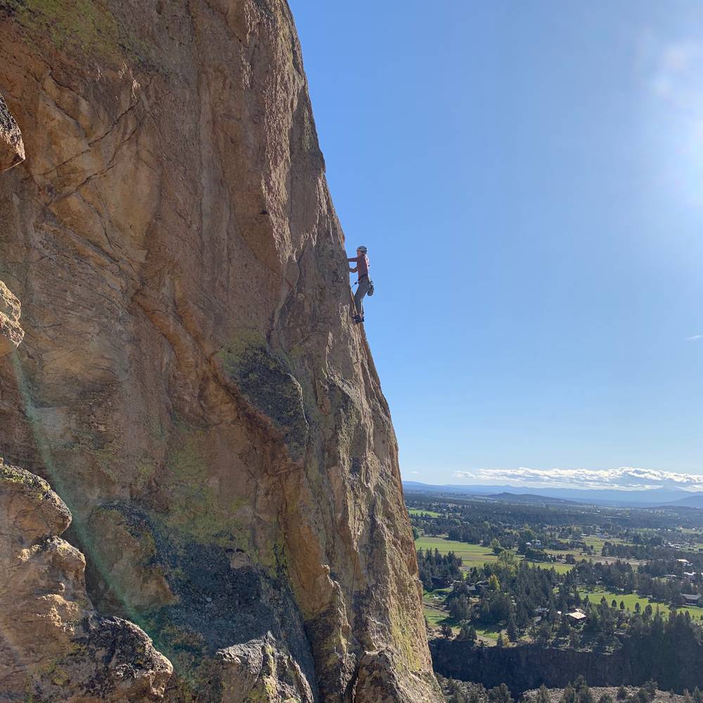
Sitting completely outside the confines of Smith Rock State Park, on the hillside to the east (with Burma Road slashing across)

No matter what, the approach to the Marsupial Crags is long.  The amount of uphill hiking varies considerably based on your destination.  There are two options:  the longest (and only year round) approach hikes into the canyon from the main Smith parking lot, turning right after crossing the bridge.  Hike far upstream beyond the northernmost bend of the Crooked River, before hiking uphill to the base of the Burma Road.  Depending ... Show more
This digital The Marsupial Crags climbing guidebook gives you GPS navigation, verified topos, and beta for hundreds of climbs. Explore classics and hidden gems with offline access to maps, directions, and beta videos. Whether it's your first visit or fiftieth, KAYA makes your The Marsupial Crags days smoother, safer, and more dialed. Sitting completely outside the confines of Smith Rock State Park, on the hillside to the east (with Burma Road slashing across) No matter what, the approach to the Marsupial Crags is long. The amount of uphill hiking varies considerably based on your destination. There are two options: the longest (and only year round) approach hikes into the canyon from the main Smith parking lot, turning right after crossing the bridge. Hike far upstream beyond the northernmost bend of the Crooked River, before hiking uphill to the base of the Burma Road. Depending on your destination, either hike up the Burma Road to the switchback (Koala Rock, Brogan Spire Complex, Upper Marsupial Wall, Trenchtown Gully, Upper Marsupial Spires, and the Wombat) or branch right on trail skirting the uphill side of the canal to the Mudpile Region, Wallaby, Kangaroo, Marsupial Wall, and the Tyler Adams Crags). During low river conditions, you can save 10 to 15 minutes by parking at the turnaround parking area, and scrambling down the rimrock (3rd class) before crossing the Crooked River on immense, polished boulders. This approach become extremely dangerous (if not impossible) during high river conditions.

OFFLINE MAPS + APPROACH

Get the full experience in the app.
Download KAYA

Recent Ascents in The Marsupial Crags

KAYA CLIMBER
CLIMB
DETAILS
DATE
WEATHER
SEASON CHART
APPROACH
Forecast for The Marsupial Crags
Powered by the Tomorrow.io Weather API

Areas in Smith Rock

Explore Smith Rock from all levels with KAYA PRO. Drill down to the area, subarea, boulder and climb levels. Get approach information for each, and a variety of beta.
Download KAYA

