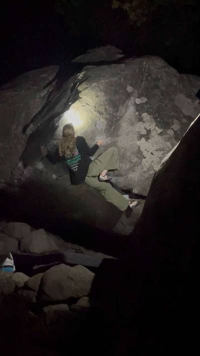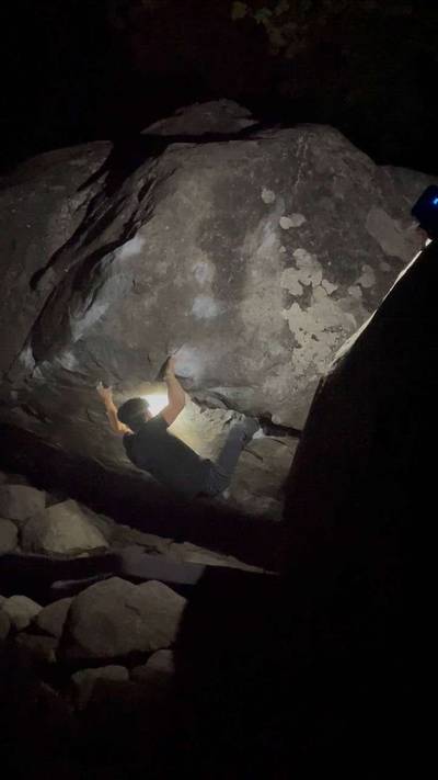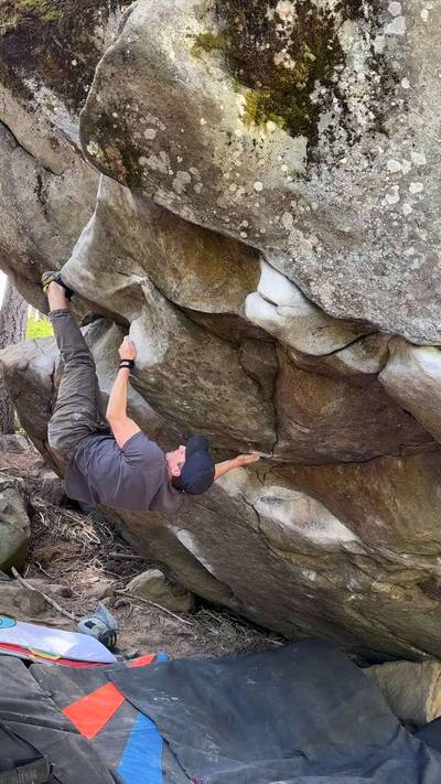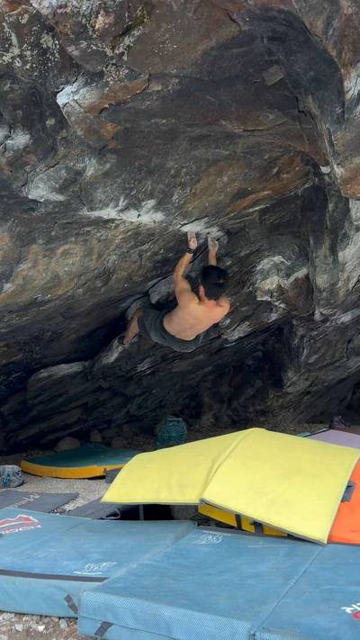
Tumwater Canyon Climbing

Last Updated: Aug, 2026
351
Boulders
Guide moderated by Drew Schick & Kelly Sheridan
ABOUT Tumwater Canyon

This digital Tumwater Canyon climbing guidebook gives you GPS navigation, verified topos, and beta for hundreds of climbs. Explore classics and hidden gems with offline access to maps, directions, and beta videos. Whether it's your first visit or fiftieth, KAYA makes your Tumwater Canyon days smoother, safer, and more dialed.

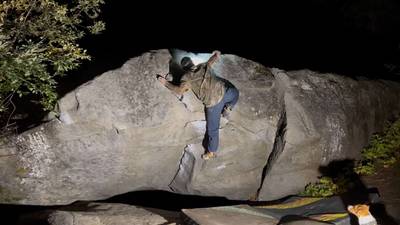
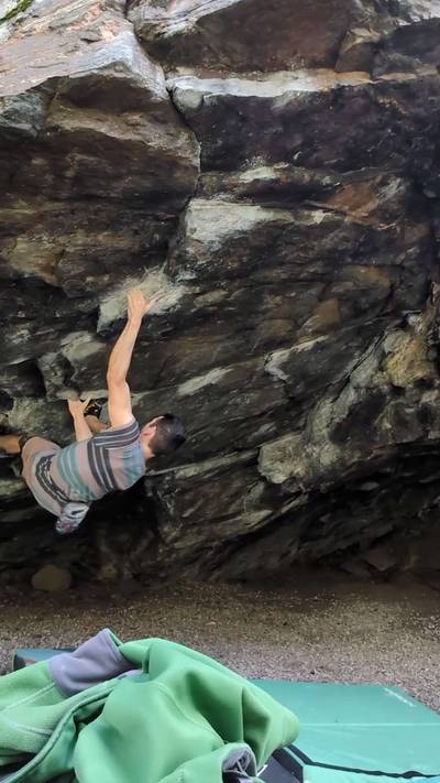
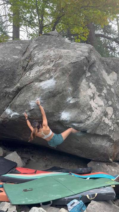
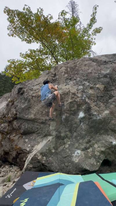
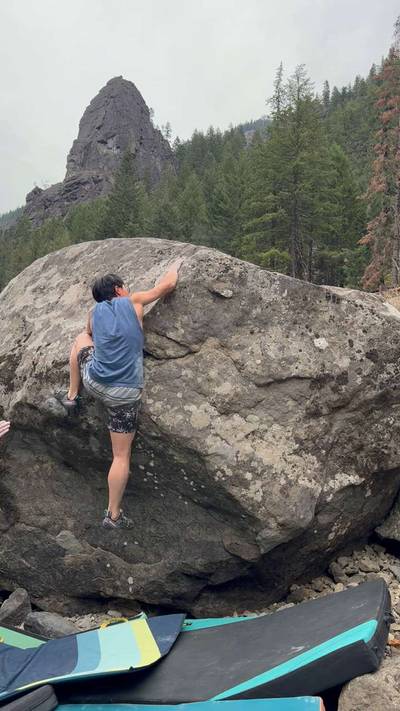
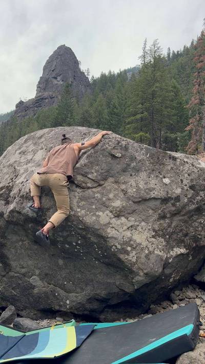
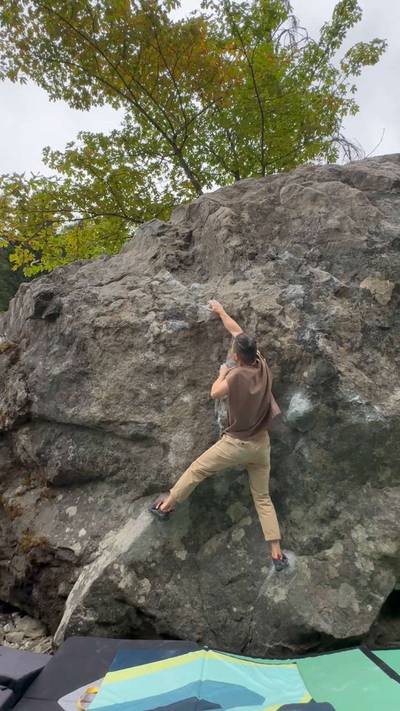
Many visitors to Leavenworth first experience the grandeur of the Wenatchee Mountains as they wind their way through the narrow valley of Tumwater Canyon on Highway 2. Fittingly, many boulderers have their first experiences in Leavenworth at popular Tumwater venues like the Swiftwater Picnic Area and The Beach. While these two major spots get all the traffic, the Tumwater is also home to a handful of other areas that offer small concentrations of superb problems. Dubbed “The Canyon of Granite” by Fred Becky in Challenge of the North Cascades, Tumwater Canyon’s dram... Show more
This digital Tumwater Canyon climbing guidebook gives you GPS navigation, verified topos, and beta for hundreds of climbs. Explore classics and hidden gems with offline access to maps, directions, and beta videos. Whether it's your first visit or fiftieth, KAYA makes your Tumwater Canyon days smoother, safer, and more dialed. Many visitors to Leavenworth first experience the grandeur of the Wenatchee Mountains as they wind their way through the narrow valley of Tumwater Canyon on Highway 2. Fittingly, many boulderers have their first experiences in Leavenworth at popular Tumwater venues like the Swiftwater Picnic Area and The Beach. While these two major spots get all the traffic, the Tumwater is also home to a handful of other areas that offer small concentrations of superb problems. Dubbed “The Canyon of Granite” by Fred Becky in Challenge of the North Cascades, Tumwater Canyon’s dramatic slopes are generously sprinkled with rocks of all shapes and sizes, from gigantic monoliths like Castle Rock to the top-heavy blobs that get us so psyched. Though the bouldering options on the steep hillsides and narrow floor of the Tumwater may be somewhat lacking in quantity compared to Icicle Canyon, the rock quality certainly makes up for it. Diversity is the theme here, from the Squamish-like stone of The Labyrinth area to the fine-grained slopers of Swiftwater north, the schist at Swiftwater south, and the river-polished cave at Jenny Craig. The sheer slopes of the Tumwater Canyon keep it somewhat shadier than the Icicle during the summer months, and areas like The Beach remain tolerable on the warmest days even despite the canyon’s low elevation – a worthwhile trade-off for the steady hum of vehicles along Highway 2, the Tumwater’s only major drawback. Though Tumwater Canyon has very little private property, the volume of traffic through the canyon can make parking cruxy in some areas. Always park with all four tires off of the roadway, and respect the private property around The Alps candy store. Keep an eye out for rattlesnakes on warmer days, and make plenty noise around sunrise and sunset to avoid startling the occasional bear. For camping, hit up the Tumwater Campground on the west end of the canyon, or head up the Icicle for some peace and quiet. Finally, it ought to be mentioned that the Tumwater is home to several fine swimming holes, popula Tumwater Canyon stretches some ten miles west of the town of Leavenworth on Highway 2. For purposes of this guide, the bouldering areas in the Tumwater have been arranged from east to west, ones closest to town first. As with Icicle Canyon, all mileages are given from the junction with Icicle Road just east of Leavenworth’s famous “Willkommen” sign. Directions are given from Leavenworth, so a ‘left-hand pullout’ will be on the right if you’re coming from the west. Those traveling from the west should reset their odometers at Swiftwater and use the between-area mileages for navigation. For map-reading clarity, it should be noted that the Tumwater Canyon actually runs north-south after the Beach area parking; thus, the Wenatchee River is to the west of Rt. 2 at most areas.

OFFLINE MAPS + APPROACH

Get the full experience in the app.
Download KAYA

Recent Ascents in Tumwater Canyon

KAYA CLIMBER
CLIMB
DETAILS
DATE
ADITYA SAMUDRA
@thatclimbwasass
Schist Cave Left v9
This one’s for Taya 💘
★ 3(v8, Solid)
8.15.2026
WEATHER
SEASON CHART
APPROACH
Forecast for Tumwater Canyon
Powered by the Tomorrow.io Weather API

Areas in Leavenworth

Explore Leavenworth from all levels with KAYA PRO. Drill down to the area, subarea, boulder and climb levels. Get approach information for each, and a variety of beta.
Download KAYA