Underground Climbing

Last Updated: Aug, 2026
159
Boulders
Guide moderated by Jeremy Schoenborn

ABOUT Underground

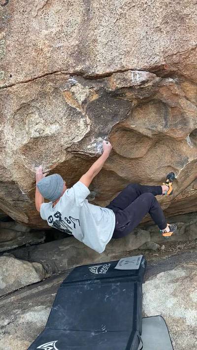
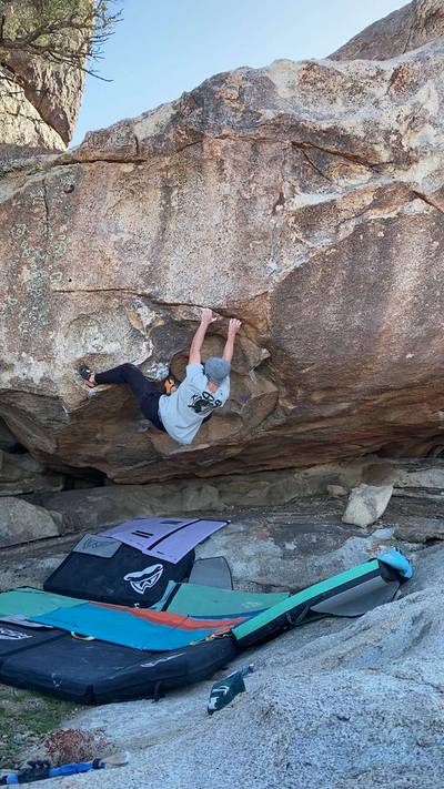
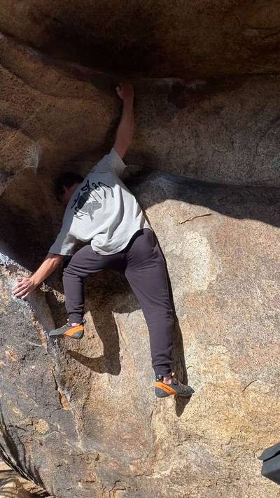
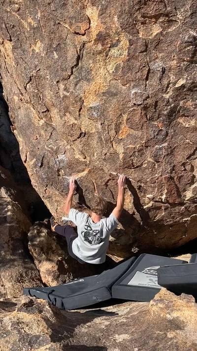
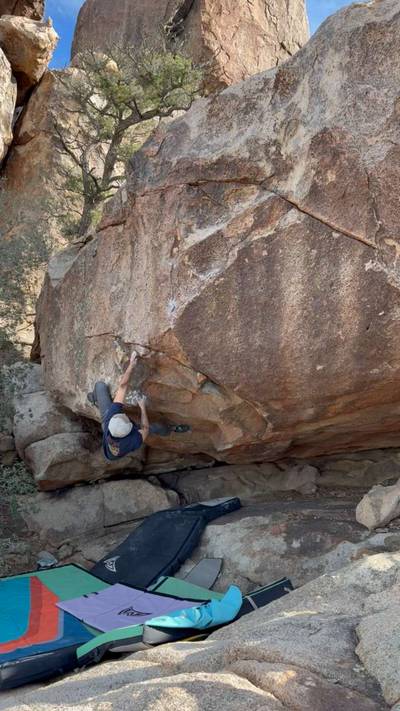
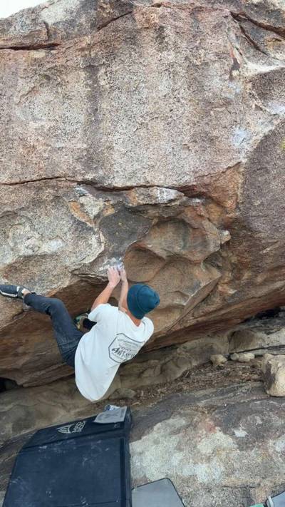
This digital Underground climbing guidebook gives you GPS navigation, verified topos, and beta for hundreds of climbs. Explore classics and hidden gems with offline access to maps, directions, and beta videos. Whether it's your first visit or fiftieth, KAYA makes your Underground days smoother, safer, and more dialed.

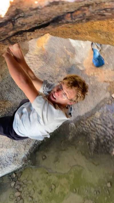
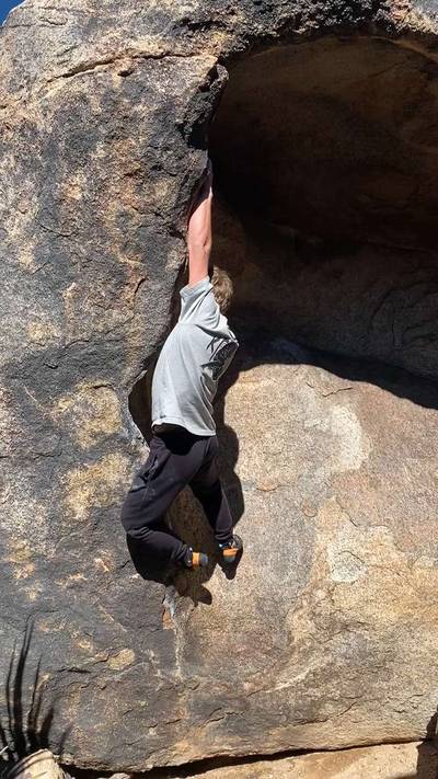
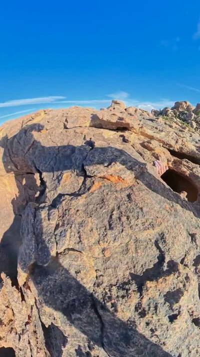
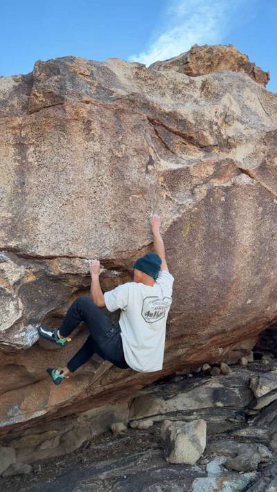
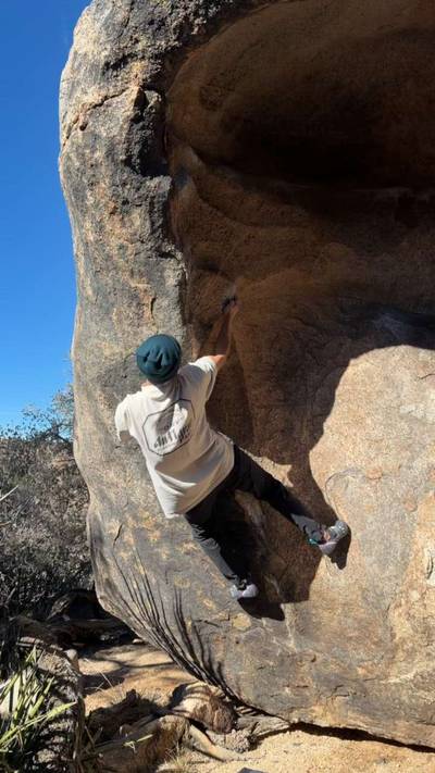
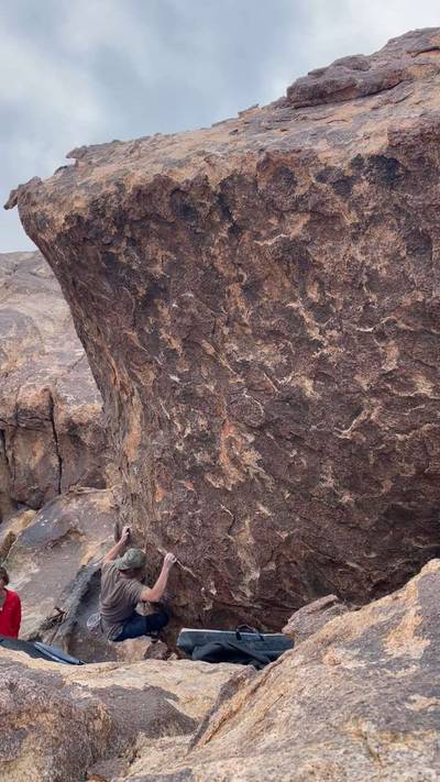
The crown jewel of Joshua Tree bouldering. Established mostly by Robert Miramontes and friends, this area must have been a miraculous sight to behold upon first encounter. Dreamy rock, dreamy angles, and a massive approach make this area very unique for Joshua Tree. This is a very dense zone, much to do.

The Underground is accessed from the Queen Mountain parking loop. Two options exist : follow directions to Barker Dam, but instead of turning left into the lot, go right on the dirt road. Follow this for 2.8 miles, and make a sharp left turn when it intersects another dir... Show more
This digital Underground climbing guidebook gives you GPS navigation, verified topos, and beta for hundreds of climbs. Explore classics and hidden gems with offline access to maps, directions, and beta videos. Whether it's your first visit or fiftieth, KAYA makes your Underground days smoother, safer, and more dialed. The crown jewel of Joshua Tree bouldering. Established mostly by Robert Miramontes and friends, this area must have been a miraculous sight to behold upon first encounter. Dreamy rock, dreamy angles, and a massive approach make this area very unique for Joshua Tree. This is a very dense zone, much to do. The Underground is accessed from the Queen Mountain parking loop. Two options exist : follow directions to Barker Dam, but instead of turning left into the lot, go right on the dirt road. Follow this for 2.8 miles, and make a sharp left turn when it intersects another dirt road. Follow this to its end, Queen Mountain parking loop. Alternatively, follow Park Blvd for 15.0 miles, and make a left on the dirt road. Follow this to its end, Queen Mountain parking loop. As for the approach : hike north out of the loop on an old dirt road. This will take you to the base of a mountain before veering right along its base, passing the Approach boulders. After these boulders, things get steep and the trail becomes less obvious. Take the steep gully uphill until it you summit, at which point you'll zag back left/northwest. Head northwest until encountering the Watchtower boulder. Continue north and slightly downhill past the Watchtower. Try and not lose the trail here. From here you'll be able to see Upper and Lower Walt's Rocks. This is where the Underground is located. A fair bit of downhill hiking will take you to a wash, which will lead you to one last uphill scramble below Upper Walt's rock. From there head northwest over rock plateaus to the Underground. Expect 1.5-2 hours of hiking depending on fitness and how lost you get.

OFFLINE MAPS + APPROACH

Get the full experience in the app.
Download KAYA

Recent Ascents in Underground

KAYA CLIMBER
CLIMB
DETAILS
DATE
JOSH PIERCE
@jpierce17
Brain Teaser v0
★ 4(v0, Solid)
4.23.2026
Private User
---
Habanero v4
How do you establish this?
★ 2(v5, Solid)
2.7.2026
Private User
---
All Along the Watchtower v1
Very pumpy route with a pretty challenging crux for a v1, even at J tree
★ 4(v2, Solid)
2.7.2026
Private User
---
Heart v4
★ 5(v2, Solid)
2.7.2026
Private User
---
Boot Problem v0
★ 1(v0, Solid)
2.7.2026
WEATHER
SEASON CHART
APPROACH
Forecast for Underground
Powered by the Tomorrow.io Weather API