This digital Independence Mine climbing guidebook gives you GPS navigation, verified topos, and beta for hundreds of climbs. Explore classics and hidden gems with offline access to maps, directions, and beta videos. Whether it's your first visit or fiftieth, KAYA makes your Independence Mine days smoother, safer, and more dialed.
While the majority of the boulder problems in Hatcher Pass are accessed from Archangel Road, the Independence Mine area comprises all of the remaining boulders covered in this guidebook not accessed by Archangel Road. This includes the Road Run Sector, Independence Mine, Crucifix Area, Fishhook Creek, and Gold Cord Lake. Within these five areas there are over 200 problems with a little bit of everything: classic tespieces, highballs, meadow landings, and funky problems. Most people are attracted to these areas because of the convenient drive (paved road), the m... Show more
This digital Independence Mine climbing guidebook gives you GPS navigation, verified topos, and beta for hundreds of climbs. Explore classics and hidden gems with offline access to maps, directions, and beta videos. Whether it's your first visit or fiftieth, KAYA makes your Independence Mine days smoother, safer, and more dialed.
While the majority of the boulder problems in Hatcher Pass are accessed from Archangel Road, the Independence Mine area comprises all of the remaining boulders covered in this guidebook not accessed by Archangel Road. This includes the Road Run Sector, Independence Mine, Crucifix Area, Fishhook Creek, and Gold Cord Lake. Within these five areas there are over 200 problems with a little bit of everything: classic tespieces, highballs, meadow landings, and funky problems. Most people are attracted to these areas because of the convenient drive (paved road), the mellow approaches, meadow landings, and the alpine aesthetic. However, Independence Mine is a historic area of the park and this side of the mountain has a distinctly different feel than Archangel Valley to the north: more tourists, a required park pass (no wiggle room), a controlled gate with rigid hours, and private property. The Chugach National Forest Avalanche Information Center (CNFAIC) maintains a snow stake at Hatcher Pass Lodge, which is extremely useful in monitoring the snow depth at about 3,000 feet.
Hatcher Pass Road continues climbing up, passing Hatcher Pass Lodge and the actual pass over the mountains, until it dead-ends at the historic Independence Mine which is the parking area for these boulders (except for Road Run). The gate at the lower parking lot is a bit of a nuisance to long days of bouldering. It is open from 9am - 7pm in the summer. It is plenty of time, unless you start late or lose track of time. If you’re late, then your day ends with being locked inside or an apologetic confrontation with the park attendant. It is possible to park outside of the gate, but driving up to the mine saves a mile of walking and 500 feet of elevation gain. Plan accordingly. At 3,500 feet, the elevation does mean that the snow tends to linger into the early summer. The gate is only open in the summer, but the opening date is not set in stone.
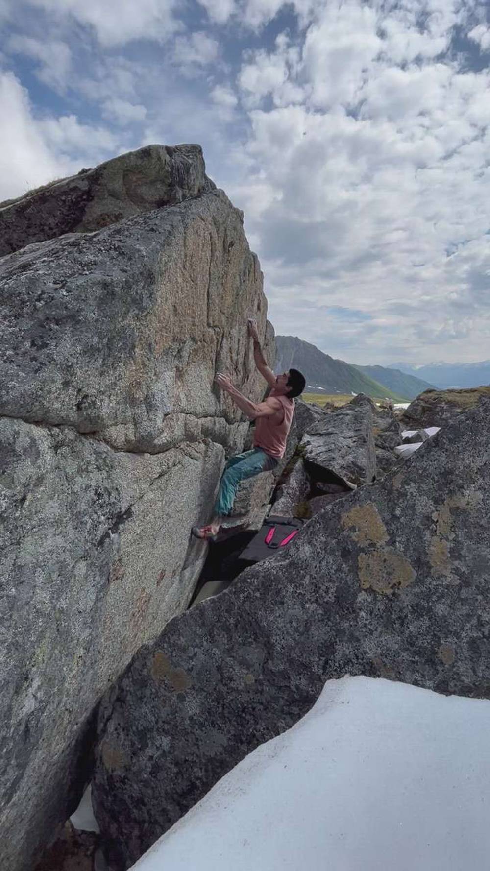
I did it with a snow landing and multiple layers of pads, but the fall from the top still sucks lol
I topped out right by slapping for the horn that others have put their foot on for the top out. Still v8 because it’s a hard, risky throw from a bad foot and hand.
Explore Hatcher Pass from all levels with KAYA PRO. Drill down to the area, subarea, boulder and climb levels. Get approach information for each, and a variety of beta.