Left Fork Climbing

Last Updated: Oct, 2026
396
Boulders
Guide moderated by Steven Jeffery & Joe's Valley Coalition

ABOUT Left Fork

This digital Left Fork climbing guidebook gives you GPS navigation, verified topos, and beta for hundreds of climbs. Explore classics and hidden gems with offline access to maps, directions, and beta videos. Whether it's your first visit or fiftieth, KAYA makes your Left Fork days smoother, safer, and more dialed.

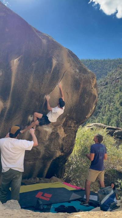
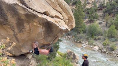
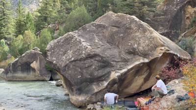
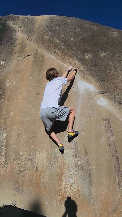
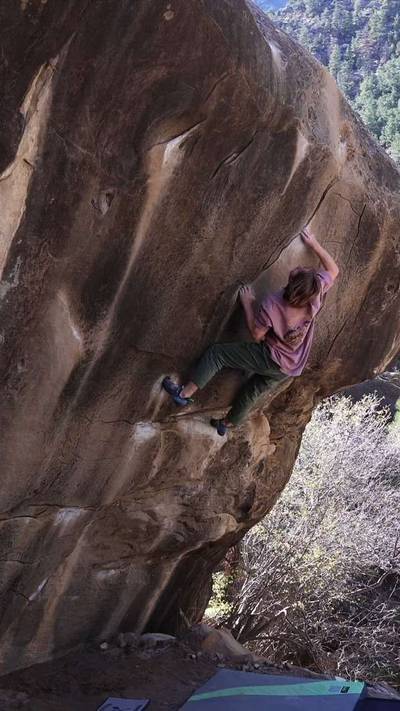
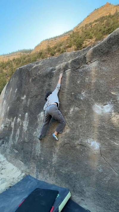
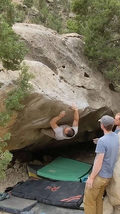
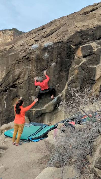
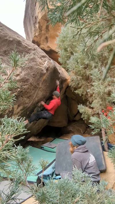
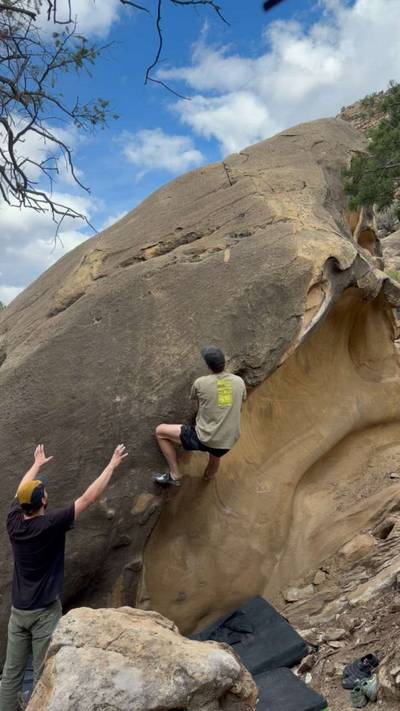
The Left Fork is also known as Straight Canyon or State Highway 29. This road will lead you straight to the scenic Joe's Valley Reservoir. The Left Fork is home to the largest density of new bouldering areas in Joe's Valley.

Follow State Highway 29 and the signs to Joe's Valley out of the town of Orangeville and continue on straight past the road to Cottonwood Canyon (Right Fork). You'll see pullouts for the various climbing zones both on the right and left as you work your way up the canyon. If you continue up the road, you'll end up at the Joe's Valley Reservoir, great for ... Show more
This digital Left Fork climbing guidebook gives you GPS navigation, verified topos, and beta for hundreds of climbs. Explore classics and hidden gems with offline access to maps, directions, and beta videos. Whether it's your first visit or fiftieth, KAYA makes your Left Fork days smoother, safer, and more dialed. The Left Fork is also known as Straight Canyon or State Highway 29. This road will lead you straight to the scenic Joe's Valley Reservoir. The Left Fork is home to the largest density of new bouldering areas in Joe's Valley. Follow State Highway 29 and the signs to Joe's Valley out of the town of Orangeville and continue on straight past the road to Cottonwood Canyon (Right Fork). You'll see pullouts for the various climbing zones both on the right and left as you work your way up the canyon. If you continue up the road, you'll end up at the Joe's Valley Reservoir, great for rest day swimming or ice fishing, depending on the season. Several hiking/running/OHV trailheads can also be found out by the reservoir.

OFFLINE MAPS + APPROACH

Get the full experience in the app.
Download KAYA

Recent Ascents in Left Fork

KAYA CLIMBER
CLIMB
DETAILS
DATE
ERIC SWENSON
@swen
Iron Butterfly v6
★ 4(v6, Solid)
Three Days Ago
ERIC SWENSON
@swen
King Crimson v3
★ 4(v3, Solid)
Three Days Ago
DAN GASSER
@DannyGass
The Prophet v5
Fun climb, but this did not feel any harder than Don’t Leave Too Soon across the river and definitely nowhere close to the level of Kill.
★ 3(v3, Solid)
Three Days Ago
DAN GASSER
@DannyGass
Don't Leave Too Soon v3
★ 4(v3, Solid)
Three Days Ago
DAN GASSER
@DannyGass
King Crimson v3
Did this line with the intended top out as well as the full traverse along the lip to the far right side. I thought the full traverse was more enjoyable even though it made the top out trivial. Both felt the same grade to me.
★ 4(v3, Solid)
Three Days Ago
WEATHER
SEASON CHART
APPROACH
Forecast for Left Fork
Powered by the Tomorrow.io Weather API

Areas in Joe's Valley

Explore Joe's Valley from all levels with KAYA PRO. Drill down to the area, subarea, boulder and climb levels. Get approach information for each, and a variety of beta.
Download KAYA