
The G-Spot Climbing

Last Updated: Sep, 2026
23
Boulders
Guide moderated by Aaron Child
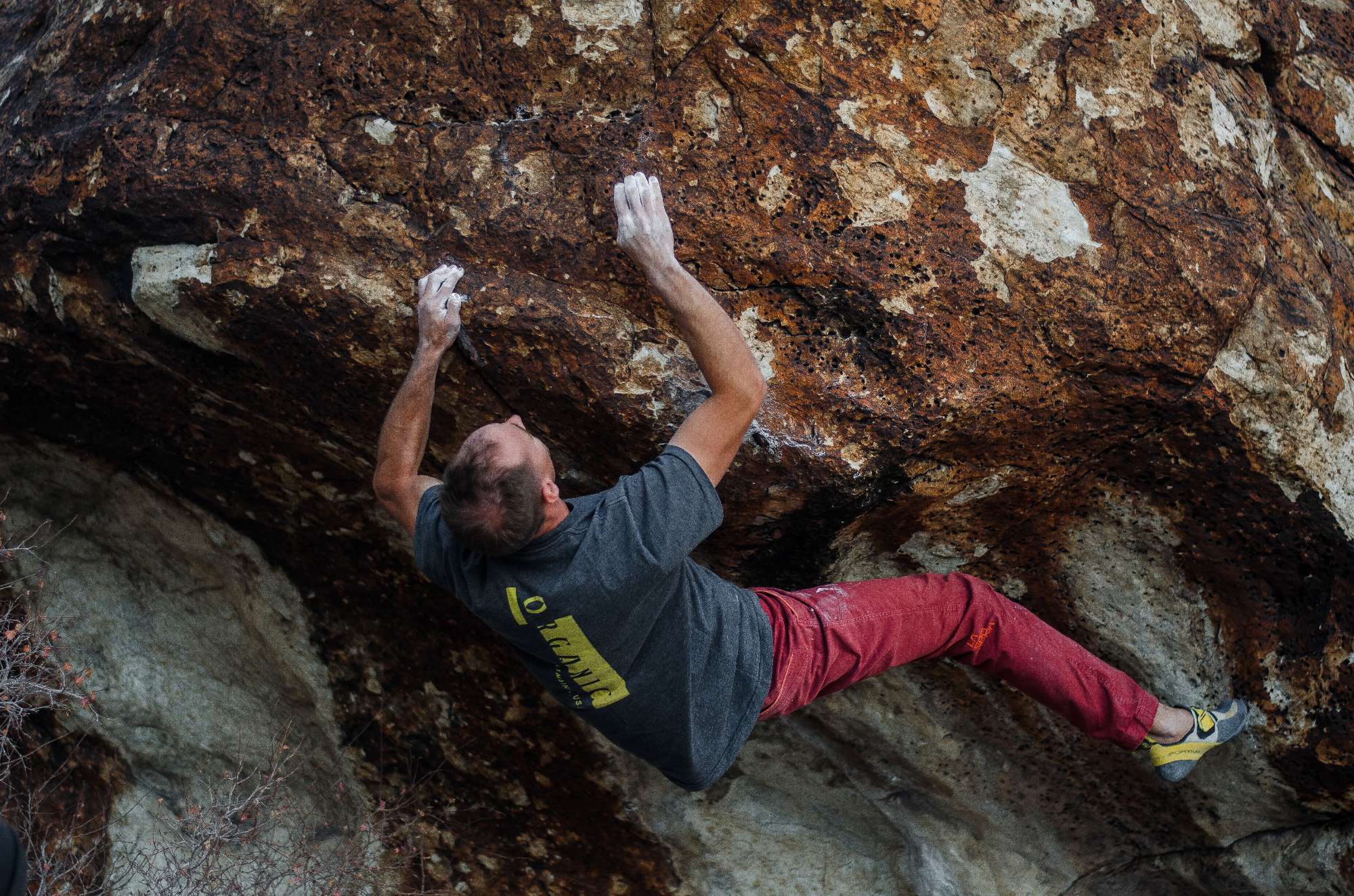
ABOUT The G-Spot

This digital The G-Spot climbing guidebook gives you GPS navigation, verified topos, and beta for hundreds of climbs. Explore classics and hidden gems with offline access to maps, directions, and beta videos. Whether it's your first visit or fiftieth, KAYA makes your The G-Spot days smoother, safer, and more dialed.

Even more remote than Crystal Peak, this area is is filled with tall, sandy boulders. Like Crystal Peak, this area holds a lot of moisture, so most of the rock isn't as quality as the rest of Ibex. However, if you're looking for adventure, you've come to the right place. Please watch out for crypto, as there is a lot of it everywhere. Stay in washes! And watch where you step.

Park at the water trough, hike up the road for a couple hundred feet, and find an old double track road busting off towards the cliffs (there should be a Wilderness Study Area Sign). There are two sand... Show more
This digital The G-Spot climbing guidebook gives you GPS navigation, verified topos, and beta for hundreds of climbs. Explore classics and hidden gems with offline access to maps, directions, and beta videos. Whether it's your first visit or fiftieth, KAYA makes your The G-Spot days smoother, safer, and more dialed. Even more remote than Crystal Peak, this area is is filled with tall, sandy boulders. Like Crystal Peak, this area holds a lot of moisture, so most of the rock isn't as quality as the rest of Ibex. However, if you're looking for adventure, you've come to the right place. Please watch out for crypto, as there is a lot of it everywhere. Stay in washes! And watch where you step. Park at the water trough, hike up the road for a couple hundred feet, and find an old double track road busting off towards the cliffs (there should be a Wilderness Study Area Sign). There are two sand dunes between you and the boulders. It's best to try and hike over the tail ends where they aren't so steep. Follow the double track road until it disappears into the sand. At that point, start hiking overland through the pinyon and juniper forest west towards the cliffs, over two sand dunes. Once you over the second dune, follow the wash west until you get to The G-Spot.

OFFLINE MAPS + APPROACH

Get the full experience in the app.
Download KAYA
WEATHER
SEASON CHART
APPROACH
Forecast for The G-Spot
Powered by the Tomorrow.io Weather API

Areas in Ibex

Explore Ibex from all levels with KAYA PRO. Drill down to the area, subarea, boulder and climb levels. Get approach information for each, and a variety of beta.
Download KAYA

