The Summit Climbing

Last Updated: Aug, 2026
397
Boulders
Guide moderated by Kody Shutt
ABOUT The Summit

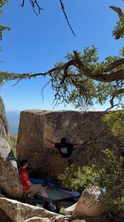
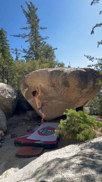
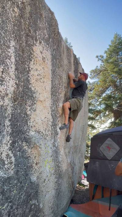
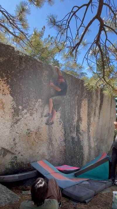
This digital The Summit climbing guidebook gives you GPS navigation, verified topos, and beta for hundreds of climbs. Explore classics and hidden gems with offline access to maps, directions, and beta videos. Whether it's your first visit or fiftieth, KAYA makes your The Summit days smoother, safer, and more dialed.

The Summit consists of any of the areas off the gated Lookout Tower Road(Forest Rte 4S68A) that leads to the lookout tower. The short 3/4 mile hike to the Lookout Tower is worth it just for the amazing views.

After driving up Black Mountain Road for 4.5 miles, follow signs left for Boulder Basin Campground. If the campground is open, there is day use parking* in the campground, however the lot is small and fills up quickly. Please do not park in a campsite unless you paid for it. If the gate is closed or the day use spots are full, there is plenty of parking at numerous pul... Show more
This digital The Summit climbing guidebook gives you GPS navigation, verified topos, and beta for hundreds of climbs. Explore classics and hidden gems with offline access to maps, directions, and beta videos. Whether it's your first visit or fiftieth, KAYA makes your The Summit days smoother, safer, and more dialed. The Summit consists of any of the areas off the gated Lookout Tower Road(Forest Rte 4S68A) that leads to the lookout tower. The short 3/4 mile hike to the Lookout Tower is worth it just for the amazing views. After driving up Black Mountain Road for 4.5 miles, follow signs left for Boulder Basin Campground. If the campground is open, there is day use parking* in the campground, however the lot is small and fills up quickly. Please do not park in a campsite unless you paid for it. If the gate is closed or the day use spots are full, there is plenty of parking at numerous pullouts before the gate to the campground that adds about a half a mile or less of hiking. Before the first campsite there is a road the cuts left uphill to the summit. It is gated, so hike up the road to access any of The Summit areas. *The Forest service has been known to enforce payment in the day use parking. I reccomend checking the signage near campsite 1 for the most up to date info on payment requirements.

OFFLINE MAPS + APPROACH

Get the full experience in the app.
Download KAYA

Recent Ascents in The Summit

KAYA CLIMBER
CLIMB
DETAILS
DATE
ALEX MORIN
@hamslaminyourhamjam
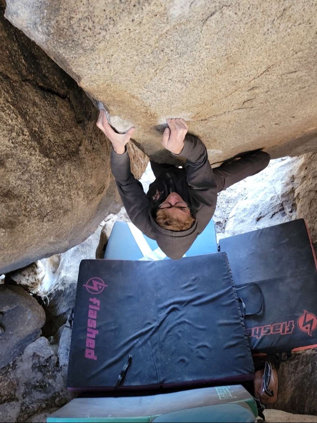
As the Sun Shines Through v9
Not any harder then cracker boy. Blew the flash because heel slipped out. I also had beta and maybe morpho.
★ 4(v9, Soft)
Two Days Ago
CHRISTIAN SANCHEZ
@breakingbeta
Power Shriek v6
I couldn’t sit start it with the compression, so I just matched the right arete. Practically a different line.
(v6, Soft)
8.12.2026
WEATHER
SEASON CHART
APPROACH
Forecast for The Summit
Powered by the Tomorrow.io Weather API

Areas in Black Mountain

Explore Black Mountain from all levels with KAYA PRO. Drill down to the area, subarea, boulder and climb levels. Get approach information for each, and a variety of beta.
Download KAYA