This digital The Hideout climbing guidebook gives you GPS navigation, verified topos, and beta for hundreds of climbs. Explore classics and hidden gems with offline access to maps, directions, and beta videos. Whether it's your first visit or fiftieth, KAYA makes your The Hideout days smoother, safer, and more dialed.
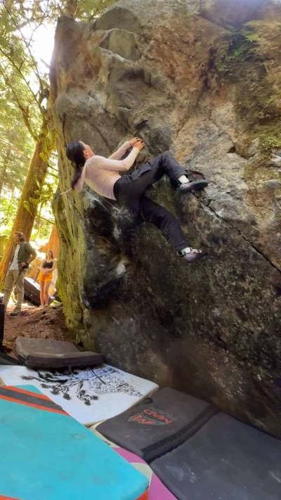
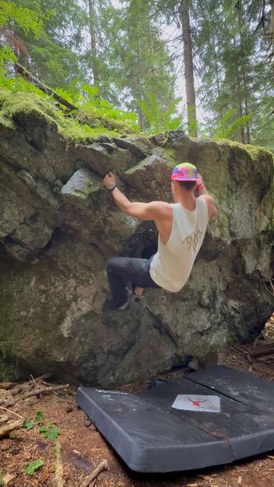
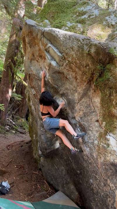
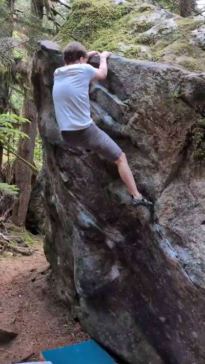
One of the Miller River areas smallest zones, The Hideout is nevertheless a popular spot for the density of problems and the short approach. The Hideout is one of the only spots found on the eastern side of the Miller River and the rock is quite a bit different from the rest of the areas in this valley. The metamorphic rock here is quite a bit less textured than the rest of the granitic areas around but makes for unique hold shapes and interesting problem solving. The Hideout gets it's name from the über-dense forest surrounding the boulders and keeps the area quite cool i... Show more
This digital The Hideout climbing guidebook gives you GPS navigation, verified topos, and beta for hundreds of climbs. Explore classics and hidden gems with offline access to maps, directions, and beta videos. Whether it's your first visit or fiftieth, KAYA makes your The Hideout days smoother, safer, and more dialed.
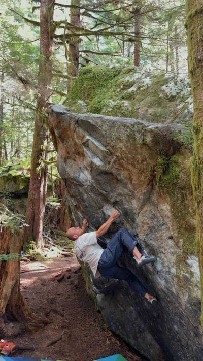
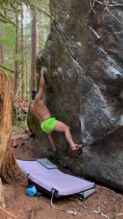
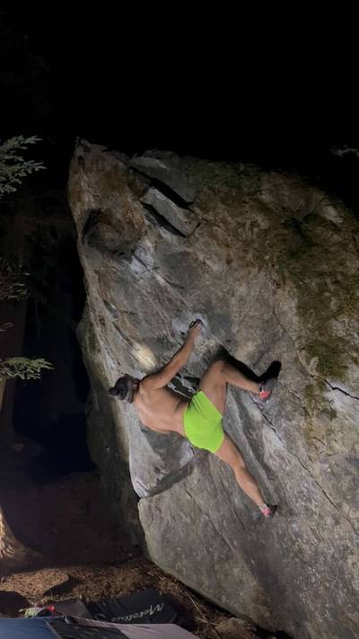
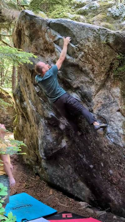
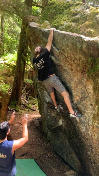
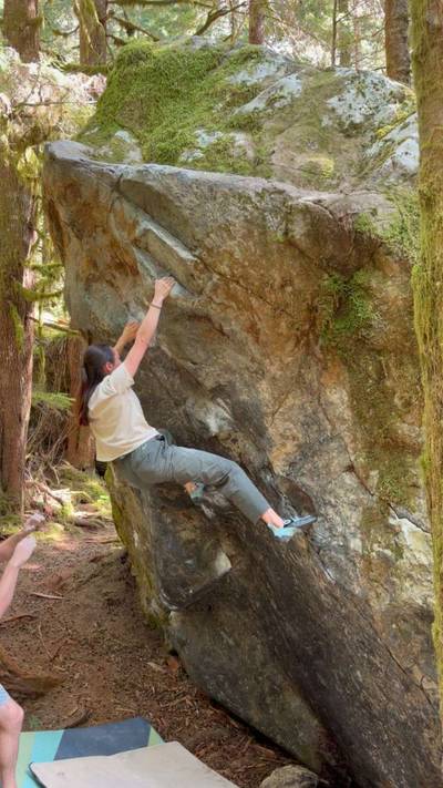
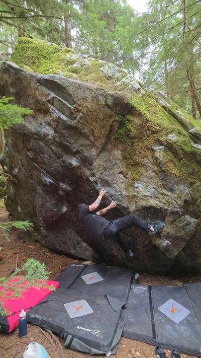
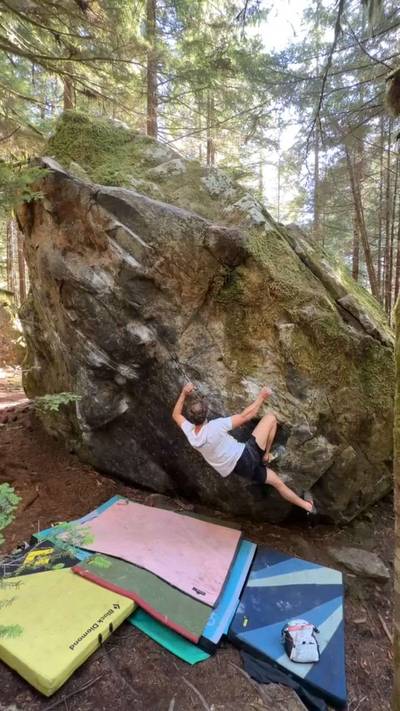
One of the Miller River areas smallest zones, The Hideout is nevertheless a popular spot for the density of problems and the short approach. The Hideout is one of the only spots found on the eastern side of the Miller River and the rock is quite a bit different from the rest of the areas in this valley. The metamorphic rock here is quite a bit less textured than the rest of the granitic areas around but makes for unique hold shapes and interesting problem solving. The Hideout gets it's name from the über-dense forest surrounding the boulders and keeps the area quite cool in the mid summer months. The climbs here tend to take a bit longer to dry after prolonged rain due to the thick canopy overhead. Classics such as Coexist and The Riff are not to be missed here.
Drive 6.0 miles up the Miller River Road and turn left onto an abandoned logging spur road. (Labeled NF-6015 on GPS maps) Park at the end of this short spur road and walk just a minute up the hill and right into the woods to the boulders.
***A washout of the Miller River Road shortly after the Morpheus Area has forced a longer approach. Walking down the road from the furthest Road Closure markings is now mandatory; though all the same coordinates and directions apply.***
Explore Miller River from all levels with KAYA PRO. Drill down to the area, subarea, boulder and climb levels. Get approach information for each, and a variety of beta.