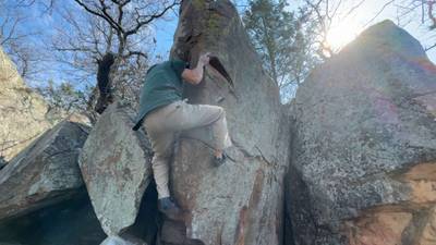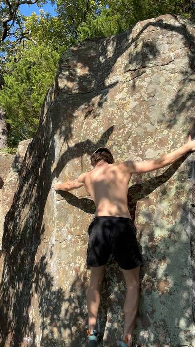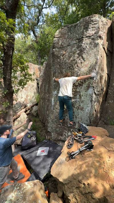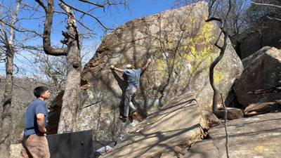
This digital Two Rivers climbing guidebook gives you GPS navigation, verified topos, and beta for hundreds of climbs. Explore classics and hidden gems with offline access to maps, directions, and beta videos. Whether it's your first visit or fiftieth, KAYA makes your Two Rivers days smoother, safer, and more dialed.
Keystone Lake has a lot of different rock outcrops and clifflines, but the Two Rivers area is possibly the best to be discovered yet. Climbers have known about this area for at least a decade before it was developed, but it took signifcant trail development and unearthing dust and dirt to reveal the true worth and quality of this area.
The quality of sandstone at Two Rivers generally rivals the best in the Tulsa area but the quantity of climable sandstone is clearly greater than any other nearby area. In a single season over 75 problems were established, more than has ever ... Show more
This digital Two Rivers climbing guidebook gives you GPS navigation, verified topos, and beta for hundreds of climbs. Explore classics and hidden gems with offline access to maps, directions, and beta videos. Whether it's your first visit or fiftieth, KAYA makes your Two Rivers days smoother, safer, and more dialed.
Keystone Lake has a lot of different rock outcrops and clifflines, but the Two Rivers area is possibly the best to be discovered yet. Climbers have known about this area for at least a decade before it was developed, but it took signifcant trail development and unearthing dust and dirt to reveal the true worth and quality of this area.
The quality of sandstone at Two Rivers generally rivals the best in the Tulsa area but the quantity of climable sandstone is clearly greater than any other nearby area. In a single season over 75 problems were established, more than has ever been established at Shotgun and almost as much as has been established at Zen Pen in a couple decades. Most of the established climbing currently exists at the main area near the north end of the established trails, but there is the extensive North Cliffband a 5 min additional hike from the main area and The Land Beyond an additional 10 minutes or so beyond that. There’s still a lot of rock yet to be established and some tough projects waiting for the right contenders, but most of the easy pickins have been established in the main area.
All the climbing is accessed through the Two Rivers Trail system. The parking lot for the trails is immediately north of the Keystone Dam. The Two Rivers Trail system has been an established hiking and mountain biking for over a decade, but the trails only recently have been developed all the way to the main area.
Accessing the main climbing area is best done by sticking to the main trail and keeping closest to the shoreline. This is typically a 15 minute hike on well established trails. The North Band is an easy 5 minute bushwack across the valley and The Land Beyond is another 10-15 minutes of rough slanted bushwacking to the northwest. However, the entire system is extensive and quite winding. Deviating or wandering uphill to the higher elevation hills can turn a 15 min hike into a 45 min winding trek.
The north cliffband and Having good trail accessibility to one of the main areas was a significant reason a few select locals found the true potential waiting here all along.
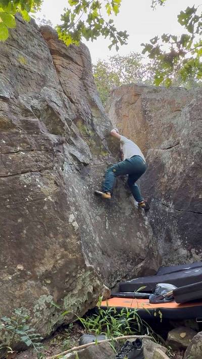
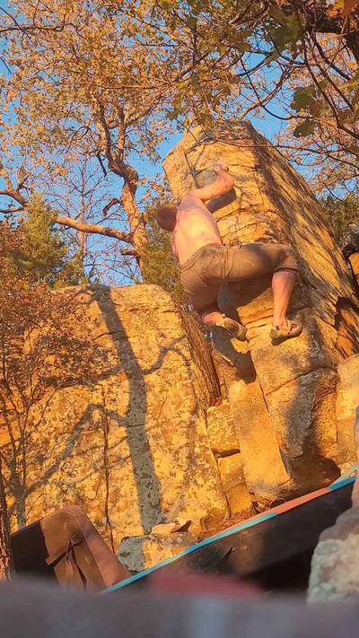
Fun highball crack climb but I feel it deserves an upgrade to V1. An entry level outdoor climber is not going to have the technique or durability to climb it as a conventional finger crack nor the power and technique to climb it as a layback. There's also the mental factor of it being a highball to consider as well.
(v1, Solid)
11.3.2025
Showing results: 1 - 5
WEATHER
SEASON CHART
APPROACH
Forecast for Two Rivers
Areas in Tulsa, OK
Explore Tulsa, OK from all levels with KAYA PRO. Drill down to the area, subarea, boulder and climb levels. Get approach information for each, and a variety of beta.