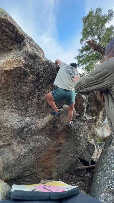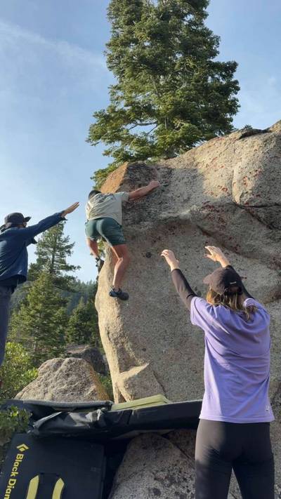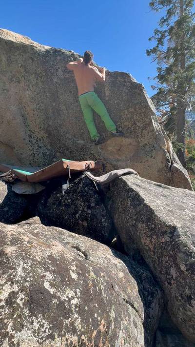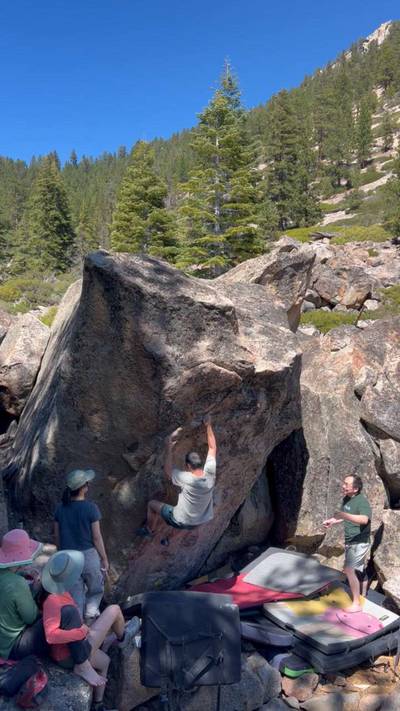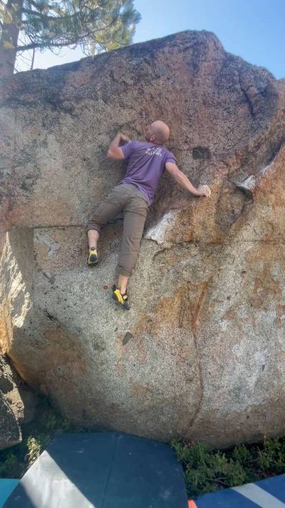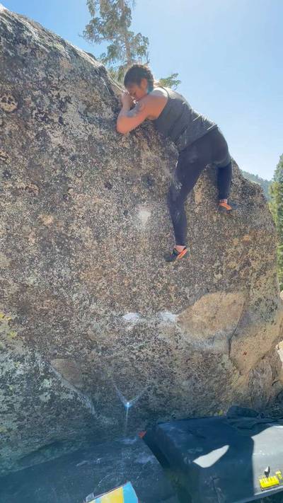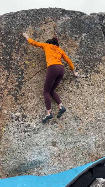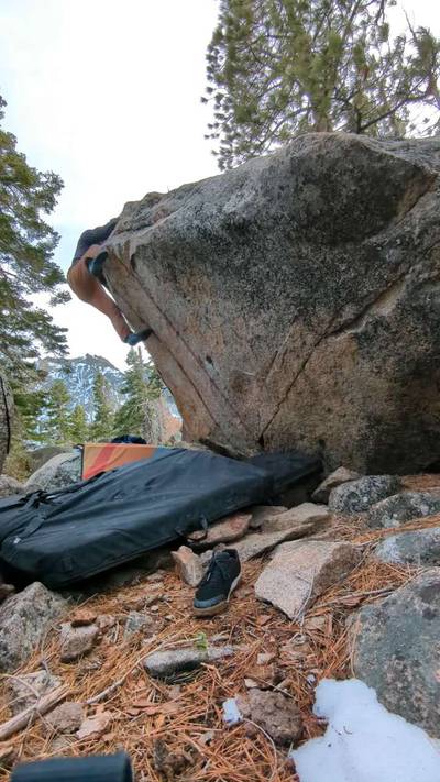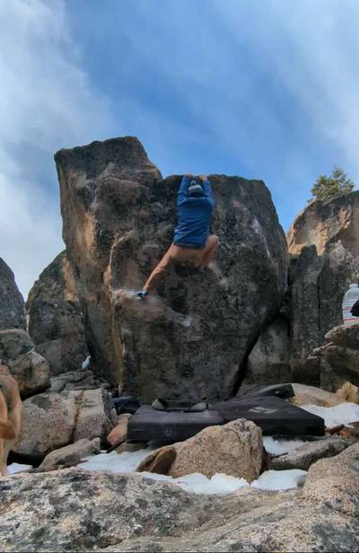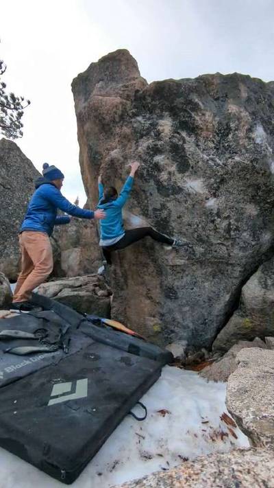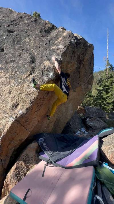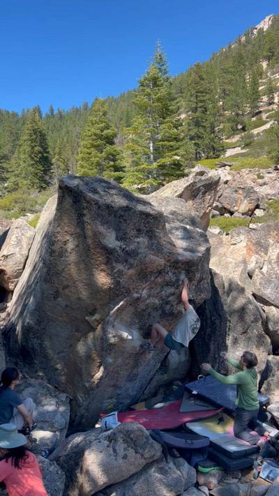
This digital Acorns climbing guidebook gives you GPS navigation, verified topos, and beta for hundreds of climbs. Explore classics and hidden gems with offline access to maps, directions, and beta videos. Whether it's your first visit or fiftieth, KAYA makes your Acorns days smoother, safer, and more dialed.
The Good: Often Climbable in Winter, Easy Approaches, Campground In Boulderfield
The Bad: Road Noise, Chossy At Times
DRIVING: From the “Y” in South Lake Tahoe take Hwy 50 west towards Meyers. Just after going through the agricultural station turn left (south) onto Hwy 89 and go over Luther Pass. At the bottom of the pass at Pickett’s Junction turn left (east) on Hwy 89, heading down into Woodfords Canyon. Reset your odometer here. Drive down the canyon for 2.7 miles and turn left onto a small road. Follow the road over a bridge and park on the right just after the bridge. If you’... Show more
This digital Acorns climbing guidebook gives you GPS navigation, verified topos, and beta for hundreds of climbs. Explore classics and hidden gems with offline access to maps, directions, and beta videos. Whether it's your first visit or fiftieth, KAYA makes your Acorns days smoother, safer, and more dialed.
The Good: Often Climbable in Winter, Easy Approaches, Campground In Boulderfield
The Bad: Road Noise, Chossy At Times
DRIVING: From the “Y” in South Lake Tahoe take Hwy 50 west towards Meyers. Just after going through the agricultural station turn left (south) onto Hwy 89 and go over Luther Pass. At the bottom of the pass at Pickett’s Junction turn left (east) on Hwy 89, heading down into Woodfords Canyon. Reset your odometer here. Drive down the canyon for 2.7 miles and turn left onto a small road. Follow the road over a bridge and park on the right just after the bridge. If you’re coming from the Minden area the turn onto the small road is 2.1 miles up canyon from the Mama Cat Boulder parking area.
APPROACH: Walk downstream, following sometimes faint trails that stay fairly close to the river for 20 minutes until the trail veers left and uphill and goes by a small crag. Continue on the trail, uphill on switchbacks for 15 minutes until the trail levels out on a plateau. You should be looking at a clean white boulder named the “Silver Dollar.” The trail splits right and left here. Cut right (east) for a few minutes to the Main Area or cut left to the West Area.
Explore Lake Tahoe from all levels with KAYA PRO. Drill down to the area, subarea, boulder and climb levels. Get approach information for each, and a variety of beta.