Luther Pass Climbing

Last Updated: Sep, 2026
50
Boulders
Guide moderated by Dave Hatchett

ABOUT Luther Pass

This digital Luther Pass climbing guidebook gives you GPS navigation, verified topos, and beta for hundreds of climbs. Explore classics and hidden gems with offline access to maps, directions, and beta videos. Whether it's your first visit or fiftieth, KAYA makes your Luther Pass days smoother, safer, and more dialed.

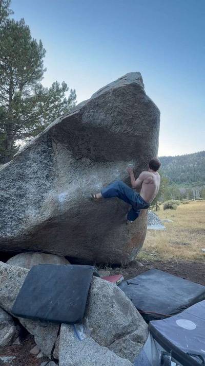
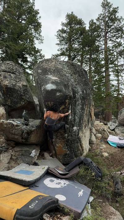
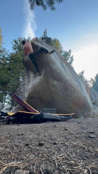
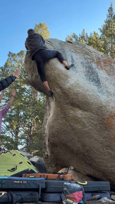
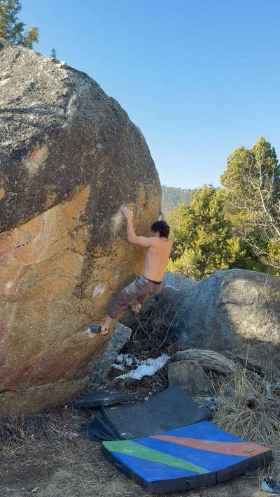
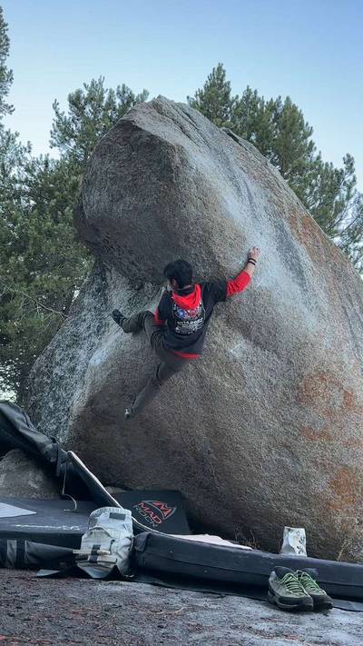
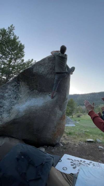
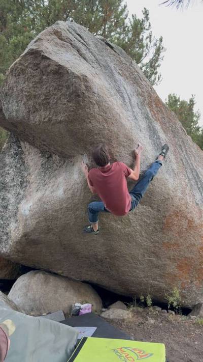
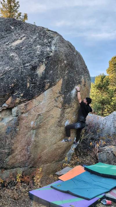
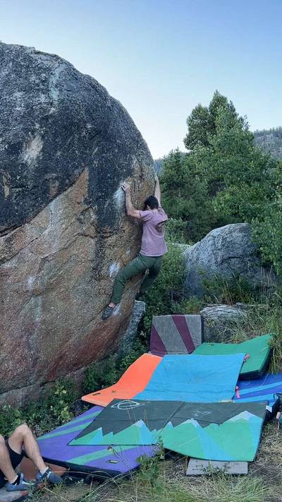
The Luther Pass Boulders feature a nice grouping of midgrade problems on a hillside with nice southern exposure, just minutes from town. It has a casual approach and all the boulders are very close to each other. Sunkist V8 and Nazi Yoga V5/7 are the highlights and certainly worth checking out. To avoid confusion, note that these are the Luther "Pass" Boulders vs The Luther Boulders, which are lower down the pass and closer to South Lake Tahoe.

DRIVING: From South Lake Tahoe head west on Hwy 50 towards Sacramento. Just past the agricultural inspection station turn left on... Show more
This digital Luther Pass climbing guidebook gives you GPS navigation, verified topos, and beta for hundreds of climbs. Explore classics and hidden gems with offline access to maps, directions, and beta videos. Whether it's your first visit or fiftieth, KAYA makes your Luther Pass days smoother, safer, and more dialed. The Luther Pass Boulders feature a nice grouping of midgrade problems on a hillside with nice southern exposure, just minutes from town. It has a casual approach and all the boulders are very close to each other. Sunkist V8 and Nazi Yoga V5/7 are the highlights and certainly worth checking out. To avoid confusion, note that these are the Luther "Pass" Boulders vs The Luther Boulders, which are lower down the pass and closer to South Lake Tahoe. DRIVING: From South Lake Tahoe head west on Hwy 50 towards Sacramento. Just past the agricultural inspection station turn left on Hwy 50/89 south toward Kirkwood and reset your odometer here. Go for 6.6 miles and park on the left in a pullout by the Tahoe Rim Trail trailhead. The pullout is small and comes up fast. Keep an eye out for the blue “Tahoe Rim Trail” sign as a landmark. APPROACH: Hike the Tahoe Rim Trail for about five minutes until you come around a big right hand turn. Here the trail turns from mostly rocky to mainly dirt. Hike for about 75 yds farther until you get past the rocky ridge. At GPS coordinates: N 38 47.798 W 119 58.461, leave the trail and follow the ridgeline up and right (NE) for another five to seven minutes to reach the boulders. When hiking in you’ll see a little cliff band up to your left and then the orange and black Sunkist boulder over to the right.

OFFLINE MAPS + APPROACH

Get the full experience in the app.
Download KAYA

Recent Ascents in Luther Pass

KAYA CLIMBER
CLIMB
DETAILS
DATE
ANTHEA YUR
@ANTHEA
S.W.A.D.O.L.B.W. v7
maybe not the right start but still v good
(v7, Solid)
7.12.2026
REMY SATGER
@remy_sf
Future Present v9
Absolute gem. Glad it went, I didn’t feel the strength/friction to give many good tries at 68F
★ 5(v9, Solid)
5.25.2026
MALACHI STALBERG
@curlynburly
Future Present v9
send train with the lads first day in tahoe
★ 4(v9, Solid)
4.23.2026
WEATHER
SEASON CHART
APPROACH
Forecast for Luther Pass
Powered by the Tomorrow.io Weather API