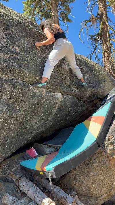
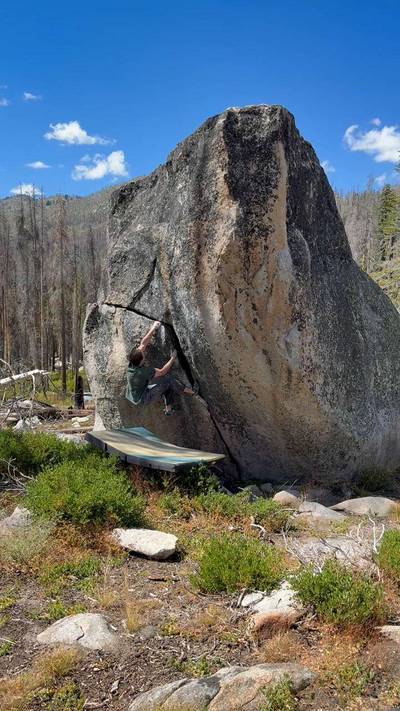
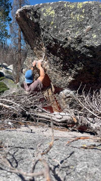
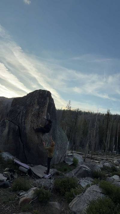
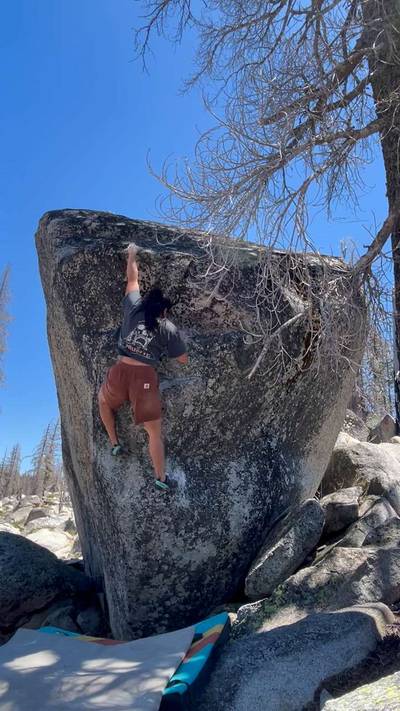
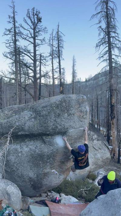
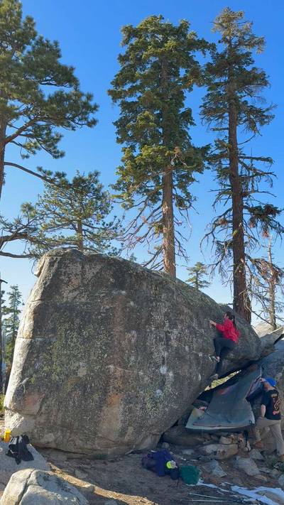
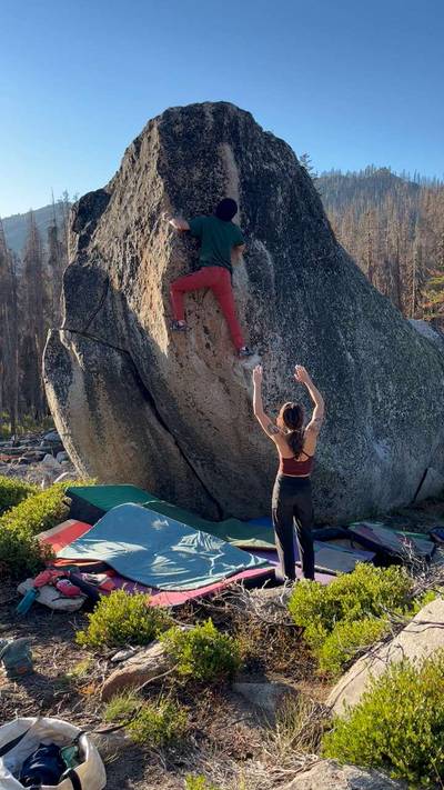
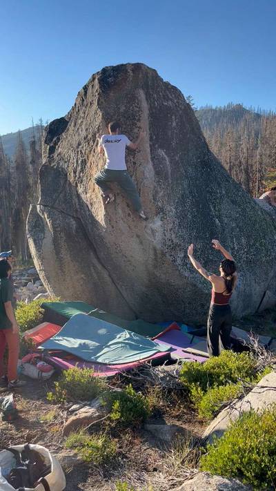
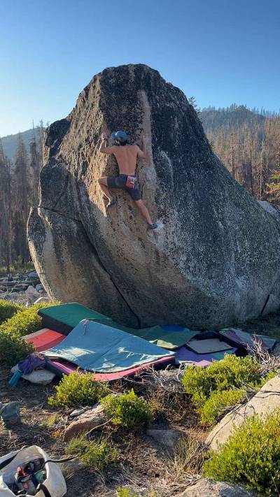
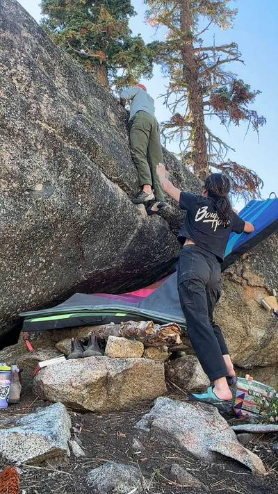
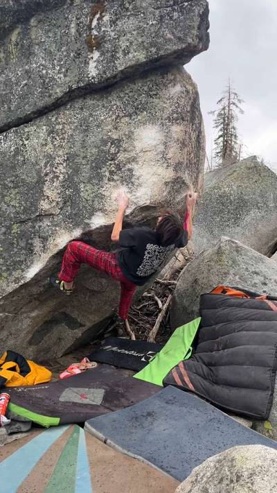
This digital Lake Audrain climbing guidebook gives you GPS navigation, verified topos, and beta for hundreds of climbs. Explore classics and hidden gems with offline access to maps, directions, and beta videos. Whether it's your first visit or fiftieth, KAYA makes your Lake Audrain days smoother, safer, and more dialed.

The Good: Some Excellent Boulders, Fairly Concentrated, Few Crowds
The Bad: Bugs, Sub areas widely spaced

DRIVING: From South Lake Tahoe head west up Echo Summit on Hwy 50. 4.5 miles from the Hwy 50/89 intersection there is a big pullout on the left (south) side of the road, the shared parking for Camouflage Forest. There can be a lot of traffic here, so it’s usually best to go a little farther (0.5 miles) to the Johnson Pass cutoff, turn around, and come back to park.
From Sacramento park on the right in a big pullout, 0.5 miles past the left turn to Echo Lakes/Johnso... Show more
This digital Lake Audrain climbing guidebook gives you GPS navigation, verified topos, and beta for hundreds of climbs. Explore classics and hidden gems with offline access to maps, directions, and beta videos. Whether it's your first visit or fiftieth, KAYA makes your Lake Audrain days smoother, safer, and more dialed.
The Good: Some Excellent Boulders, Fairly Concentrated, Few Crowds
The Bad: Bugs, Sub areas widely spaced
DRIVING: From South Lake Tahoe head west up Echo Summit on Hwy 50. 4.5 miles from the Hwy 50/89 intersection there is a big pullout on the left (south) side of the road, the shared parking for Camouflage Forest. There can be a lot of traffic here, so it’s usually best to go a little farther (0.5 miles) to the Johnson Pass cutoff, turn around, and come back to park.
From Sacramento park on the right in a big pullout, 0.5 miles past the left turn to Echo Lakes/Johnson Pass, before the top of Echo Summit.
APPROACH: Just below the pullout a road crosses a stream and goes past a gate. Don’t be tempted to drive this, it will probably be locked when you try to leave. Hike the road, marked “Scotts Peak/American Tower.” After 200 yds you will pass a trail on your left with Echo Summit/Pony Express Trail (XP) signs. This leads uphill to the 0-1-2-3 Boulder and Beastmaker. Continue on the road for another 7-10 minutes and the Central Area will be up to your left (to the east). A faint trail by a small pullout goes uphill just before the good sized Paul Bunyan boulder and leads to a good concentration of rock. Go another 3-5 minutes down the road (15 minutes from the highway), and just before the road levels out by the lake, take the hard to spot trail off left. You’ll find the Touched by a Tree boulder 75 yds to the east, and the other Lakeside Boulders farther down the trail.
Explore Lake Tahoe from all levels with KAYA PRO. Drill down to the area, subarea, boulder and climb levels. Get approach information for each, and a variety of beta.