Flagpole Peak Climbing

Last Updated: Aug, 2026
60
Boulders
Guide moderated by Dave Hatchett
ABOUT Flagpole Peak

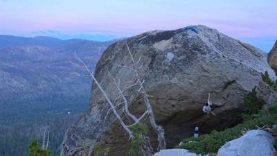
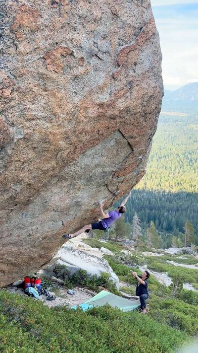
This digital Flagpole Peak climbing guidebook gives you GPS navigation, verified topos, and beta for hundreds of climbs. Explore classics and hidden gems with offline access to maps, directions, and beta videos. Whether it's your first visit or fiftieth, KAYA makes your Flagpole Peak days smoother, safer, and more dialed.

The Good: Outstanding Views And Setting, Beautiful Boulders, No Crowds The Bad: Exposed, Crowded Parking, Busy Approach Trail, Variable Rock Quality

DRIVING: From the South Lake Tahoe intersection of Hwy 50/89, head west toward Sacramento. After 2.7 miles take a right on Johnson Pass Road before you reach Echo Summit. Locals really haul on this bypass so pay attention here. Go 0.7 miles and take a right on Echo Lake Road. The main parking area is 0.9 miles up the narrow road, just above the lake. 
From Sacramento, go 1.8 miles past the entrance to the Sierra-at-Tahoe ... Show more
This digital Flagpole Peak climbing guidebook gives you GPS navigation, verified topos, and beta for hundreds of climbs. Explore classics and hidden gems with offline access to maps, directions, and beta videos. Whether it's your first visit or fiftieth, KAYA makes your Flagpole Peak days smoother, safer, and more dialed. The Good: Outstanding Views And Setting, Beautiful Boulders, No Crowds The Bad: Exposed, Crowded Parking, Busy Approach Trail, Variable Rock Quality DRIVING: From the South Lake Tahoe intersection of Hwy 50/89, head west toward Sacramento. After 2.7 miles take a right on Johnson Pass Road before you reach Echo Summit. Locals really haul on this bypass so pay attention here. Go 0.7 miles and take a right on Echo Lake Road. The main parking area is 0.9 miles up the narrow road, just above the lake. From Sacramento, go 1.8 miles past the entrance to the Sierra-at-Tahoe resort and take a left on the Echo Lake/Johnson Pass Road. Go 0.6 miles and take a left on Echo Lake Road. Go 0.9 miles to the main parking area. APPROACH: From the parking lot follow the road for 200 yds down to the seasonal store by the lake. Go past the store, cross the dam and join the Pacific Crest Trail that wanders a bit before heading north along the lakeshore. After twenty minutes of flat hiking, you will be above some lakeside cabins. 25 yards past the second cabin (N38 50.402, W120 03.165), cut uphill to the right. Five minutes up the slabs, trending a little left, a tall windswept pine leads the way to the boulder field. The Chicken Boulder will be on the right, and just uphill on the left is Working Act.

OFFLINE MAPS + APPROACH

Get the full experience in the app.
Download KAYA

Recent Ascents in Flagpole Peak

KAYA CLIMBER
CLIMB
DETAILS
DATE
JAMES FLAMINO
@Aganonce
Growing Concern v7
Ground up ascent. Had to fully commit just to barely hit the bottom of the crux hold, but man, what a line.
★ 5(v7, Solid)
8.1.2026
VINCENT KHUU
@vincentk
Growing Concern v7
Essentially a committing one mover high’ish up, easier if you have reach. Amazing boulder!
★ 5(v7, Solid)
9.1.2025
Private User
---
Growing Concern v7
One committing move surrounded by a bunch of easier moves on incut full pad+ edges. V7/8R. Also available on top rope for those who are hesitant (there are 2 bolts at the top)
★ 5(v8, Solid)
6.12.2021
Private User
---
Growing Concern v7
★ 4(v8, Solid)
6.4.2021
WEATHER
SEASON CHART
APPROACH
Forecast for Flagpole Peak
Powered by the Tomorrow.io Weather API