Burnside Lake Climbing

Last Updated: Aug, 2026
109
Boulders

ABOUT Burnside Lake

This digital Burnside Lake climbing guidebook gives you GPS navigation, verified topos, and beta for hundreds of climbs. Explore classics and hidden gems with offline access to maps, directions, and beta videos. Whether it's your first visit or fiftieth, KAYA makes your Burnside Lake days smoother, safer, and more dialed.

Highways 88 and 89 intersect at Pickett's Junction south of South Lake Tahoe. If you go straight through the intersection, you will be on the dirt Forest Service Road to Burnside Lake. Most cars can make it up this road, it's just a little rough. Burnside Lake is around 8200' in elevation, so think of this area as high and dry. The upper areas have a subalpine Eastern Sierra feel to them. Come here when it's too hot in the Lake Tahoe basin, or thunderstorming in more western slope spots like The Ghosts, Erratica, or Echo Summit. Keep in mind though that the midsummer s... Show more
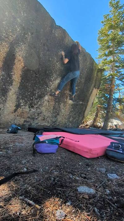
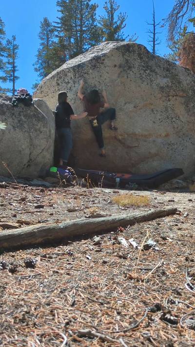
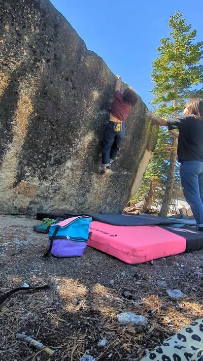
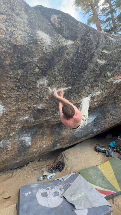
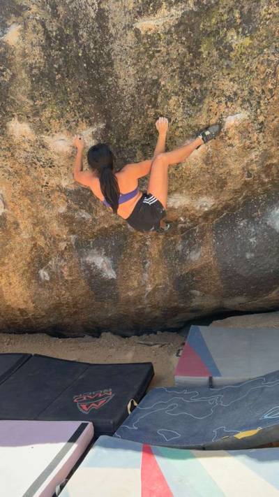
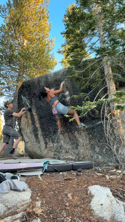
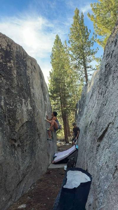
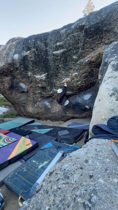
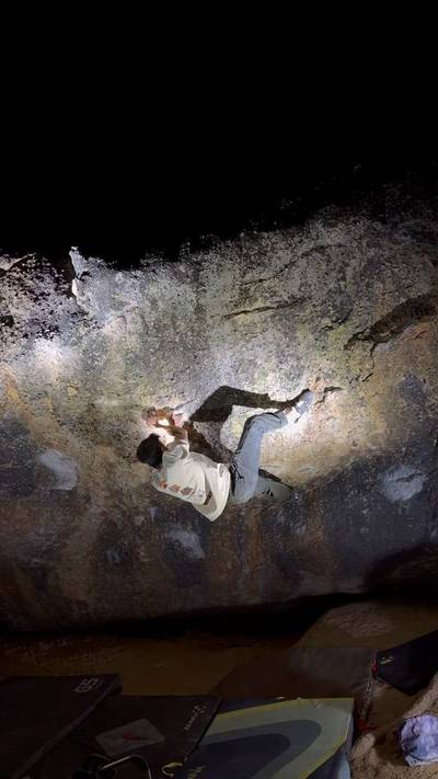
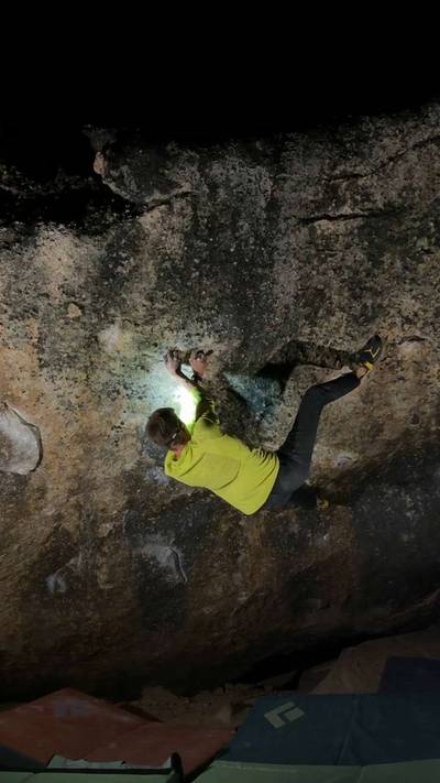
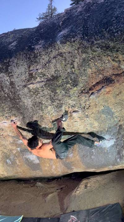
This digital Burnside Lake climbing guidebook gives you GPS navigation, verified topos, and beta for hundreds of climbs. Explore classics and hidden gems with offline access to maps, directions, and beta videos. Whether it's your first visit or fiftieth, KAYA makes your Burnside Lake days smoother, safer, and more dialed. Highways 88 and 89 intersect at Pickett's Junction south of South Lake Tahoe. If you go straight through the intersection, you will be on the dirt Forest Service Road to Burnside Lake. Most cars can make it up this road, it's just a little rough. Burnside Lake is around 8200' in elevation, so think of this area as high and dry. The upper areas have a subalpine Eastern Sierra feel to them. Come here when it's too hot in the Lake Tahoe basin, or thunderstorming in more western slope spots like The Ghosts, Erratica, or Echo Summit. Keep in mind though that the midsummer sun here can be pretty intense. The bouldering on Burnside Lake Road offers a selection of high-quality boulder problems with flat landings suiting a wide range of climbers. There are a couple of nice boulders in the very first meadow on the southern edge of Hope Valley, only a couple of minutes walk from the highway. A little farther up the road are the Lost and Found Boulders with its collection of classic problems. Then there are the Burnside Lake, and Lucid Dream Wall/White Tree areas. These areas feature fantastic Tuolumne Meadows like knob problems concentrated in the midgrades, with a bonus classic fingery V10 thrown in at both spots. Then you get the gaping maw of the Whale Shark with it's concentration of overhanging double digit problems, and it's neighbor, Goliath, with a golden patina face. Finally, you get to the end of the road at Burnside Lake where you'll find the unusual Wicket. There is good camping along the road with some really nice spots right on Burnside Lake. The lake itself is about 5.7 miles in and can get very tannic and dark like well steeped tea, so bring your own water. The lake was named after General Ambrose Burnsides, the man whose robust mutton chops inspired the term "sideburns." From the intersection of Hwy 50/89 in Meyers, take Hwy 89 south over Luther Pass for 11 miles to Pickett's Junction. Go straight through the intersection onto the Forest Service Road to Burnside Lake. All the climbing areas are along this road, mostly toward its end at Burnside Lake. Lost and Found is 1.3 miles up the road, behind a mound of rock above a parking spot on the left. It's a little easier hiking to the right around the mound. The huge split boulder is right behind it. The Burnside and Lucid Dream Wall/White Tree Boulders are best accessed off a spur road that runs a couple hundred yards off of Burnside Lake Road. When the road takes a sharp right turn just before the lake (5.3 miles up), a rough dirt 4x4 road takes off left. It's best to park by the curve and hike up the short closed rough road. If the few spots here are taken, just park at The Wicket and hike the few minutes back. For the Whale Shark and Goliath, go 5.5 miles up Burnside Lake Road (0.2 miles past Burnside boulders parking) and take the side road 205b to your right. Go 0.1 miles and park before the road turns uphill to the right.

OFFLINE MAPS + APPROACH

Get the full experience in the app.
Download KAYA
WEATHER
SEASON CHART
APPROACH
Forecast for Burnside Lake
Powered by the Tomorrow.io Weather API

Areas in Lake Tahoe

Explore Lake Tahoe from all levels with KAYA PRO. Drill down to the area, subarea, boulder and climb levels. Get approach information for each, and a variety of beta.
Download KAYA