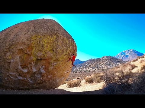
This digital Legoland climbing guidebook gives you GPS navigation, verified topos, and beta for hundreds of climbs. Explore classics and hidden gems with offline access to maps, directions, and beta videos. Whether it's your first visit or fiftieth, KAYA makes your Legoland days smoother, safer, and more dialed.

The Good: Huge Boulders, Concentrated, Epic Problems, Remote
The Bad: Very Long Approach, Rattlesnakes, Bugs, Short Season

DRIVING: From the “Y” in South Lake Tahoe take Hwy 50 west towards Meyers. Just after going through the agricultural station turn left onto Hwy 89 and go over Luther Pass. At the bottom of the pass at Pickett’s Junction turn right on Hwy 88 and continue for 2.5 miles until you see the turnoff for Blue Lakes on your left. Take Blue Lake road for 10.9 miles to a stop sign. Turn left toward Meadow Lake and after 0.1 miles take an immediate right on Forest Road... Show more
This digital Legoland climbing guidebook gives you GPS navigation, verified topos, and beta for hundreds of climbs. Explore classics and hidden gems with offline access to maps, directions, and beta videos. Whether it's your first visit or fiftieth, KAYA makes your Legoland days smoother, safer, and more dialed.
The Good: Huge Boulders, Concentrated, Epic Problems, Remote
The Bad: Very Long Approach, Rattlesnakes, Bugs, Short Season
DRIVING: From the “Y” in South Lake Tahoe take Hwy 50 west towards Meyers. Just after going through the agricultural station turn left onto Hwy 89 and go over Luther Pass. At the bottom of the pass at Pickett’s Junction turn right on Hwy 88 and continue for 2.5 miles until you see the turnoff for Blue Lakes on your left. Take Blue Lake road for 10.9 miles to a stop sign. Turn left toward Meadow Lake and after 0.1 miles take an immediate right on Forest Road 9N01 and reset your odometer here. Go for 2.1 miles on a 4WD road and park at the end of the road above Meadow Lake. Now it’s party time.
APPROACH: Walk on the main trail toward Meadow Lake for 2 minutes and at the bottom of the 2nd short downhill cut right down a steep gully to the creek. Cross the creek and follow the marked trail along the right (NW) side of Meadow Lake for 30 minutes until you arrive almost at the dam. In the fall during low water, simply walk the shoreline along the high water line instead of the trail for a much easier approach.
Just before the dam cut right (uphill) and parallel the left side of the creek closest to the dam, keeping rock slabs on your left. Again the trail should be marked by cairns. Walk up the gully, paralleling the creek for 10 minutes until small boulders start to appear. Continue for 5 more minutes until you run into a fairly steep hillside covered in small cliff walls. From here the creek turns right (NE). Parallel the creek again, staying on its left side, walking up a gully/shallow meadow for 10 minutes until you arrive in a big open meadow. Walk about 1/3 of the way along the open meadow (200 yds) and look for a marked trail on your left. Skirt up and right along the steep hillside, paralleling the meadow and staying below the cliffs for 10 minutes until your arrive in a saddle. Cut left (west) into the saddle/gully when you see a 25 foot tall slab wall on your right. Continue west through the gully, keeping slabs on your right for 15 minutes until you arrive in an open area. From here you will see a grassy meadow down and left and a steep 50 ft cliff on a dome out and right. Legoland sits just below this cliff. Follow cairns for another 10 minutes to the boulders.
Explore Lake Tahoe from all levels with KAYA PRO. Drill down to the area, subarea, boulder and climb levels. Get approach information for each, and a variety of beta.