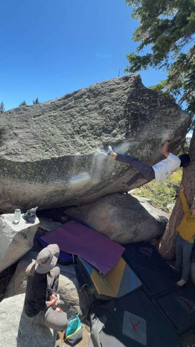
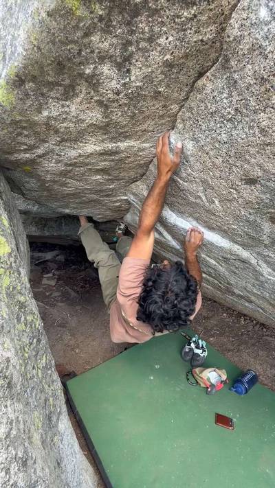
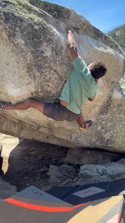
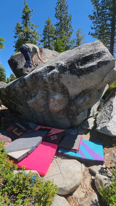
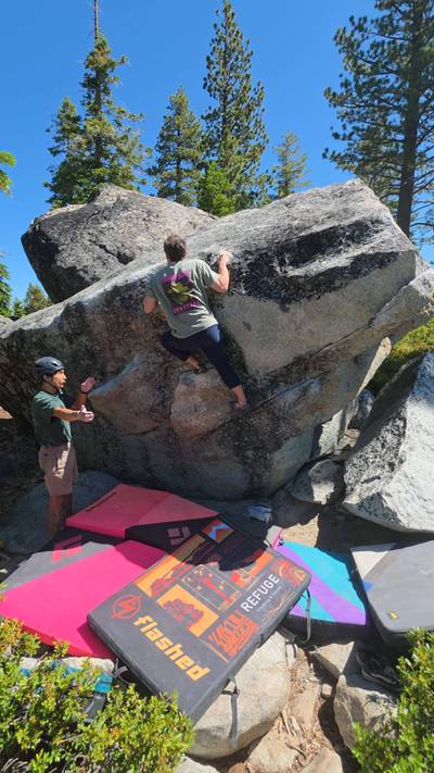
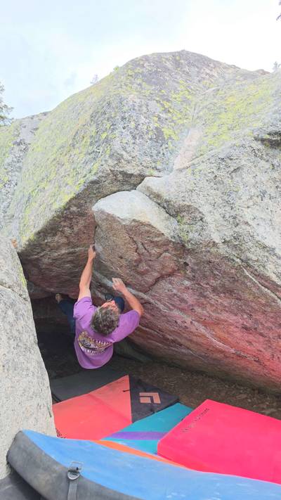
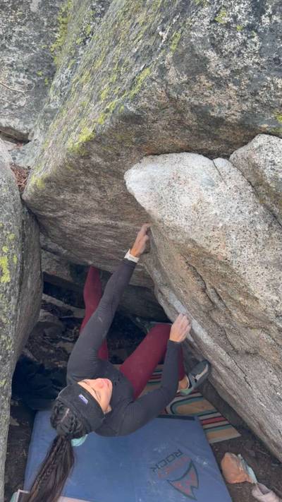
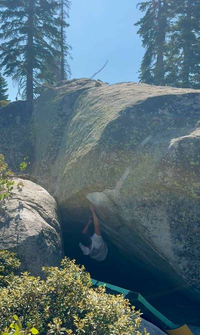
Attention PCT Boulders climbers! Cabin residents in the area have recently complained about late-night noise and lights from climbers at the PCT Boulders. If these impacts continue, there is a threat that the access gate will be locked to the public.
Climbing access at the PCT Boulders and throughout the Tahoe Basin depends on climbers being good neighbors and stewards. Help us protect access to our shared resources by keeping noise and visual impacts to a minimum and being considerate of nearby residents.
ABOUT PCT Boulders
This digital PCT Boulders climbing guidebook gives you GPS navigation, verified topos, and beta for hundreds of climbs. Explore classics and hidden gems with offline access to maps, directions, and beta videos. Whether it's your first visit or fiftieth, KAYA makes your PCT Boulders days smoother, safer, and more dialed.

The Good: Roadside, Nice setting, Select Quality Boulders The Bad: Hard To Navigate Talus Field, Little Shade In Summer, Seasonally Buggy

DRIVING: From the South Lake Tahoe junction of Hwy 50/89, go west heading up Echo Summit toward Sacramento. You’ll pass the approach road on your left at the very summit, but it might be safer to and go on up the road, and take a right and then turn around and double back. To do this, go 3.9 miles west up Hwy 50 from the junction of Hwy 50/89 and turn right by the CalTrans Maintenance Station. Turn around and head back east on Hwy 50 ... Show more
This digital PCT Boulders climbing guidebook gives you GPS navigation, verified topos, and beta for hundreds of climbs. Explore classics and hidden gems with offline access to maps, directions, and beta videos. Whether it's your first visit or fiftieth, KAYA makes your PCT Boulders days smoother, safer, and more dialed.
The Good: Roadside, Nice setting, Select Quality Boulders The Bad: Hard To Navigate Talus Field, Little Shade In Summer, Seasonally Buggy
DRIVING: From the South Lake Tahoe junction of Hwy 50/89, go west heading up Echo Summit toward Sacramento. You’ll pass the approach road on your left at the very summit, but it might be safer to and go on up the road, and take a right and then turn around and double back. To do this, go 3.9 miles west up Hwy 50 from the junction of Hwy 50/89 and turn right by the CalTrans Maintenance Station. Turn around and head back east on Hwy 50 for 0.1 miles, and take a right immediately after the “5% grade next 4 miles” sign on a very inconspicuous Forest Service road with an “Echo Summit Recreation Residence Tract” sign. Follow this gravel road up 0.3 miles and park near the small green water tower. Please don’t park in the spots marked for the cabins. If the few spots are all taken here, there is plenty of more parking 100 yds back down the road toward the highway.
From Sacramento, at the very top of Echo Summit on Hwy 50, 0.2 miles past the Adventure Mountain snow play area (Benwood Meadows parking), take a right immediately after the “5% grade next 4 miles” sign, then follow the South Lake Tahoe directions.
APPROACH: Follow the well established hiking trail (the old PCT) heading south from the parking spots by the water tower, and you’ll immediately pass by The Balanced Boulder on your right and see the tall Rope Swing Boulder 50 yds ahead on the left side of the trail. Head toward The Rope Swing and just before it a trail cuts left into the heart of the Main Area.
To get to the Rock Garden you can go past The Rope Swing Boulder (on your left) on the hiking trail and continue on for 15-20 yds, then cut straight downhill (west) on a faint trail. This leads straight past a single towering pine tree, and runs into two landmarks: the Skateboard Boulder 50 yds below, and the orange IX boulder another 30 yds below that.
Explore Lake Tahoe from all levels with KAYA PRO. Drill down to the area, subarea, boulder and climb levels. Get approach information for each, and a variety of beta.