Only use the existing trail system. Camping is not allowed. No alcoholic beverages. Please be respectful of local residents - keep a low profile in the parking lot, keep the noise down and drive slowly on the road. Do not turn into driveways of nearby homes to turn around. Any commercial guiding outfit wishing to guide at Big Rock Mountain must obtain permission from the landowners, Naturaland Trust.
ABOUT Big Rock, SC
This digital Big Rock, SC climbing guidebook gives you GPS navigation, verified topos, and beta for hundreds of climbs. Explore classics and hidden gems with offline access to maps, directions, and beta videos. Whether it's your first visit or fiftieth, KAYA makes your Big Rock, SC days smoother, safer, and more dialed.

Located near Pickens, SC, and owned by Naturaland Trust, Big Rock is the only significant cliff open year-round in SC. Naturaland Trust purchased the 1,648-acre property in 2013. Through a partnership with Naturaland Trust, the Carolina Climbers Coalition was able to officially open this wonderful place to climbers in 2017.

Big Rock faces south and is primarily a Spring/Fall/Winter destination. In 2017, the CCC funded part of the current parking lot construction thanks to a grant from REI. In 2019, the CCC contributed $5,000 to Naturaland Trust to secure a 1-acre lot no... Show more
This digital Big Rock, SC climbing guidebook gives you GPS navigation, verified topos, and beta for hundreds of climbs. Explore classics and hidden gems with offline access to maps, directions, and beta videos. Whether it's your first visit or fiftieth, KAYA makes your Big Rock, SC days smoother, safer, and more dialed.
Located near Pickens, SC, and owned by Naturaland Trust, Big Rock is the only significant cliff open year-round in SC. Naturaland Trust purchased the 1,648-acre property in 2013. Through a partnership with Naturaland Trust, the Carolina Climbers Coalition was able to officially open this wonderful place to climbers in 2017.
Big Rock faces south and is primarily a Spring/Fall/Winter destination. In 2017, the CCC funded part of the current parking lot construction thanks to a grant from REI. In 2019, the CCC contributed $5,000 to Naturaland Trust to secure a 1-acre lot north of the new parking lot, creating a buffer for expanded access.
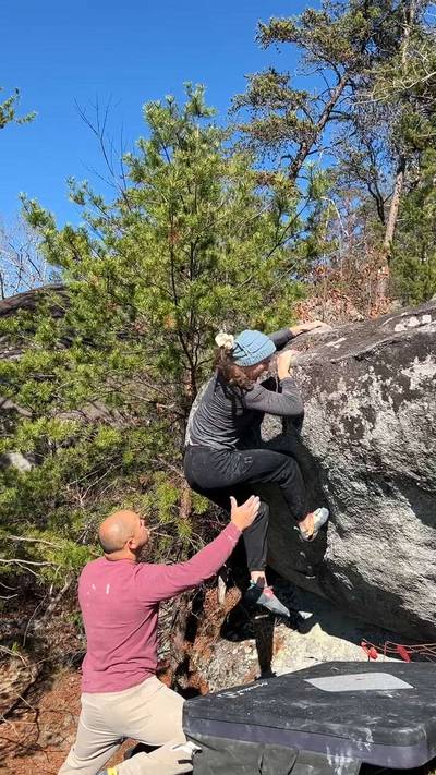
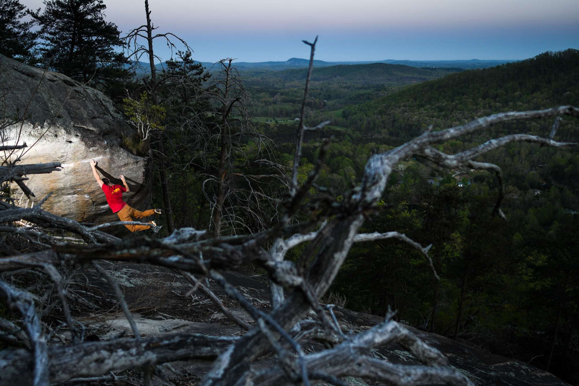
There are around 50 routes and several hundred boulder problems spread out across the pinnacles and boulderfields, all overlooking upstate SC. All guidebook author proceeds for this KAYA guide are donated directly to the Carolina Climbers Coalition.
Please support this organization, become a member, and join a trail day! You can donate to Naturaland Trust's work at www.naturalandtrust.org
Main Parking Area: The gravel parking lot with a paved entrance on Big Rock Lake Road, Pickens, SC. It is labeled with a ""P"" on a post on the road and is located just past Charles Towne Rd. DO NOT PARK ON THE ROAD IF PARKING IS FULL!!! DO NOT PULL DOWN CHARLES TOWNE RD! The CCC funded part of the parking lot thanks to grants Trailhead location from REI and help from Naturaland Trust. Follow the trails from the lot to the cliff and the boulders.
Alternative Parking: If you discover that the Main Parking lot is full, exit the neighborhood and drive to the intersection of Preston McDaniel Road and Nine Times Road. Here there is a gravel parking lot and a large grassy lot.
From the alternate parking lot, walk across E Preston McDaniel rd and follow the gravel road for 0.1 mile. Once you are beneath the power lines look for a trail sign on the right side of the road. Take the path to the right to begin the Big Rock Mtn Summit trail, which has green blazes.Follow the obvious trail with green blazes uphill for 0.4 miles to reach an old logging road. Continue to follow the green blazes on the logging road for 0.2 miles. At the next trail sign, make a right turn to continue on the Big Rock Mtn Summit trail. Continue to follow the green blazes for 0.1 mile to reach the left shoulder of big rock, near the inversion wall. ~1.25 miles
Explore Big Rock, SC from all levels with KAYA PRO. Drill down to the area, subarea, boulder and climb levels. Get approach information for each, and a variety of beta.