Lower Chaos Climbing

Last Updated: Aug, 2026
112
Boulders
Guide moderated by Jamie Emerson

ABOUT Lower Chaos

This digital Lower Chaos climbing guidebook gives you GPS navigation, verified topos, and beta for hundreds of climbs. Explore classics and hidden gems with offline access to maps, directions, and beta videos. Whether it's your first visit or fiftieth, KAYA makes your Lower Chaos days smoother, safer, and more dialed.

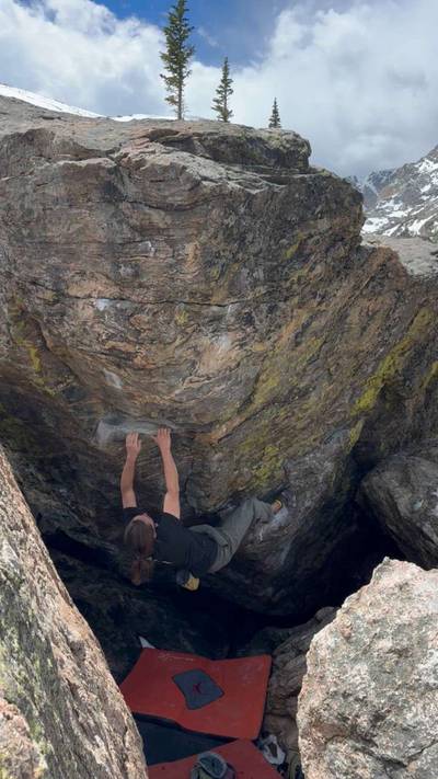
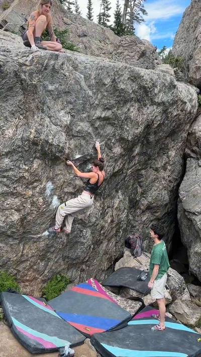
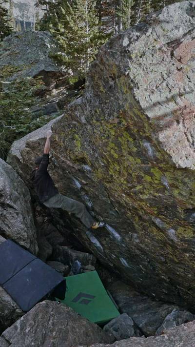
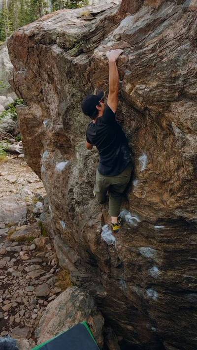
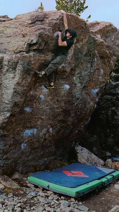
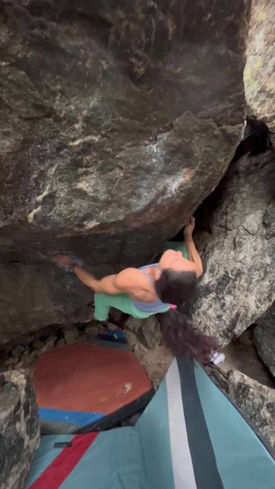
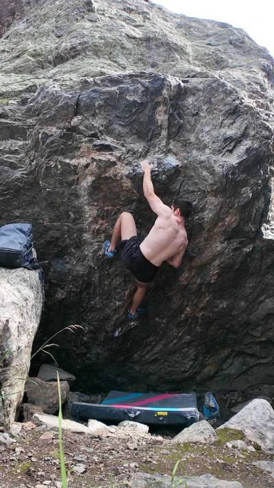
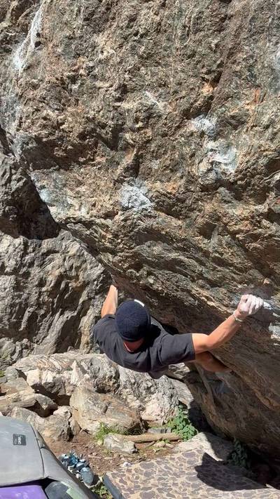
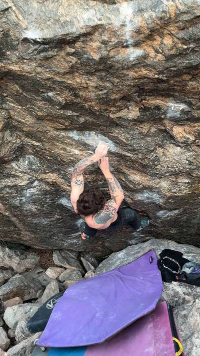
This was the first cluster of boulders discovered by Mike Caldwell in 1998 and saw major development mostly by Tommy Caldwell, Dave Graham, Chad Greedy, Brian Capps, Herm Feissner, Nick Sagar, Dean Potter, and Luke Parady from 1999 to 2001. Perfectly polished gneiss, on the shores of Lake Haiyaha, makes this one of the most popular destinations in Colorado. Longs Peak (elevation 14,259 ft), the highest point in RMNP, looms over the boulderfield.
Season: The boulders in Lower Chaos are usually climbable starting in the beginning of June. The snow drifts in this area are par... Show more
This digital Lower Chaos climbing guidebook gives you GPS navigation, verified topos, and beta for hundreds of climbs. Explore classics and hidden gems with offline access to maps, directions, and beta videos. Whether it's your first visit or fiftieth, KAYA makes your Lower Chaos days smoother, safer, and more dialed. This was the first cluster of boulders discovered by Mike Caldwell in 1998 and saw major development mostly by Tommy Caldwell, Dave Graham, Chad Greedy, Brian Capps, Herm Feissner, Nick Sagar, Dean Potter, and Luke Parady from 1999 to 2001. Perfectly polished gneiss, on the shores of Lake Haiyaha, makes this one of the most popular destinations in Colorado. Longs Peak (elevation 14,259 ft), the highest point in RMNP, looms over the boulderfield. Season: The boulders in Lower Chaos are usually climbable starting in the beginning of June. The snow drifts in this area are particularly deep, and some problems aren’t melted out until the end of July. The area is usually climbable through the end of October, but early fall snowstorms can shut out the boulders anytime after the middle of September. From the RMNP entrance station on Hwy 36, drive 0.2 mile. Turn left onto Bear Lake Rd. Take Bear Lake Road for 10.0 miles to the Bear Lake Parking Lot at the end of the road. The Bear Lake Parking Lot is a large parking area with one trailhead at its western end. There is a ranger station here and a water source available during the summer months. From the Bear Lake Parking Lot, hike past the Ranger Station that marks the trailhead (elevation 9,450 feet) and cross a sturdy footbridge into the forest. After crossing the footbridge, take an immediate left. Walk 10 yards, and take a right, passing the Glacier Gorge Junction Trail on your left. Follow the paved path uphill into the forest towards Emerald Lake. Follow this trail for 0.6 mile to Nymph Lake (elevation 9,700 feet). Continue on the trail as it gains elevation, rising around the west end of Nymph Lake to expansive views of Glacier Gorge. Longs Peak, the highest peak in the RMNP (14,259 feet), comes clearly into view. Continue into the trees, and past a small switchback, crossing Tyndall Creek on a short footbridge. About 100 yards beyond the footbridge is a trail junction. Take the left fork towards Lake Haiyaha. The trail heads steeply uphill into dense subalpine forest. After several hundred yards, there is a big switchback. After a few more hundred yards of forest, the views open up as the trail becomes rocky and less steep. At a high point, the trail bends right around a dead tree, marching downhill. The trail flattens considerably at the bottom of the hill as it bends to the left. From the bend, continue on the trail 25 yards to a dead tree and the social trail cutoff for most of the bouldering at Lower Chaos Canyon, 1.6 miles from the Bear Lake Parking Lot. A footbridge on the Lake Haiyaha Trail crosses Chaos Creek 10 yards beyond the cutoff trail. As you enter Chaos Canyon, Hallett Peak forms the north side of the canyon, and Otis Peak forms the south side of the canyon. The canyon runs mostly east-west, dipping slightly south from east to west. The first

OFFLINE MAPS + APPROACH

Get the full experience in the app.
Download KAYA

Recent Ascents in Lower Chaos

KAYA CLIMBER
CLIMB
DETAILS
DATE
SPIRITLIZARD 👁️👄👁️
@SpiritLizard
Copilot v6
back log. didnt transfer from my 8a.nu data
★ 5(v6, Solid)
Two Days Ago
MARIUS BOZARD LARSEN
@Bozard
Makaila v7
★ 2(v7, Solid)
8.11.2026
WEATHER
SEASON CHART
APPROACH
Forecast for Lower Chaos
Powered by the Tomorrow.io Weather API

Areas in Rocky Mountain National Park

Explore Rocky Mountain National Park from all levels with KAYA PRO. Drill down to the area, subarea, boulder and climb levels. Get approach information for each, and a variety of beta.
Download KAYA